
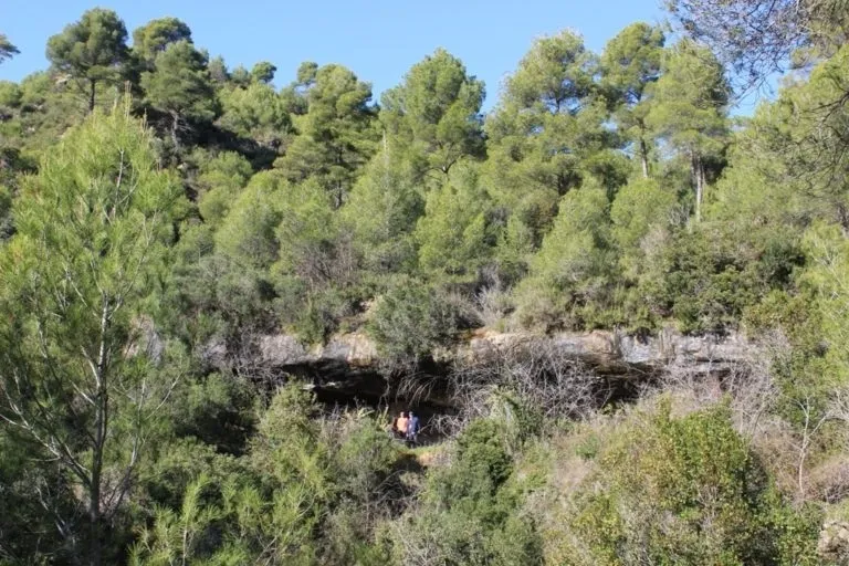
Bauma de la Guillotera
Formerly adapted rock shelter in Sagàs (Berguedà), excavated at the base of the waterfall of a small cascade.
EspeleoWorld
Bauma de la Guillotera
Formerly adapted rock shelter in Sagàs (Berguedà), excavated at the base of the waterfall of a small cascade.
Sagàs · Berguedà
Sviluppo: 7 m
Scheda aggiornata
https://espeleoworld.com/it/c/bauma-de-la-guillotera
Le informazioni possono cambiare. Verifica sempre coordinate, accesso, meteo e condizioni della cavità prima di partire.
Formerly adapted rock shelter in Sagàs (Berguedà), excavated at the base of the waterfall of a small cascade.
Topografia
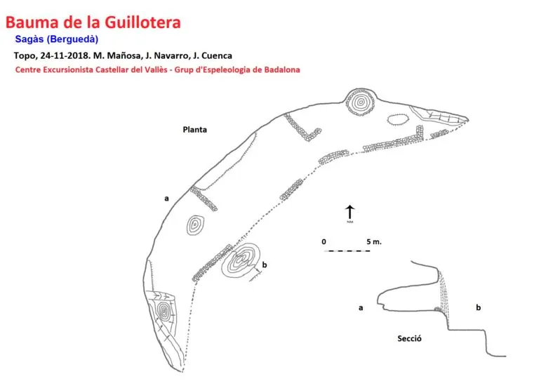
Espeleoindex · CC BY-NC 4.0, https://creativecommons.org/licenses/by-nc/4.0/ · Immagine © del suo autore.
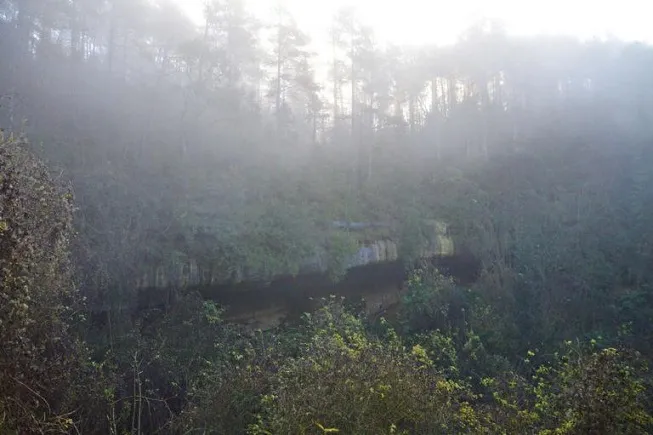
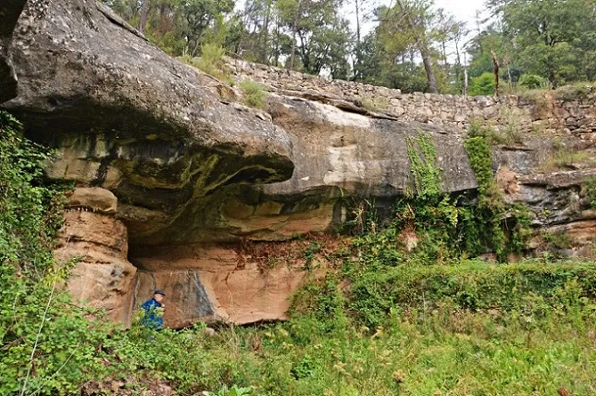
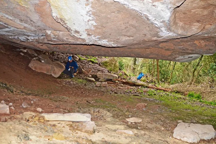
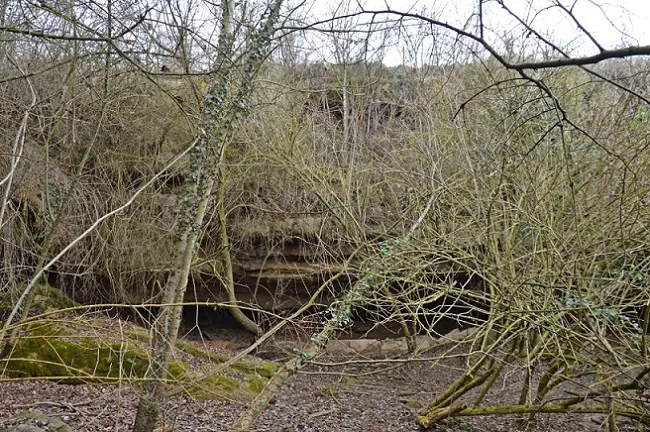
Foto
Espeleoindex · CC BY-NC 4.0, https://creativecommons.org/licenses/by-nc/4.0/ · Immagine © del suo autore.
Descrizione
Morfologia
The cavity is excavated at the base of the waterfall of a small cascade. Its porch about 46 metres wide, the 7 metres of maximum depth and an average height of 3 metres allow comfortable access to the interior of the extensive rock shelter.
Concrezioni
At the NW end of the rock shelter, next to the cistern, there are some concretions formed by the different drips existing on the ceiling.
Progressione
We will follow the path on foot with uphill sections for about 1.25 Km, at which point we will see the valley of the riera de Merlès and continue in a N direction for about 0.4 Km until reaching a marked torrent coming from the rock shelter, a few metres before a path climbs up to the cavity.
Altri dettagli
The plan of the rock shelter shows closing walls in a ruined state, as well as a cobbled cistern under some drips that determines a human use in the past.
Storia
Known since remote times. Visited by members of the CE de Castellar and GE Badalona on 24-11-2018 while carrying out cataloguing work.
Commenti degli utenti (0)
Nessun commento ancora.
Sii il primo a condividere la tua esperienza!
Esplorazioni registrate (0)
Nessuna esplorazione registrata.
Registra la tua visita a questa grotta!
Bibliografia
- Totes les dades, topografia i fotografies han estat extretes del web: geb.cat (del Grup d'Espeleologia de Badalona). Apunt del 2-12-2018. Dades: Montse Mañosa, Jordi Navarro (CE de Castellar del Vallès) i Josep Cuenca (GE Badalona).
Grotte vicine


Fonte: Espeleoindex (espeleoindex.com), modificato. CC BY-NC 4.0, https://creativecommons.org/licenses/by-nc/4.0/