
Bauma Cd-1 del Coll de Deogràcies
A 21-metre-long rock shelter in Guardiola de Berguedà, with a final elevation change of +8 metres.
EspeleoWorld
Bauma Cd-1 del Coll de Deogràcies
A 21-metre-long rock shelter in Guardiola de Berguedà, with a final elevation change of +8 metres.
Guardiola de Berguedà · Berguedà
Sviluppo: 21 m · Profondità: 8 m
Scheda aggiornata
https://espeleoworld.com/it/c/bauma-cd-1-del-coll-de-deogracies
Le informazioni possono cambiare. Verifica sempre coordinate, accesso, meteo e condizioni della cavità prima di partire.
A 21-metre-long rock shelter in Guardiola de Berguedà, with a final elevation change of +8 metres.
Topografia
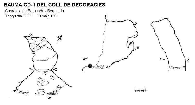

Espeleoindex · CC BY-NC 4.0, https://creativecommons.org/licenses/by-nc/4.0/ · Immagine © del suo autore.
Descrizione
Morfologia
It is a rock shelter with a length of 21 metres and an elevation change at the final part of +8 metres.
Storia
The first exploration was carried out on 19 May 1991 by the Grup Espeleològic de Badalona.
Commenti degli utenti (0)
Nessun commento ancora.
Sii il primo a condividere la tua esperienza!
Esplorazioni registrate (0)
Nessuna esplorazione registrata.
Registra la tua visita a questa grotta!
Bibliografia
- Porcel Caro, Enric.(1997).-”Prospeccions efectuades al Moixerò i Tossa d'Alp durant 1991-1992 (Berguedà i Cerdanya). Cavernes (24):51-59. GE Badalona.
- Valles, Jordi de.(2009).-”Berguedà, Cerdanya, Garrotxa, Ripollès” Catàleg Espeleològic de Catalunya (vol.3):1-381. EC Gràcia-FCE.
Grotte vicine
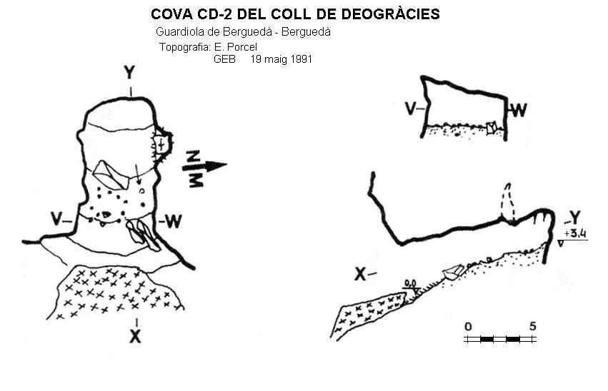
Cova Cd-2 del Coll de Deogràcies
0.1 km · NE
Guardiola de Berguedà (Berguedà)
1 topo.
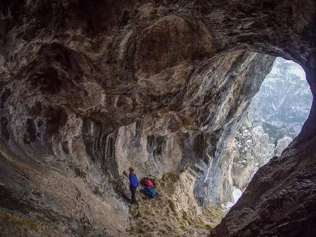
Bauma Rc-1 del Roquer del Claper
0.2 km · O
Guardiola de Berguedà (Berguedà)
1 topo.2 foto
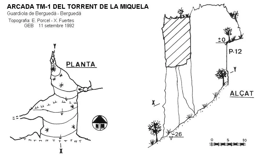
Arcada Tm-1 del Torrent de la Miquela
0.4 km · SO
Guardiola de Berguedà (Berguedà)
1 topo.
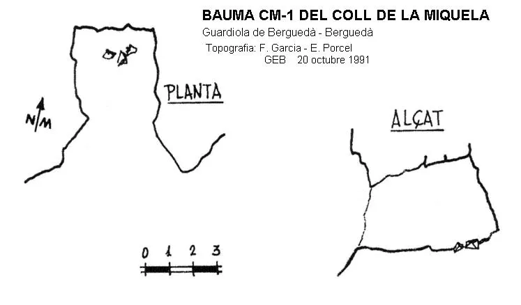
Bauma Cm-1 del Coll de la Miquela
0.4 km · O
Guardiola de Berguedà (Berguedà)
1 topo.
Fonte: Espeleoindex (espeleoindex.com), modificato. CC BY-NC 4.0, https://creativecommons.org/licenses/by-nc/4.0/