

Balma Roja de Vilacireres
A 5-metre-long rock shelter in Guixers (Solsonès), with a depth of about 4 to 5 metres and an opening of about 15 m.
EspeleoWorld
Balma Roja de Vilacireres
A 5-metre-long rock shelter in Guixers (Solsonès), with a depth of about 4 to 5 metres and an opening of about 15 m.
Guixers · Solsonès
Sviluppo: 5 m
Scheda aggiornata
https://espeleoworld.com/it/c/balma-roja-de-vilacireres
Le informazioni possono cambiare. Verifica sempre coordinate, accesso, meteo e condizioni della cavità prima di partire.
A 5-metre-long rock shelter in Guixers (Solsonès), with a depth of about 4 to 5 metres and an opening of about 15 m.
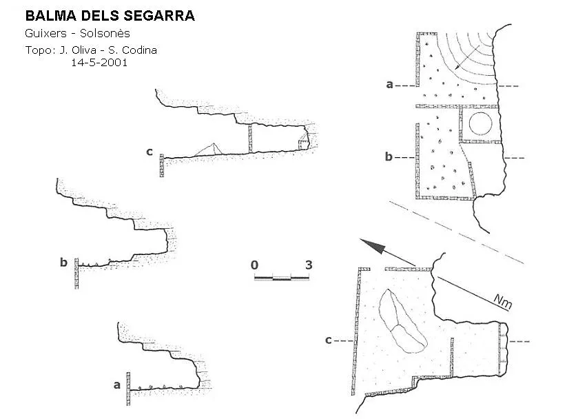
Topografia

Espeleoindex · CC BY-NC 4.0, https://creativecommons.org/licenses/by-nc/4.0/ · Immagine © del suo autore.
Foto
Espeleoindex · CC BY-NC 4.0, https://creativecommons.org/licenses/by-nc/4.0/ · Immagine © del suo autore.
Descrizione
Morfologia
It is about 4 to 5 metres deep and opens out over some 15 m with a fairly high, sunny visor. The terrain is conglomerate with a band of sandstone or gritstone with an inclined plane dipping to the north. The rock below is red in colour. About 50 metres above, a spur with a very good view over the torrent de Vilacireres.
Storia
Known since time immemorial.
Note biospeleologiche
We will only find goat droppings.
Commenti degli utenti (0)
Nessun commento ancora.
Sii il primo a condividere la tua esperienza!
Esplorazioni registrate (0)
Nessuna esplorazione registrata.
Registra la tua visita a questa grotta!
Bibliografia
- Catalunya Subterrània. Blog de Jordi de Valles, post del dimecres 29 d'octubre de 2014. “cavitatsdecatalunya.blogspot.com.es”. Dades arxiu Salvador Codina.
Grotte vicine
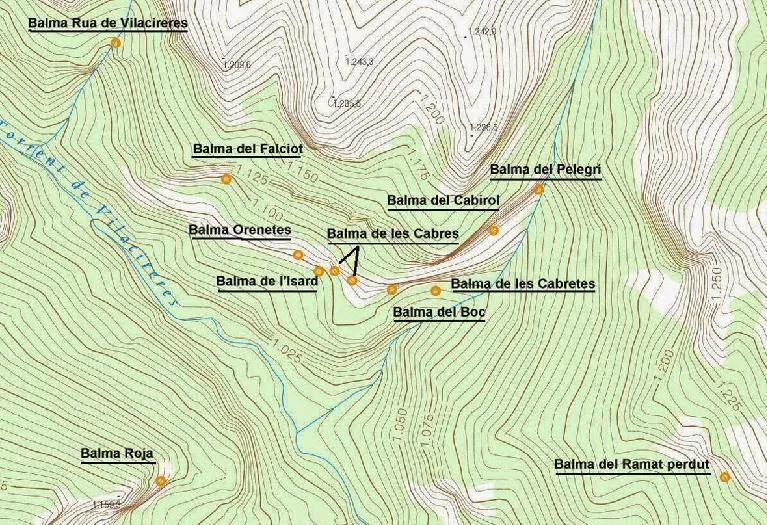
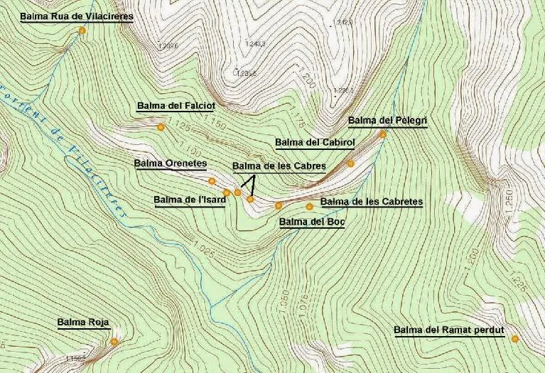
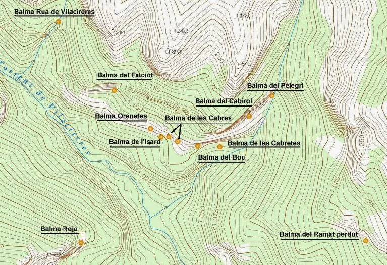


Fonte: Espeleoindex (espeleoindex.com), modificato. CC BY-NC 4.0, https://creativecommons.org/licenses/by-nc/4.0/