

Balma Gran
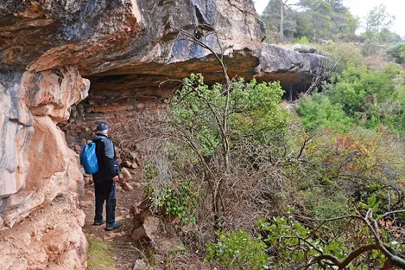
Interesting rock shelter in Rajadell (Bages), formed by differential erosion of calcareous sandstone and softer sandstone, also known as balma Gran or balma del Francès.
EspeleoWorld
Balma Gran
Interesting rock shelter in Rajadell (Bages), formed by differential erosion of calcareous sandstone and softer sandstone, also known as balma Gran or balma del Francès.
Rajadell · Bages
Sviluppo: 11 m · Profondità: 3 m
Scheda aggiornata
https://espeleoworld.com/it/c/balma-gran
Le informazioni possono cambiare. Verifica sempre coordinate, accesso, meteo e condizioni della cavità prima di partire.
Interesting rock shelter in Rajadell (Bages), formed by differential erosion of calcareous sandstone and softer sandstone, also known as balma Gran or balma del Francès.
Topografia

Espeleoindex · CC BY-NC 4.0, https://creativecommons.org/licenses/by-nc/4.0/ · Immagine © del suo autore.
Foto
Espeleoindex · CC BY-NC 4.0, https://creativecommons.org/licenses/by-nc/4.0/ · Immagine © del suo autore.
Descrizione
Morfologia
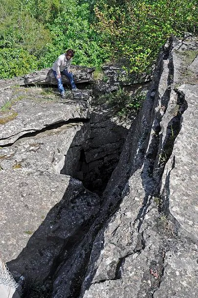
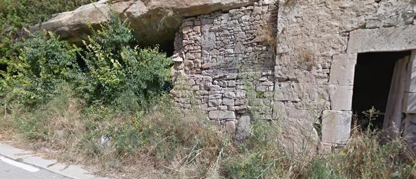
The rock shelter is formed by the differential erosion of some strata of calcareous sandstone found in the upper part and the softer sandstone found in the lower part. The rock shelter has dimensions of 33 m in length by 11 m in depth and a height of 3.5 m, the ceiling is fractured by three cracks that reach the exterior.
Storia
Known since remote times. It should be mentioned that the anarchist guerrilla Ramon Vila i Capdevila, alias “Caracremada”, took refuge in the rock shelter; he knew the terrain very well, since he worked on a farmhouse in the village of Fals. He was active in the area in the years 1951 and 1952, which is why the civil guard deployed more troops to watch these places.
Commenti degli utenti (0)
Nessun commento ancora.
Sii il primo a condividere la tua esperienza!
Esplorazioni registrate (0)
Nessuna esplorazione registrata.
Registra la tua visita a questa grotta!
Bibliografia
- Totes les dades, topografia i fotografies han estat extretes del web: geb.cat (del Grup d'Espeleologia de Badalona). Apunt del 30-1-2023. Dades: Josep Cuenca i Xavier Samarra (GEB)
Grotte vicine



Fonte: Espeleoindex (espeleoindex.com), modificato. CC BY-NC 4.0, https://creativecommons.org/licenses/by-nc/4.0/