
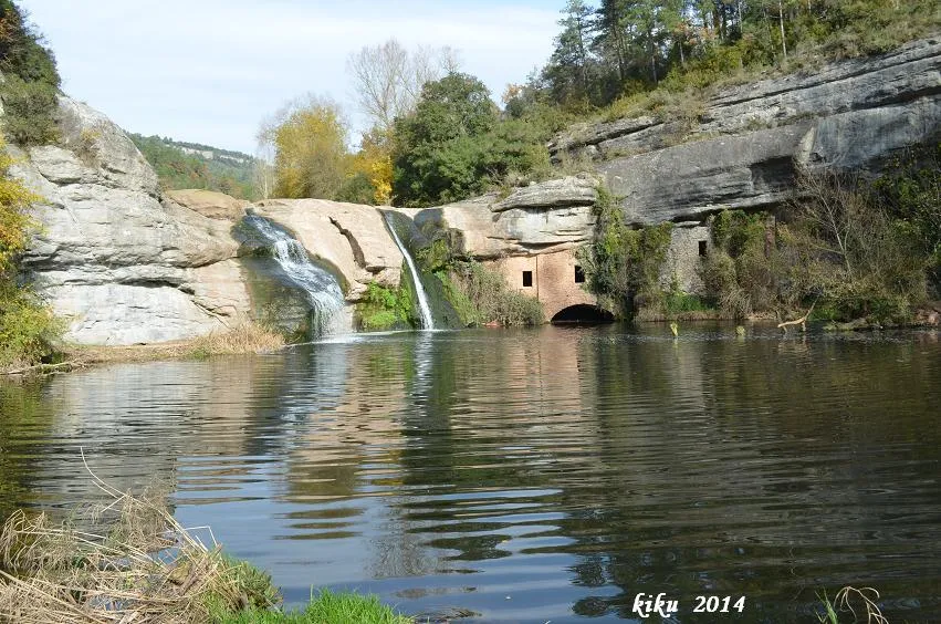
Balma del Molí de Brotons
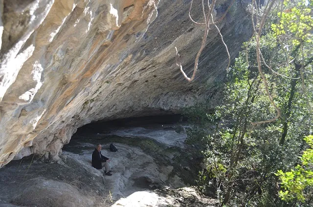
A 7-metre-deep rock shelter on the riera de Marfà, in Castellcir, largely occupied by the construction of the Molí de Brotons.
EspeleoWorld
Balma del Molí de Brotons
A 7-metre-deep rock shelter on the riera de Marfà, in Castellcir, largely occupied by the construction of the Molí de Brotons.
Castellcir · Moianès
Sviluppo: 7 m
Scheda aggiornata
https://espeleoworld.com/it/c/balma-del-moli-de-brotons
Le informazioni possono cambiare. Verifica sempre coordinate, accesso, meteo e condizioni della cavità prima di partire.
A 7-metre-deep rock shelter on the riera de Marfà, in Castellcir, largely occupied by the construction of the Molí de Brotons.
Topografia
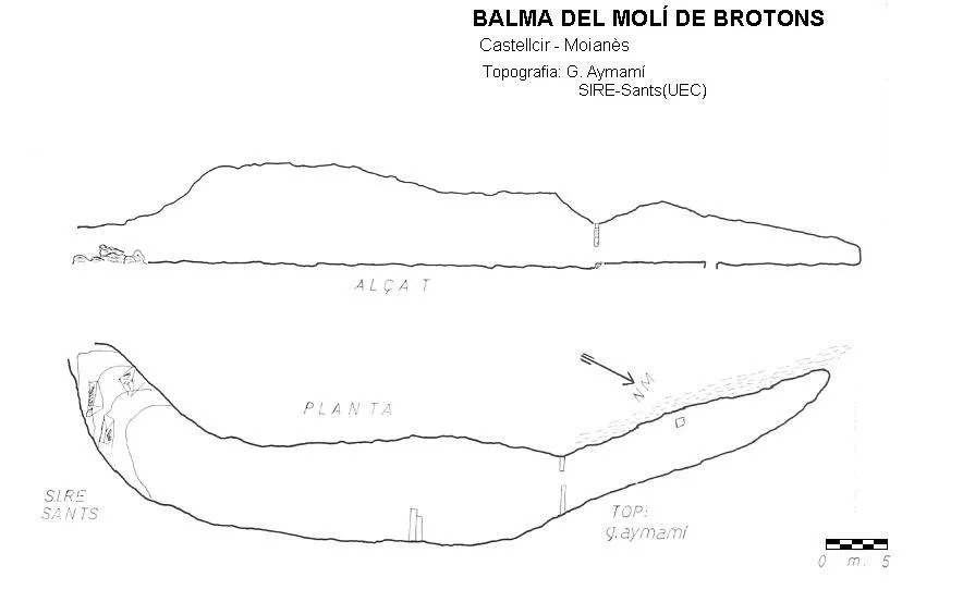
Espeleoindex · CC BY-NC 4.0, https://creativecommons.org/licenses/by-nc/4.0/ · Immagine © del suo autore.
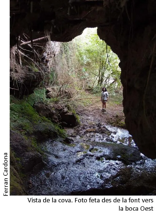
Foto
Espeleoindex · CC BY-NC 4.0, https://creativecommons.org/licenses/by-nc/4.0/ · Immagine © del suo autore.
Descrizione
Morfologia
It is a rock shelter 7 metres deep, with a width of about 60 metres, although a good part of it is occupied by the construction of the mill.
Storia
It was inhabited and in operation at least from 1608 (when it is named Molí de Brotons o dels Pilars) until the year 1863, when there was an extraordinary flood that swept away a baby with its little wooden bed from inside the mill, and the eight people of the miller's family died there. Since then it has been abandoned.
Commenti degli utenti (0)
Nessun commento ancora.
Sii il primo a condividere la tua esperienza!
Esplorazioni registrate (0)
Nessuna esplorazione registrata.
Registra la tua visita a questa grotta!
Bibliografia
- Aymamí Domingo, Gener; Pallarès Personat, Joan.(1994).-”Els molins hidràulics del Moianès i de la Riera de Caldes”.Arxiu Bibliogràfic Excursionista de la UEC (31):1-119. Unió Excursionista de Catalunya de Barcelona.
Grotte vicine

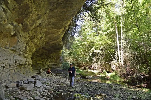


Fonte: Espeleoindex (espeleoindex.com), modificato. CC BY-NC 4.0, https://creativecommons.org/licenses/by-nc/4.0/