
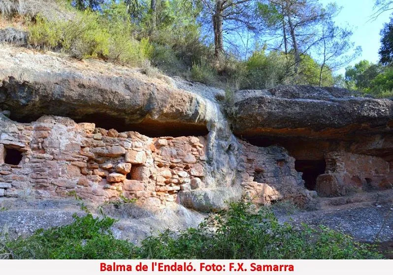
Balma de l'Endaló
A worked rock shelter in Rellinars, in the Vallès Occidental, about 13 metres wide and 7 metres deep at its maximum, with a dry-stone wall and concretions formed by the torrent del Vetllador.
EspeleoWorld
Balma de l'Endaló
A worked rock shelter in Rellinars, in the Vallès Occidental, about 13 metres wide and 7 metres deep at its maximum, with a dry-stone wall and concretions formed by the torrent del Vetllador.
Rellinars · Vallès Occidental
Sviluppo: 7 m
Scheda aggiornata
https://espeleoworld.com/it/c/balma-de-l-endalo
Le informazioni possono cambiare. Verifica sempre coordinate, accesso, meteo e condizioni della cavità prima di partire.
A worked rock shelter in Rellinars, in the Vallès Occidental, about 13 metres wide and 7 metres deep at its maximum, with a dry-stone wall and concretions formed by the torrent del Vetllador.
Topografia
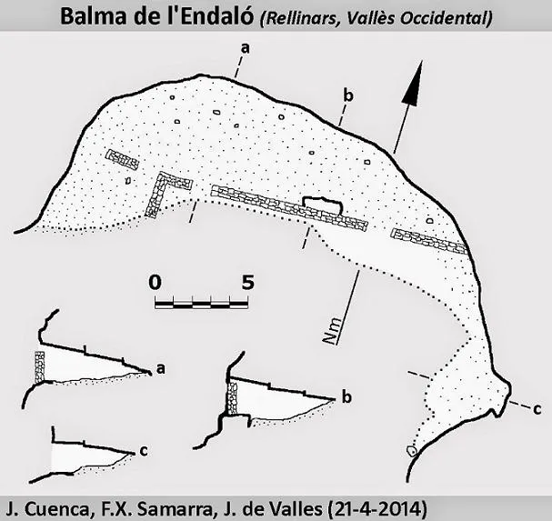

Espeleoindex · CC BY-NC 4.0, https://creativecommons.org/licenses/by-nc/4.0/ · Immagine © del suo autore.
Foto

Espeleoindex · CC BY-NC 4.0, https://creativecommons.org/licenses/by-nc/4.0/ · Immagine © del suo autore.
Descrizione
Morfologia
It is a worked rock shelter about 13 metres wide and with a maximum depth of 7 metres. The whole front of the rock shelter is closed by a dry-stone wall. Inside, the floor is made up of sand and the rock shelter quickly loses height until it meets the roof. The rock shelter continues to the right in a S direction for about 10 metres more.
Concrezioni
The torrent has formed a layer of concretion that covers the wall.
Idrologia
The torrent flows very close to the centre of the rock shelter.
Progressione
We will leave Rellinars heading N along carrer de Sant Pere (PK 15.38 of the B-122 road). We soon come to a bridge over the riera de Rellinars, and once past it we will take the first turning on the right and follow the track, which runs parallel to the riera de Rellinars. After about 600 m we will reach the torrent del Vetllador, where the track forks. We will leave the car here (as a reference, there is well no. 3 of the Aigües de Terrassa water supply). We will continue on foot along the right-hand track and will soon find on the right a path that descends to the torrent. The rock shelter, well signposted, is in the bed of the torrent del Vetllador.
Altri dettagli
A well-known worked rock shelter in Rellinars (Vallès Occidental).
Storia
Known since time immemorial. The rock shelter is cited indistinctly as "Andaló" and "Endaló", without our being able to determine which is the correct name. It was worked by a farmer named Endaló and used as an occasional dwelling and store. Like many other cavities, it was also a hiding place for the people of Rellinars during the civil war.
Commenti degli utenti (0)
Nessun commento ancora.
Sii il primo a condividere la tua esperienza!
Esplorazioni registrate (0)
Nessuna esplorazione registrata.
Registra la tua visita a questa grotta!
Bibliografia
- Totes les dades, topografia i fotografies estan extretes del blog: cavitatsdecatalunya.blogspot (de Jordi de Valles). Apunt del 15-12-2014. Dades: J. Cuenca; F.X. Samarra (GE Badalona)
Grotte vicine
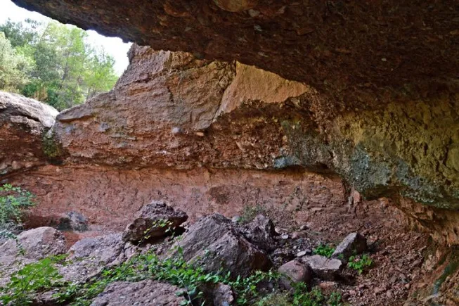
Balma del Torrent de l'esbarzer
1.2 km · N
Rellinars (Vallès Occidental)
1 topo.4 foto
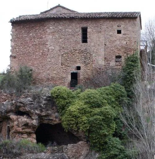
Cova de Can Cotis
1.5 km · O
Rellinars (Vallès Occidental)
1 topo.2 foto
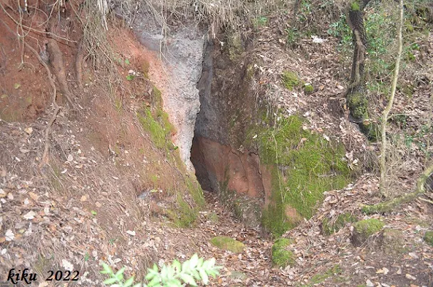
la Barbotera
1.5 km · E
Rellinars (Vallès Occidental)
1 topo.3 foto
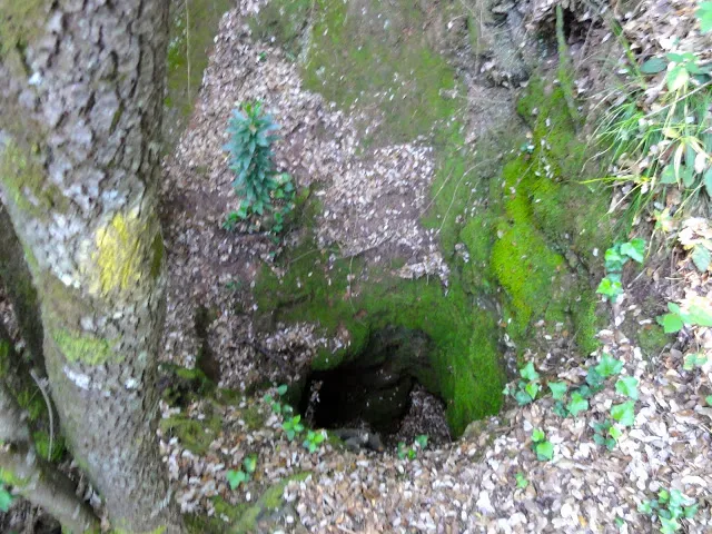
Avenc de la Barbotera
1.6 km · E
Rellinars (Vallès Occidental)
3 topo.1 foto
Fonte: Espeleoindex (espeleoindex.com), modificato. CC BY-NC 4.0, https://creativecommons.org/licenses/by-nc/4.0/