
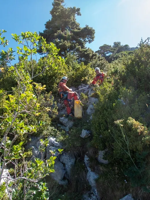
Avencs Petits de Cerneres
A 10 m deep cavity in the Serra del Cadí, with two entrances about 5 m apart. Detected by Jordi Francès using a LIDAR map and explored on 5-7-2026.
EspeleoWorld
Avencs Petits de Cerneres
A 10 m deep cavity in the Serra del Cadí, with two entrances about 5 m apart. Detected by Jordi Francès using a LIDAR map and explored on 5-7-2026.
Josa i Tuixén · Alt Urgell
Sviluppo: 26 m · Profondità: 10 m
Scheda aggiornata
https://espeleoworld.com/it/c/avencs-petits-de-cerneres
Le informazioni possono cambiare. Verifica sempre coordinate, accesso, meteo e condizioni della cavità prima di partire.
A 10 m deep cavity in the Serra del Cadí, with two entrances about 5 m apart. Detected by Jordi Francès using a LIDAR map and explored on 5-7-2026.
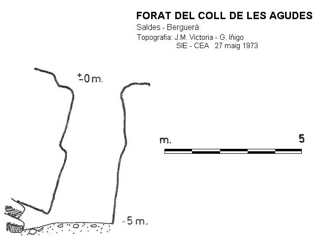
Topografia

Espeleoindex · CC BY-NC 4.0, https://creativecommons.org/licenses/by-nc/4.0/ · Immagine © del suo autore.
Foto
Espeleoindex · CC BY-NC 4.0, https://creativecommons.org/licenses/by-nc/4.0/ · Immagine © del suo autore.
Descrizione
Morfologia
A 10 m deep cavity in the Serra del Cadí.
Descending through pit no. 1 we find a shaft about 3-4 metres wide and just over 9 m of drop. At the end of its bottom one reaches a narrow passage that, once passed, allows access to the lower zone of pit no. 2.
This one also presents a wide shaft but it soon narrows and one can reach a ramp gallery that connects with the aforementioned narrow passage.
Progressione
Descending through pit no. 1 we find a shaft about 3-4 metres wide and just over 9 m of drop. At the end of its bottom one reaches a narrow passage that, once passed, allows access to the lower zone of pit no. 2.
This one also presents a wide shaft but it soon narrows and one can reach a ramp gallery that connects with the aforementioned narrow passage.
Storia
The entrances were detected by Jordi Francès on the LIDAR map, and at the end of June 2026 he was able to locate them on the ground.
The following Sunday, 5-7-2026, he himself, accompanied by Yolanda Asensio and Josep Guarro, carried out the exploration and the cataloguing tasks.
Commenti degli utenti (0)
Nessun commento ancora.
Sii il primo a condividere la tua esperienza!
Esplorazioni registrate (0)
Nessuna esplorazione registrata.
Registra la tua visita a questa grotta!
Bibliografia
Totes les dades, topografia i fotografies han estat facilitades per Jordi Francès, Yolanda Asensio i Josep Guarro (juliol 2026)
Grotte vicine


Fonte: Espeleoindex (espeleoindex.com), modificato. CC BY-NC 4.0, https://creativecommons.org/licenses/by-nc/4.0/