
Avenc dels Ametllers
A 24 m deep pit in Pratdip (Baix Camp)
EspeleoWorld
Avenc dels Ametllers
A 24 m deep pit in Pratdip (Baix Camp)
Pratdip · Baix Camp
Sviluppo: 55 m · Profondità: 24 m
Scheda aggiornata
https://espeleoworld.com/it/c/avenc-dels-ametllers
Le informazioni possono cambiare. Verifica sempre coordinate, accesso, meteo e condizioni della cavità prima di partire.
A 24 m deep pit in Pratdip (Baix Camp)
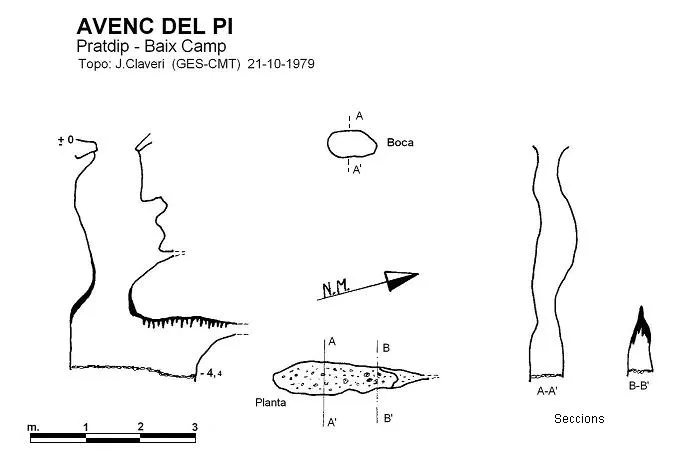
Topografia
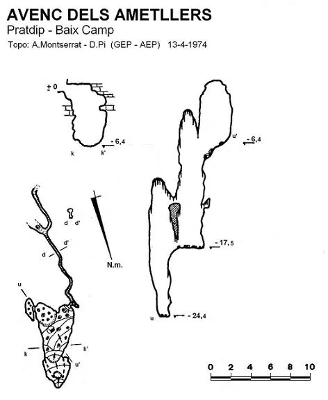
Espeleoindex · CC BY-NC 4.0, https://creativecommons.org/licenses/by-nc/4.0/ · Immagine © del suo autore.
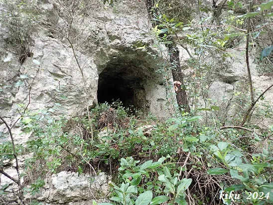
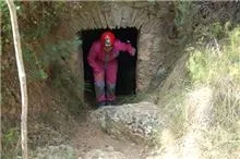
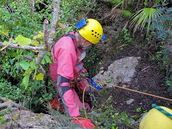
Foto
Espeleoindex · CC BY-NC 4.0, https://creativecommons.org/licenses/by-nc/4.0/ · Immagine © del suo autore.
Descrizione
Morfologia
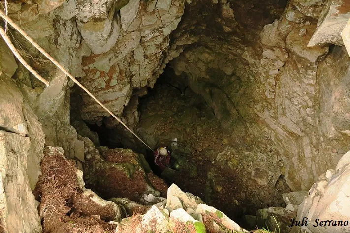
The entrance is circular in shape and a first 6-metre shaft places us on a ledge into which sunlight enters. It continues into a fan of scree with a steep incline towards the S. This descent leads us, along its right-hand side, to a small chamber from which emerges a very narrow gallery oriented S, which was followed for about 17 metres. It describes several meanders until reaching a fork. The gallery, owing to its low height and a block covered with concretions, is almost totally obstructed. The other gallery that emerges from the fork is perpendicular to the previous one, running about 7 metres until progress is impossible because of its narrowness. Back at the base of the entrance shaft, it continues through a sloping passage and after an 11-metre shaft with a circular base that gives, on one side, onto another 7-metre shaft, where the cavity ends.
Storia
The only references we have are those of the exploration carried out by members of the GEP of the Agrupació Excursionista Pedraforca (Barcelona) on 13 April 1974.
Commenti degli utenti (0)
Nessun commento ancora.
Sii il primo a condividere la tua esperienza!
Esplorazioni registrate (0)
Nessuna esplorazione registrata.
Registra la tua visita a questa grotta!
Bibliografia
- Borràs, J.; Miñarro, JM.; Talavera, F. (1984).-”el Baix Camp, el Priorat i la Ribera d'Ebre”. Catàleg espeleològic de Catalunya. (Vol. 7): 283 pp .Políglota. Barcelona.
- Montserrat, A. (1975).- “L'avenc dels Ametllers”. Ildobates (VI): 60-66. GEP Agrupació Excursionista Pedraforca. Barcelona.
- Montserrat, A. (1979).- “Sobre algunes cavitats de les comarques del Baix Camp i Priorat”. Espeleòleg (28): 489-530. ERE del CEC. Barcelona.
- Actualització de fitxa octubre de 2019. Coordenades, situació i fotografies aportades per Juli Serrano i Francesc Rubinat.
Grotte vicine


Fonte: Espeleoindex (espeleoindex.com), modificato. CC BY-NC 4.0, https://creativecommons.org/licenses/by-nc/4.0/