

Avenc del Pla de Sots
A pit 9.5 metres deep at Pla de Sots, Begues, dug open and explored in 1999 by the Espeleo Grup L'Hospitalet.
EspeleoWorld
Avenc del Pla de Sots
A pit 9.5 metres deep at Pla de Sots, Begues, dug open and explored in 1999 by the Espeleo Grup L'Hospitalet.
Begues · Baix Llobregat
Sviluppo: 12 m · Profondità: 9 m
Scheda aggiornata
https://espeleoworld.com/it/c/avenc-del-pla-de-sots
Le informazioni possono cambiare. Verifica sempre coordinate, accesso, meteo e condizioni della cavità prima di partire.
A pit 9.5 metres deep at Pla de Sots, Begues, dug open and explored in 1999 by the Espeleo Grup L'Hospitalet.
Topografia
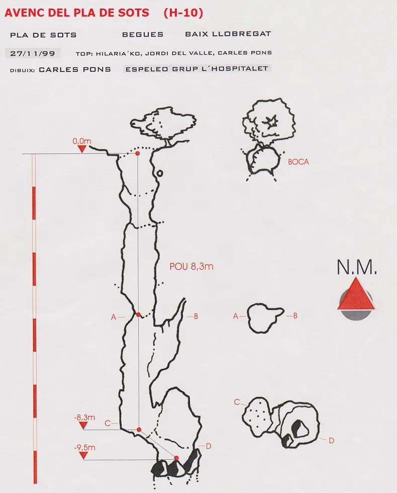
Espeleoindex · CC BY-NC 4.0, https://creativecommons.org/licenses/by-nc/4.0/ · Immagine © del suo autore.
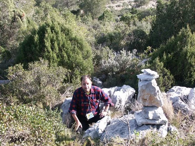
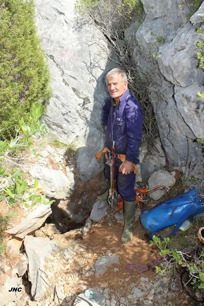
Foto
Espeleoindex · CC BY-NC 4.0, https://creativecommons.org/licenses/by-nc/4.0/ · Immagine © del suo autore.
Descrizione
Morfologia
A narrow pit 8.5 metres deep places us at its base, where it coalesces with the upper part of what appears to be a new pit, but this remains totally collapsed by blocks one metre further down.
Storia
Dug open and explored in 1999 by members of the Espeleo Grup L'Hospitalet.
Commenti degli utenti (0)
Nessun commento ancora.
Sii il primo a condividere la tua esperienza!
Esplorazioni registrate (0)
Nessuna esplorazione registrata.
Registra la tua visita a questa grotta!
Bibliografia
- Rubinat Aumedes, F. (2004).-“Catàleg Espeleològic del Massís de l'Ordal”. Espeleosie (Monogràfic):1-117. SIE-CE Àliga. Barcelona.
- Valles, J. De (2017).-”Baix Llobregat”. Catàleg Espeleològic de Catalunya Vol.6:(1-368). ECG/FCE.
- Topografia facilitada per Carles Pons (Espeleo Grup l'Hospitalet) l'any 1999.
- Coordenades, situació i fotografies facilitades per Martí Romero (ERE-CEC).
Grotte vicine



Fonte: Espeleoindex (espeleoindex.com), modificato. CC BY-NC 4.0, https://creativecommons.org/licenses/by-nc/4.0/