
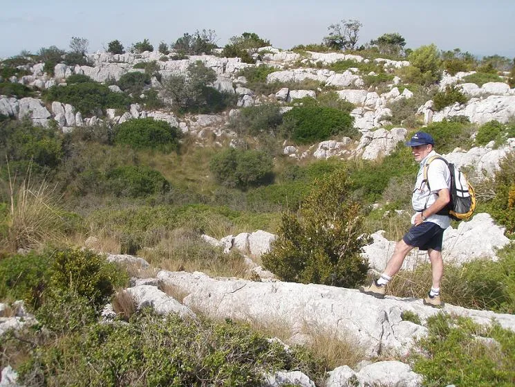
Avenc de les Garses
A 146-metre-deep pit in the Serrat de la Morella (Garraf), with a large doline 50 metres in diameter and 7 metres of drop.
EspeleoWorld
Avenc de les Garses
A 146-metre-deep pit in the Serrat de la Morella (Garraf), with a large doline 50 metres in diameter and 7 metres of drop.
Begues · Baix Llobregat
Sviluppo: 225 m · Profondità: 146 m
Scheda aggiornata
https://espeleoworld.com/it/c/avenc-de-les-garses-begues
Le informazioni possono cambiare. Verifica sempre coordinate, accesso, meteo e condizioni della cavità prima di partire.
A 146-metre-deep pit in the Serrat de la Morella (Garraf), with a large doline 50 metres in diameter and 7 metres of drop.
Topografia
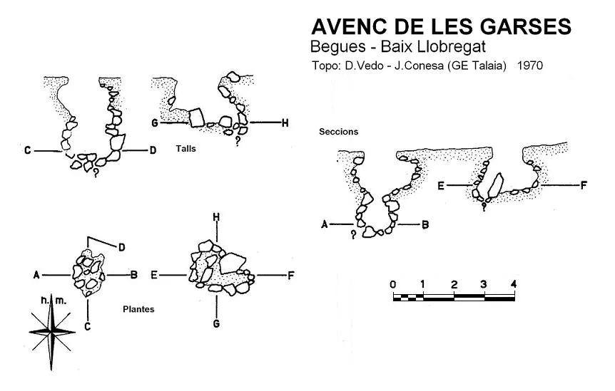
Espeleoindex · CC BY-NC 4.0, https://creativecommons.org/licenses/by-nc/4.0/ · Immagine © del suo autore.
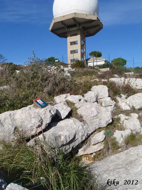
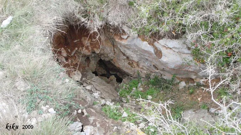
Foto
Espeleoindex · CC BY-NC 4.0, https://creativecommons.org/licenses/by-nc/4.0/ · Immagine © del suo autore.
Descrizione
Morfologia
Spectacular doline 50 metres in diameter and about 7 metres of drop. At its bottom we find the mouth of the cavity.
According to the explorers, this cavity from elevation -11 metres to the final elevation at -146 metres is a single shaft of -135 metres called Pou Félix Alabart, which is obstructed at various points. This shaft also has two distinct parts, the upper part would be formed by a shaft of -86 metres, up to the Sala de l'Espera, and the second part would comprise from this chamber to the end, which would be a shaft of -49 metres.
Progressione
Along a narrow passage where three clearings have been carried out, it places us approximately at elevation -15 metres, where a climb of +4 metres must be made to access a shaft of -13 metres; at its base, which had to be cleared, we find the access to a shaft of -57 metres, which places us at elevation -80 metres. At its base we find two continuations, a shaft that ends at -4 metres, and another shaft of -18 metres that place us in the sala de l'Espera; at this point two continuations begin, in both routes their clearing was necessary.
The via Pau Balard continues through a shaft of about -23 metres; at the base and through a crawlway one accesses the middle of a shaft; at the base of this we find the end of this route at -139 metres of depth.
From the sala de l'Espera, if we follow the via de les Garses, we will descend -49 metres through a series of narrow shafts, crossing a point that had to be cleared, until reaching the final elevation located at -146 metres of depth.
Altri dettagli
Currently, the avenc de les Garses is rigged with recoverable “multi-monti” and all speleologists interested in going there are asked not to do so until the exploration is considered finished. In addition, it is advisable to go equipped with an oxygen detector since there may be hypoxia.
Storia
Large doline always known to speleologists. The clearing works at its bottom gave rise to the small cavities that, for the first time, were cited as Avenc de les Garses by the members of the GE Talaia in 1970.
Until recently it was catalogued as a small cavity of 3 metres of depth but, as a result of the revision of some pits of the Garraf by the ECG and the GEB, members of the speleoclub de Gràcia reached elevation -5.6 metres, where a block impeded the continuation.
Subsequently, two more clearings by the ECG led to elevation -100 m. From this point and until reaching the current elevation of -146 metres, members of the EGAN also join in the collaboration.
Commenti degli utenti (0)
Nessun commento ancora.
Sii il primo a condividere la tua esperienza!
Esplorazioni registrate (0)
Nessuna esplorazione registrata.
Registra la tua visita a questa grotta!
Bibliografia
- Ferrer, J. (1971).- “Garraf-70”. Soterrània (2): 4-12. GET de l'Agrupació Excursionista Talaia. Vilanova i la Geltrú.
- Dades, topografia i fotos interiors extretes del blog “Som de l'EGAN”, post del dia 06-10-2016 (espeleogrupanoia.blogspot.com.es)
- Altres dades, coordenades i fotos exteriors: Arxiu ERE – CEC
Grotte vicine


Fonte: Espeleoindex (espeleoindex.com), modificato. CC BY-NC 4.0, https://creativecommons.org/licenses/by-nc/4.0/