
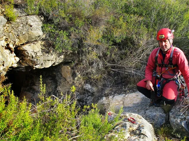
Avenc de l'Arrel
A 46 m deep pit in El Perelló, Baix Ebre, at the head of the barranc de Coma Novell, beside the Parc Eòlic de les Colladetes.
EspeleoWorld
Avenc de l'Arrel
A 46 m deep pit in El Perelló, Baix Ebre, at the head of the barranc de Coma Novell, beside the Parc Eòlic de les Colladetes.
Perelló, El · Baix Ebre
Sviluppo: 60 m · Profondità: 46 m
Scheda aggiornata
https://espeleoworld.com/it/c/avenc-de-l-arrel
Le informazioni possono cambiare. Verifica sempre coordinate, accesso, meteo e condizioni della cavità prima di partire.
A 46 m deep pit in El Perelló, Baix Ebre, at the head of the barranc de Coma Novell, beside the Parc Eòlic de les Colladetes.
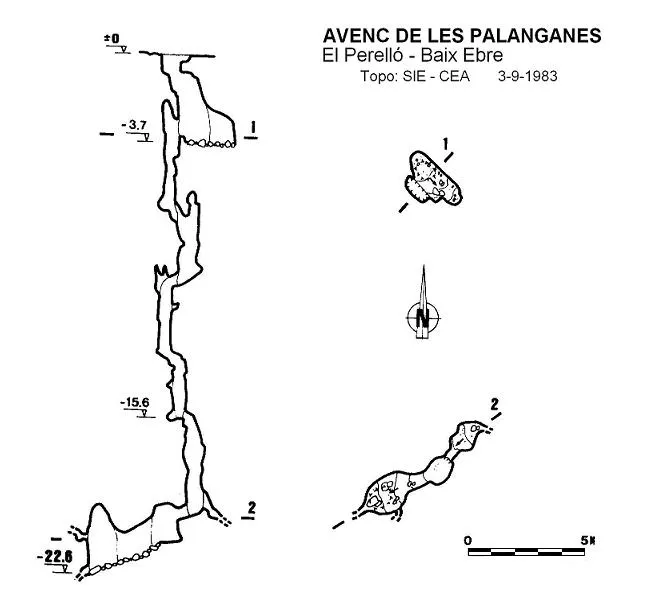
Topografia
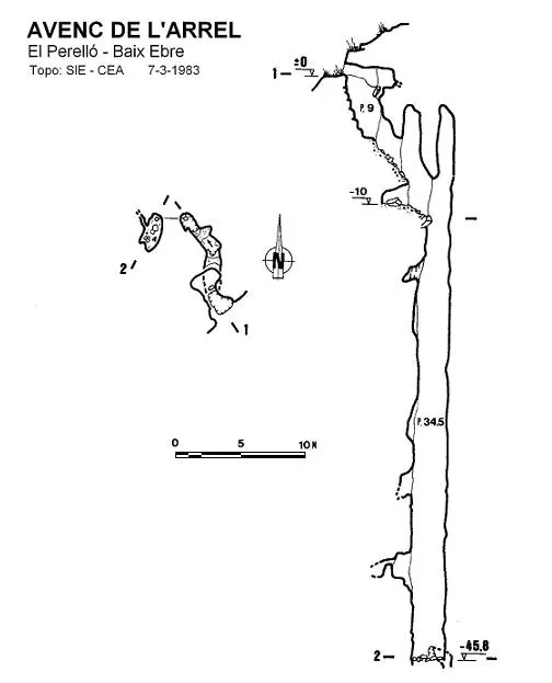
Espeleoindex · CC BY-NC 4.0, https://creativecommons.org/licenses/by-nc/4.0/ · Immagine © del suo autore.
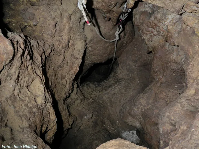
Foto
Espeleoindex · CC BY-NC 4.0, https://creativecommons.org/licenses/by-nc/4.0/ · Immagine © del suo autore.
Descrizione
Morfologia
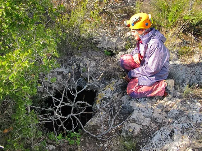
Through a horizontal mouth you enter a 9 metre shaft, followed by a very steep ramp and a small step, which drops you into a shaft, in the form of a joint and with a drop of 34.5 metres. At its bottom there is a small, very narrow conduit, which represents the point of maximum depth, at 45.8 metres deep.
Concrezioni
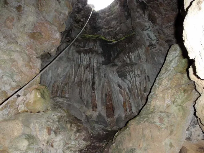
In the upper zone of the pit a fairly developed lithogenic process can be observed, but totally decalcified.
Storia
The first exploration took place in early January 1961 and was carried out by members of the SES Puigmal (Barcelona) during a brief campaign in the area. They attributed 52 metres of depth to it.
We have no further news of the cavity until the visit of the SIE – CEA in March 1983. The survey carried out fixes the maximum depth at 45.8 metres.
Commenti degli utenti (0)
Nessun commento ancora.
Sii il primo a condividere la tua esperienza!
Esplorazioni registrate (0)
Nessuna esplorazione registrata.
Registra la tua visita a questa grotta!
Bibliografia
- SES – Puigmal (1961).- “ Serra de Cardó (Tarragona)”. Cordada (65): 8-9. J. Mª Armengou, editor. Barcelona.
- SIE (1984).- “Resultat de les exploracions realitzades a la zona del Perelló (Baix Ebre)”. EspeleoSie (27): 76-97. SIE del Centre Excursionista Àliga. Barcelona.
- Revisió de coordenades i fotografies de Julio Serrano i Montse Roca, extretes del blog: espeleobloc.blogspot (post del dia 11-1-2014)
- Actualització de coordenades i de situació facilitades per membres de l'Espeleodijous (juliol 2022). Apunt del 14-7-2022
Grotte vicine


Fonte: Espeleoindex (espeleoindex.com), modificato. CC BY-NC 4.0, https://creativecommons.org/licenses/by-nc/4.0/