
Avenc de Can Roca Roja Nº3
A 12-metre-deep pit in the Can Roca Roja area, Sant Feliu de Pallerols, explored and surveyed on 9 June 1976 by the GGG.
EspeleoWorld
Avenc de Can Roca Roja Nº3
A 12-metre-deep pit in the Can Roca Roja area, Sant Feliu de Pallerols, explored and surveyed on 9 June 1976 by the GGG.
Sant Feliu de Pallerols · Garrotxa
Sviluppo: 46 m · Profondità: 12 m
Scheda aggiornata
https://espeleoworld.com/it/c/avenc-de-can-roca-roja-n-3
Le informazioni possono cambiare. Verifica sempre coordinate, accesso, meteo e condizioni della cavità prima di partire.
A 12-metre-deep pit in the Can Roca Roja area, Sant Feliu de Pallerols, explored and surveyed on 9 June 1976 by the GGG.
Topografia
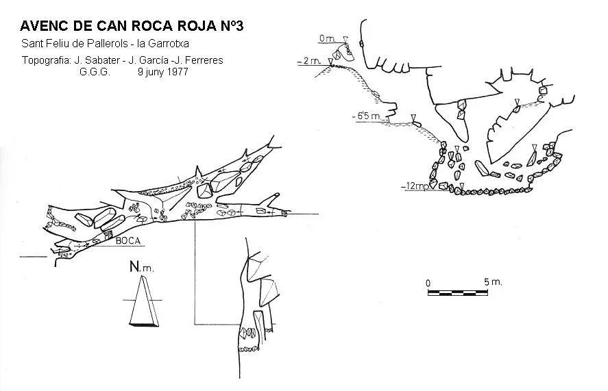

Espeleoindex · CC BY-NC 4.0, https://creativecommons.org/licenses/by-nc/4.0/ · Immagine © del suo autore.
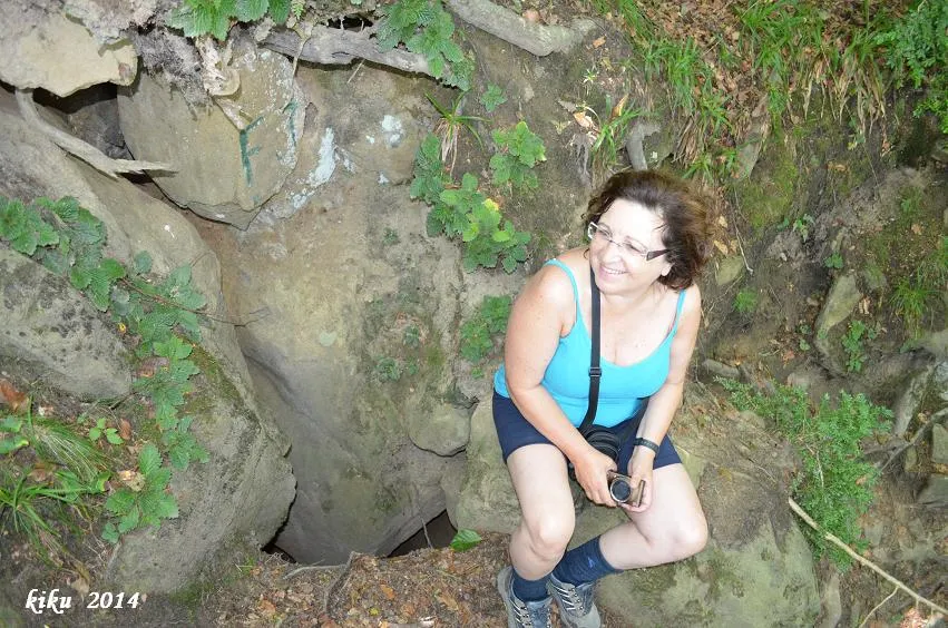
Foto

Espeleoindex · CC BY-NC 4.0, https://creativecommons.org/licenses/by-nc/4.0/ · Immagine © del suo autore.
Descrizione
Morfologia
The entrance of this small cavity appears divided in two, one above the other. At the entrance there follows a ramp with a 40º incline and 6 metres long. From here, through a small chaos of blocks with a 4-metre drop and 8-metre length, the deepest point of the cavity is reached.
Progressione
The entrance of this small cavity appears divided in two, one above the other. At the entrance there follows a ramp with a 40º incline and 6 metres long. From here, through a small chaos of blocks with a 4-metre drop and 8-metre length, the deepest point of the cavity is reached.
Storia
The first exploration of which we have record is the one carried out on 9 June 1976 by members of the GGG (Grup Geogràfic de Gràcia, predecessor of the current ECG), who explored and surveyed the cavity. At first it was mistakenly named “Avenc de Can Roca Reiga nº 3”; this name was corrected in later catalogues to the correct name of “Can Roca Roja”.
Commenti degli utenti (0)
Nessun commento ancora.
Sii il primo a condividere la tua esperienza!
Esplorazioni registrate (0)
Nessuna esplorazione registrata.
Registra la tua visita a questa grotta!
Bibliografia
- Borràs, J;Miñarro, JM; Talavera, F.(1982).-”el Baix Empordà, el Gironès, la Selva,l'Osona, el Vallès oriental i el Maresme.” Catàleg Espeleològic de Catalunya (vol.6):84-85. Ed Políglota. Barcelona.
- Lagar, A.; Cardona, F.; Ferreres,J.(1977).-”Dades per al coneixement espeleològic de la Salut – Collsacabra. Barcelona” Excursionisme (31):24-32. UEC.
- Lagar, A.; Cardona, F.; Ferreres,J.(1978).-”Datos para el conocimiento espeleològico de la Salut – Collsacabra. Barcelona. Exploracions (2):11-27. Grup Geogràfic de Gràcia.
Grotte vicine
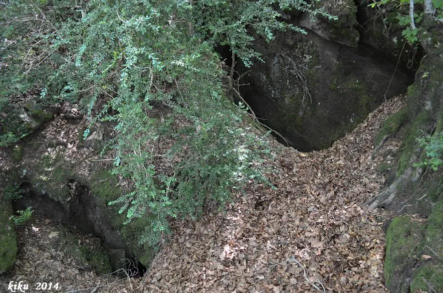
Avenc de Can Roca Roja Nº2
0.0 km · E
Sant Feliu de Pallerols (Garrotxa)
2 topo.4 foto
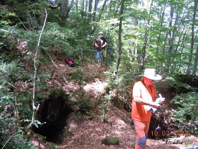
Avenc de Can Roca Roja Nº4
0.0 km · E
Sant Feliu de Pallerols (Garrotxa)
1 topo.4 foto
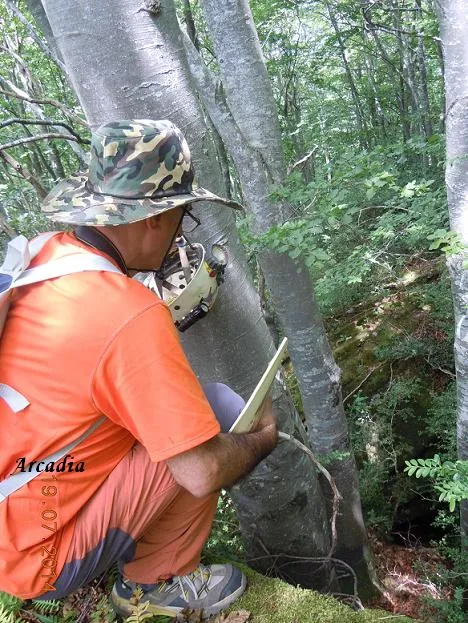
Avenc de Can Roca Roja Nº1
0.1 km · SO
Sant Feliu de Pallerols (Garrotxa)
1 topo.4 foto
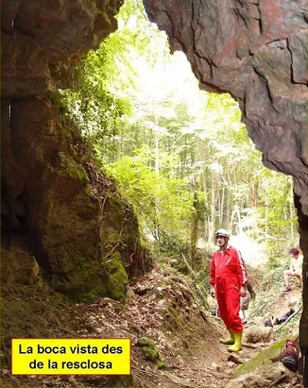
Cova de la Font Grossa
0.5 km · N
Sant Feliu de Pallerols (Garrotxa)
3 topo.5 foto
Fonte: Espeleoindex (espeleoindex.com), modificato. CC BY-NC 4.0, https://creativecommons.org/licenses/by-nc/4.0/