
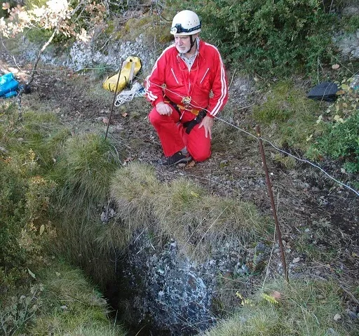
Avenc de Can Rial
A 16 m deep pit in the Serra de Busa (Navès), explored by Mª Dolors and Martí Romero (ERE-CEC) on 4 July 1968.
EspeleoWorld
Avenc de Can Rial
A 16 m deep pit in the Serra de Busa (Navès), explored by Mª Dolors and Martí Romero (ERE-CEC) on 4 July 1968.
Navès · Solsonès
Sviluppo: 26 m · Profondità: 16 m
Scheda aggiornata
https://espeleoworld.com/it/c/avenc-de-can-rial
Le informazioni possono cambiare. Verifica sempre coordinate, accesso, meteo e condizioni della cavità prima di partire.
A 16 m deep pit in the Serra de Busa (Navès), explored by Mª Dolors and Martí Romero (ERE-CEC) on 4 July 1968.
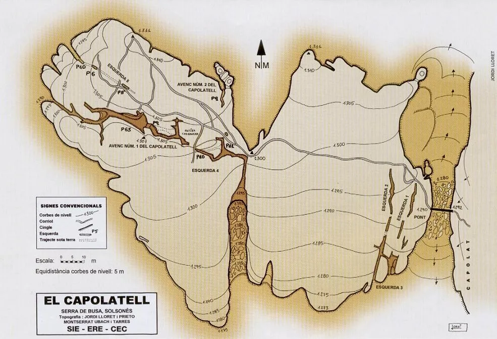
Topografia
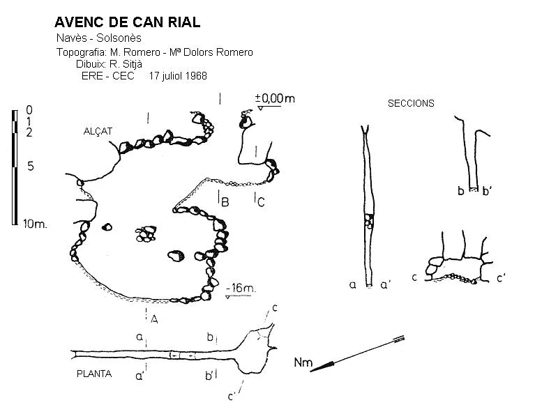
Espeleoindex · CC BY-NC 4.0, https://creativecommons.org/licenses/by-nc/4.0/ · Immagine © del suo autore.
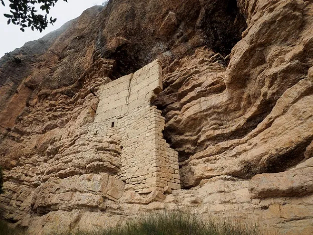
Foto
Espeleoindex · CC BY-NC 4.0, https://creativecommons.org/licenses/by-nc/4.0/ · Immagine © del suo autore.
Descrizione
Morfologia
The entrance, opened in conglomerate, has dimensions of 1.7 x 0.7 m and gives way to a 7 m pit that lands on a small cone of debris. Going south, we soon reach a small chamber of almost 3 x 3 m where we can observe the rather decomposed conglomerate rock. To the north the cavity continues on a steep slope, following a joint that gradually narrows. In it a new vertical drop forms through a narrow fissure with wedged blocks that places us at the maximum depth, -16 m. Just below the entrance there is an open fissure about 5 m long by 2 m deep (“the lower fissure”) that runs in a direction parallel to that of the cavity.
Storia
Explored by Mª Dolors and Martí Romero (ERE-CEC), on 4 July 1968.
Commenti degli utenti (0)
Nessun commento ancora.
Sii il primo a condividere la tua esperienza!
Esplorazioni registrate (0)
Nessuna esplorazione registrata.
Registra la tua visita a questa grotta!
Bibliografia
- Borràs, J.; Miñarro, JM.; Talavera, F. (1980).-”l'Urgell, el Solsonès, la Segarra i el Berguedà”. Catàleg espeleològic de Catalunya. (Vol. 5): 1-234. Ed. Políglota. Barcelona.
- Codina, Salvador.(2009).-”Avenc de Cal Rial” Corriol (152):10-11. Centre Excursionista del Solsonès.
- Romero, Martí.(1968).-”Avenc de Can Rial”. Espeleòleg (6):182-183. ERE - CE Catalunya. Barcelona.
- Valles, Jordi de (2009).- Catàleg espeleològic de Catalunya. Vol. 2: 384 pp. Espeleo Club de Gràcia / Federació Catalana d'Espeleologia. Barcelona.
- Actualització de dades, revisió de coordenades, topo 2021 i fotografies extretes del web: geb.cat (del Grup d'Espeleologia de Badalona). Apunt del 29-11-2021. Dades: Ferran Cardona (ECMB) i Josep Cuenca (GEB)
Grotte vicine


Fonte: Espeleoindex (espeleoindex.com), modificato. CC BY-NC 4.0, https://creativecommons.org/licenses/by-nc/4.0/