
Avenc d'en Brunet
A 15 m deep pit in Sant Llorenç Savall, with a 2 x 1 m entrance, shafts and galleries in a SW direction.
EspeleoWorld
Avenc d'en Brunet
A 15 m deep pit in Sant Llorenç Savall, with a 2 x 1 m entrance, shafts and galleries in a SW direction.
Sant Llorenç Savall · Vallès Occidental
Sviluppo: 35 m · Profondità: 15 m
Scheda aggiornata
https://espeleoworld.com/it/c/avenc-d-en-brunet
Le informazioni possono cambiare. Verifica sempre coordinate, accesso, meteo e condizioni della cavità prima di partire.
A 15 m deep pit in Sant Llorenç Savall, with a 2 x 1 m entrance, shafts and galleries in a SW direction.
Topografia
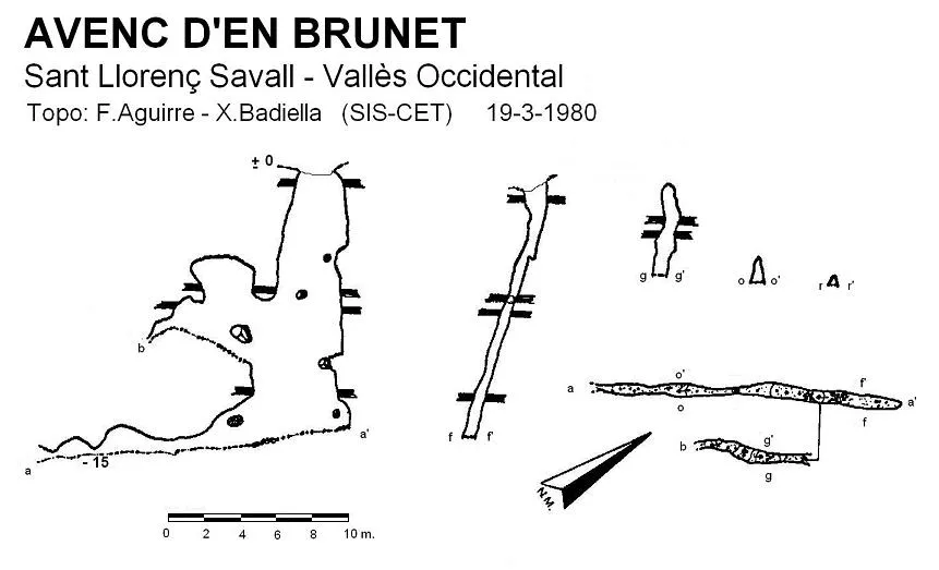

Espeleoindex · CC BY-NC 4.0, https://creativecommons.org/licenses/by-nc/4.0/ · Immagine © del suo autore.
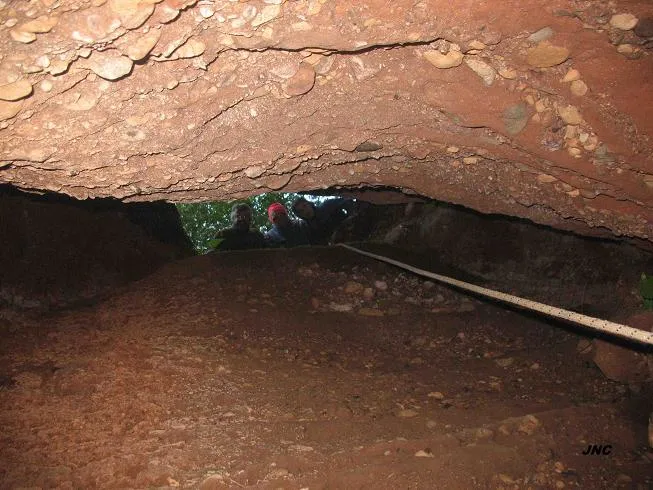
Foto

Espeleoindex · CC BY-NC 4.0, https://creativecommons.org/licenses/by-nc/4.0/ · Immagine © del suo autore.
Descrizione
Morfologia
The entrance, 2 x 1 metres, gives access to a first drop of 4 metres that leads to a ledge; from there, the pit continues through a narrow shaft 0.60 metres wide and 4 deep. At 5 metres from the ground and in a SW direction there is an ascending gallery of 6 metres. Once we have reached the bottom of the shaft, the cavity continues through a gallery in a SW direction which, after passing a first narrow passage, leads to a chamber 1.60 metres high; in the same direction and after forcing a passage, the gallery continues for a few metres until it becomes impassable.
Cavity structured on a N45E – S45O joint. The corrosive and erosion forms are notable.
Idrologia
The gallery that precedes the shaft forms a water conduit that in times of heavy rain acts as a small subterranean river.
Storia
The first exploration was carried out in the mid 1960s by members of the now-defunct GETIM (Sabadell).
Commenti degli utenti (0)
Nessun commento ancora.
Sii il primo a condividere la tua esperienza!
Esplorazioni registrate (0)
Nessuna esplorazione registrata.
Registra la tua visita a questa grotta!
Bibliografia
- Badiella, X.; Aguirre,F.; Muñoz,J.; Mota,F. (1981).- “Les cavitats del vessant Est del riu Ripoll” SIS (8): 56-70 / Arxiu del Centre Excursionista de Terrassa (23): 296-310. SIS del CET. Terrassa.
- Revisió coordenades i fotos 'JNC' facilitades per Jordi Navarro, (Centre Excursionista de Castellar del Vallès).
Grotte vicine
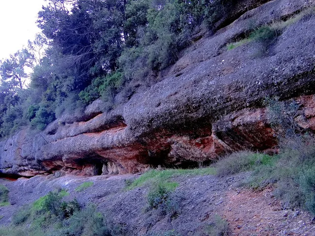
Balma de l'Aiguader de Baix
0.4 km · S
Sant Llorenç Savall (Vallès Occidental)
1 foto
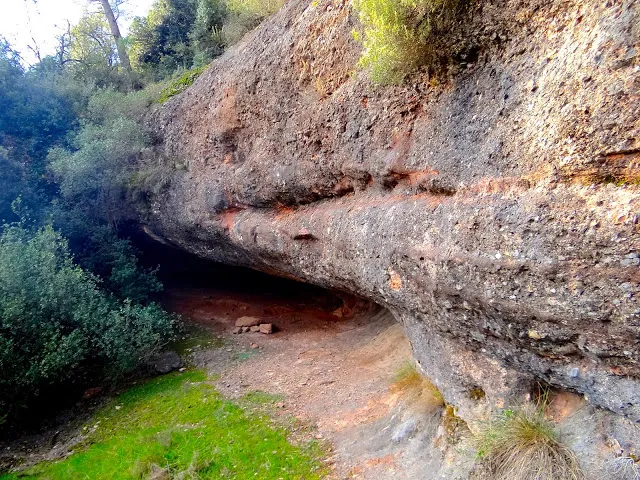
Balma de l'Aiguader de Dalt
0.6 km · S
Sant Llorenç Savall (Vallès Occidental)
1 foto
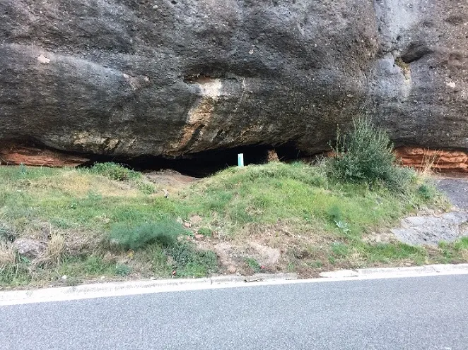
Coves d'en Carner
0.7 km · S
Castellar del Vallès (Vallès Occidental)
2 topo.8 foto
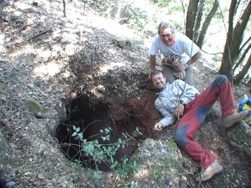
Avenc del Ramon de la Fonda
1.0 km · SE
Castellar del Vallès (Vallès Occidental)
1 topo.3 foto
Fonte: Espeleoindex (espeleoindex.com), modificato. CC BY-NC 4.0, https://creativecommons.org/licenses/by-nc/4.0/