
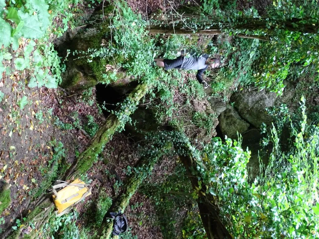
Grotta della Santa
A swallow hole with a markedly steep course that divides into two short branches, both of which end by closing into narrow fissures.
EspeleoWorld
Grotta della Santa
A swallow hole with a markedly steep course that divides into two short branches, both of which end by closing into narrow fissures.
San Lazzaro di Savena
Longueur: 27 m · Profondeur: 12.5 m
Fiche actualisée
https://espeleoworld.com/fr/c/grotta-della-santa-san-lazzaro-di-savena
Les informations peuvent changer. Vérifiez toujours les coordonnées, l'accès, la météo et l'état de la cavité avant de partir.
A swallow hole with a markedly steep course that divides into two short branches, both of which end by closing into narrow fissures.
Topographiques
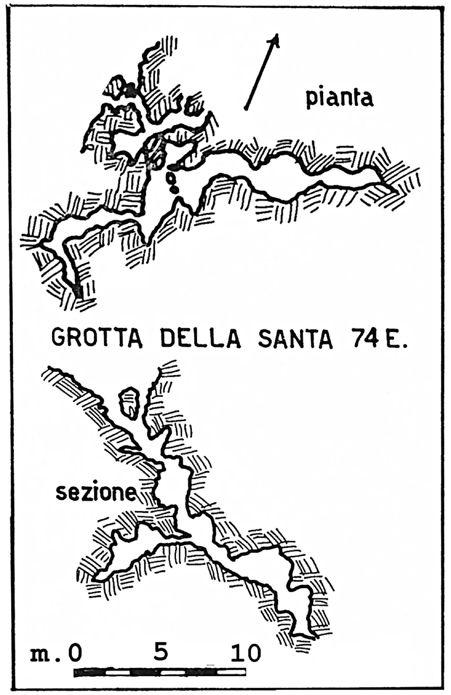

© Gruppo Speleologico Emiliano · CC BY-NC-SA 2.5 IT, https://creativecommons.org/licenses/by-nc-sa/2.5/it/ · Federazione Speleologica dell'Emilia-Romagna, http://www.fsrer.it · https://geo.regione.emilia-romagna.it/schede/speleo/index.jsp?id=74
Photos

© Gruppo Speleologico Emiliano · CC BY-NC-SA 2.5 IT, https://creativecommons.org/licenses/by-nc-sa/2.5/it/ · Federazione Speleologica dell'Emilia-Romagna, http://www.fsrer.it · https://geo.regione.emilia-romagna.it/schede/speleo/index.jsp?id=74
Description
Morphologie
The description and survey clearly define the cave as a swallow hole, whose markedly steep course divides into two short branches, both of which end by closing into narrow fissures.
Histoire
The cave was discovered and surveyed by the GSE in the early ’60s.
Commentaires des utilisateurs (0)
Aucun commentaire pour le moment.
Soyez le premier à partager votre expérience !
Explorations enregistrées (0)
Aucune exploration enregistrée pour le moment.
Enregistrez votre visite dans cette cavité !
Grottes à proximité
Grotticella Greenpepper
0.1 km · SE
San Lazzaro di Savena
1 topo.1 photos
Grotticella dell'Intelligenza ad Est della 878
0.1 km · S
San Lazzaro di Savena
1 topo.1 photos
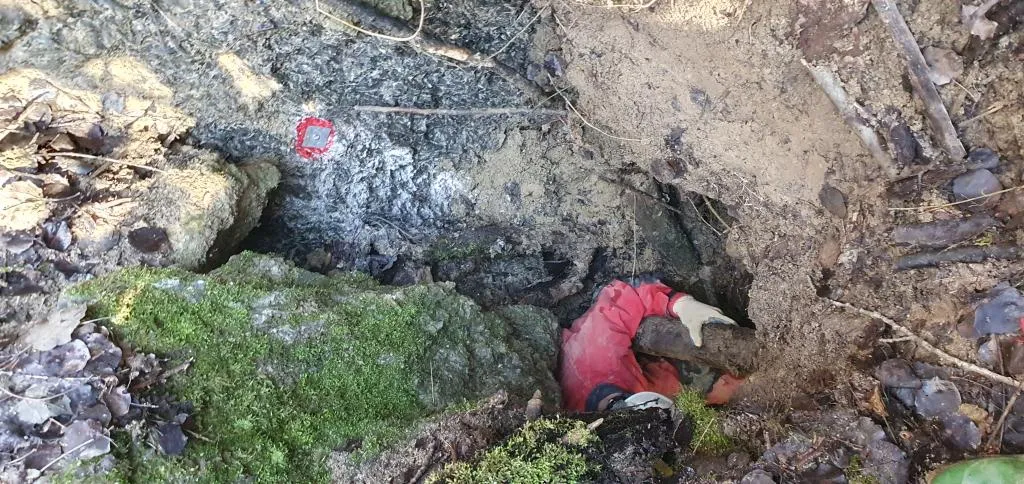
Inghiottitoio di Fondo Dolina di Goibola
0.1 km · O
San Lazzaro di Savena
1 topo.1 photos
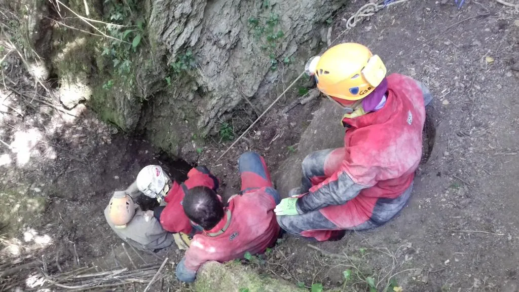
Buca delle Mani Cucite
0.2 km · NO
San Lazzaro di Savena
1 topo.1 photos
Source : Catasto delle cavità naturali dell'Emilia-Romagna (Regione Emilia-Romagna, Federazione Speleologica Regionale dell'Emilia-Romagna) (servizigis.regione.emilia-romagna.it), avec modifications. CC BY 4.0, https://creativecommons.org/licenses/by/4.0/ Regione Emilia-Romagna, Catasto delle cavità naturali dell'Emilia-Romagna, Federazione Speleologica Regionale dell'Emilia-Romagna (FSRER) e i gruppi speleologici autori dei rilievi · données de 2018 · Source : Catasto delle cavità naturali dell'Emilia-Romagna (Regione Emilia-Romagna, Federazione Speleologica Regionale dell'Emilia-Romagna) (servizigis.regione.emilia-romagna.it), avec modifications. CC BY-NC-SA 2.5 IT, https://creativecommons.org/licenses/by-nc-sa/2.5/it/ Federazione Speleologica dell'Emilia-Romagna, http://www.fsrer.it · Regione Emilia-Romagna, Catasto delle cavità naturali dell'Emilia-Romagna, e i gruppi speleologici autori dei rilievi · données de 2018