
Cova de la Coma d'olla
A small cave below the puig de Coma d'Olla (Ripollès), known since long ago and catalogued in 2022 by Ferran Cardona and Carme Bañolas.
EspeleoWorld
Cova de la Coma d'olla
A small cave below the puig de Coma d'Olla (Ripollès), known since long ago and catalogued in 2022 by Ferran Cardona and Carme Bañolas.
Ogassa · Ripollès
Longueur: 39 m
Fiche actualisée
https://espeleoworld.com/fr/c/cova-de-la-coma-d-olla
Les informations peuvent changer. Vérifiez toujours les coordonnées, l'accès, la météo et l'état de la cavité avant de partir.
A small cave below the puig de Coma d'Olla (Ripollès), known since long ago and catalogued in 2022 by Ferran Cardona and Carme Bañolas.
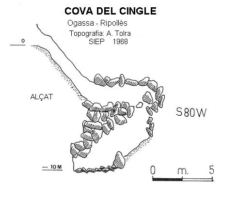
Topographiques
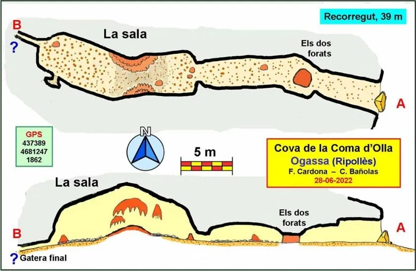
Espeleoindex · CC BY-NC 4.0, https://creativecommons.org/licenses/by-nc/4.0/ · Image © son auteur.
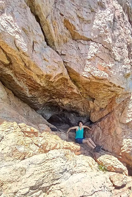
Photos
Espeleoindex · CC BY-NC 4.0, https://creativecommons.org/licenses/by-nc/4.0/ · Image © son auteur.
Description
Morphologie
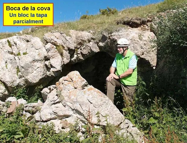
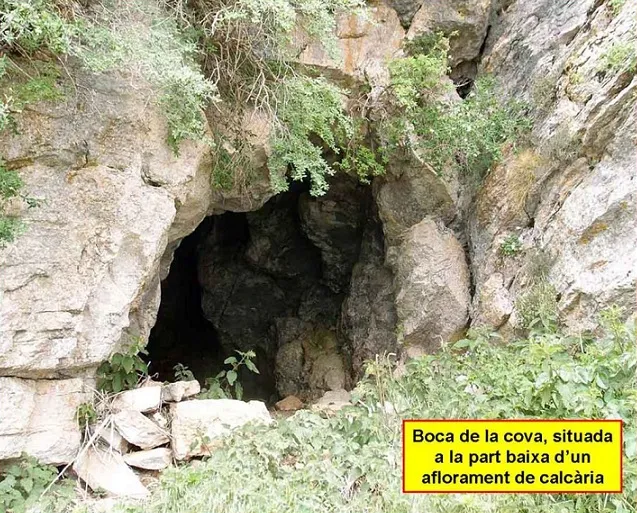
The entrance, in the shape of an arch, is about 3 m wide by about 2 m high, having just in front of it a large block that partially covers it. After the first metres the ceiling lowers at a point where there is also a concretion in the centre that we must pass either on the right or on the left while crawling (“els dos forats”).
On the other side the gallery continues with a stony floor and after a new narrowness we enter the largest part of the cave, a hall 15 m long, 4 m wide and a height that exceeds 4 m. At the terminal end a crawlway opens that narrows until it becomes impracticable.
Spéléothèmes
We observe some beautiful formations in its central sector.
Progression
After the first metres the ceiling lowers at a point where there is also a concretion in the centre that we must pass either on the right or on the left while crawling (“els dos forats”).
Histoire
Known for a long time by excursionists and it appears marked on the map of Editorial Alpina at least since the 1976 edition.
In the Catàleg Espeleològic de Catalunya of 1980 and also in that of 2009 a review of the cavity appears, practically without data and mentioning that some hypothetical first explorers had commented that it was a cave of little importance.
It is not until the end of June 2022 that Ferran Cardona and Carme Bañolas (Espeleo Club Muntanyenc Barcelonès) are able to locate the cavity and carry out a complete cataloguing work.
In the aforementioned catalogues a comment is made that a cavity cited in 1936 as Cova de les Monges in the serra de les Pigotoses ? and covered by shepherds, could be this one of Coma d'Olla. Our colleague Cardona states that in no case can it be the same cavity, since the Pigotoses are at a great distance to the east of Coma d'Olla.
Commentaires des utilisateurs (0)
Aucun commentaire pour le moment.
Soyez le premier à partager votre expérience !
Explorations enregistrées (0)
Aucune exploration enregistrée pour le moment.
Enregistrez votre visite dans cette cavité !
Bibliographie
- Borrás,J.; Miñarro,JM;Talavera,F.(1980).-”el Ripollès, la Garrotxa i l'Alt Empordà”. Catàleg Espeleològic de Catalunya (vol 4):1-296. Políglota. Barcelona.
- Valles, Jordi de (2009).-”Berguedà, Cerdanya, Garrotxa, Ripollès”. Catàleg Espeleològic de Catalunya (vol.3):1-381. ECG/FCE.
- Totes les dades, topografia i fotografies han estat extretes del web: geb.cat del Grup d'Espeleologia de Badalona). Apunt del 11-7-2022. Dades: Ferran Cardona i Carme Bañolas (ECM Barcelonès)
Grottes à proximité
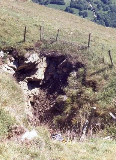


Source : Espeleoindex (espeleoindex.com), avec modifications. CC BY-NC 4.0, https://creativecommons.org/licenses/by-nc/4.0/