
Pou de les Gralles
Avenc de 35 metres de fondària a Les Valls d'Aguilar
EspeleoWorld
Pou de les Gralles
Avenc de 35 metres de fondària a Les Valls d'Aguilar
Valls d'Aguilar, Les · Alt Urgell
Length: 55 m · Depth: 35 m
Updated record
https://espeleoworld.com/en/c/pou-de-les-gralles
Information can change. Always verify coordinates, access, weather, and cave conditions before setting out.
A 35-metre-deep pit in Les Valls d'Aguilar, between Castellàs and Espaén, on the right bank of the riu de Castellàs.
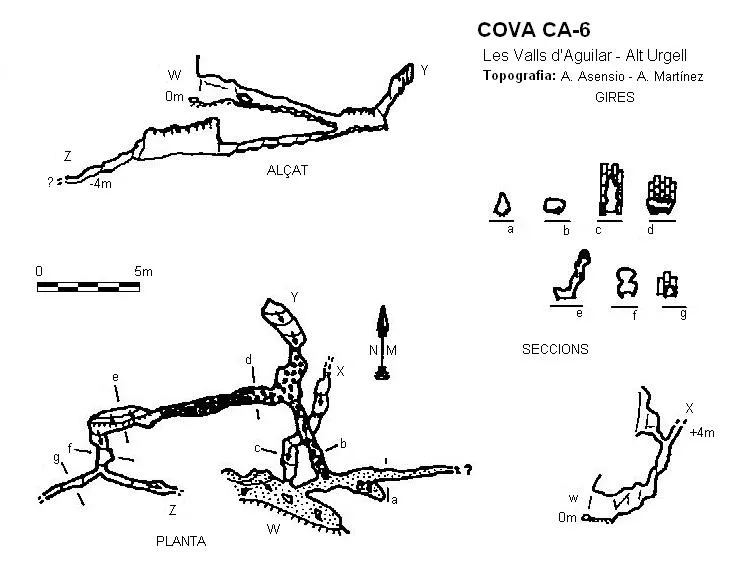
Topographic
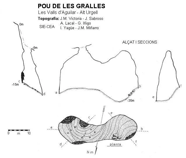
Espeleoindex · CC BY-NC 4.0, https://creativecommons.org/licenses/by-nc/4.0/ · Image © its author.
Description
Morphology
From the lower end of the entrance (-8 m) one descends into a wide 17-metre-deep shaft, which leads to a chamber about 35 metres long, where, among the rubble, the point of maximum depth is reached.
History
The first exploration of which we have record of this cavity was carried out in 1973 by the SIE del CE Àliga.
User Comments (0)
No comments yet.
Be the first to share your experience!
Registered Explorations (0)
No explorations registered yet.
Register your visit to this cave!
Bibliography
- Borras,J.;Miñarro,JM.;Talavera,F.(1978).-Catàleg Espeleològic de Catalunya (Vol. 1):17-107. ed. Políglota. Barcelona.
Nearby caves
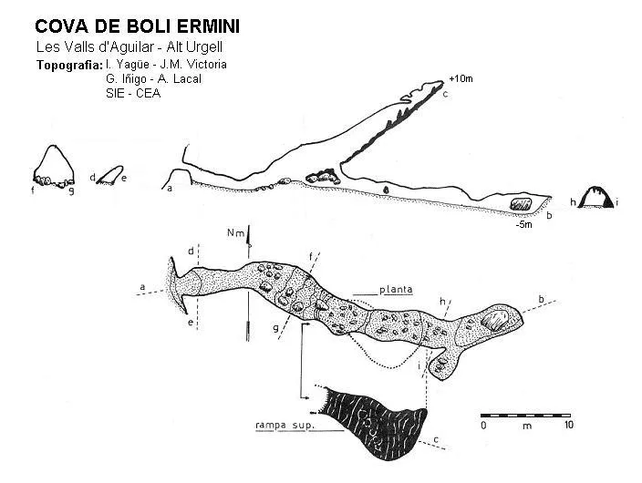
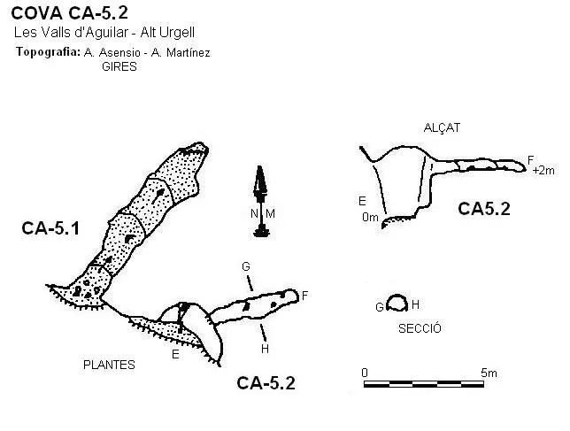
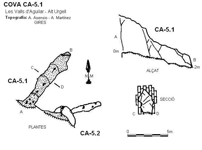

Source: Espeleoindex (espeleoindex.com), modified. CC BY-NC 4.0, https://creativecommons.org/licenses/by-nc/4.0/