
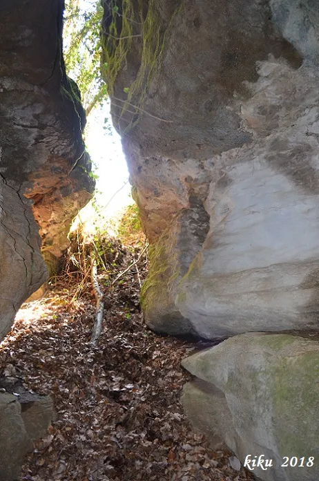
Forat dels Trabucaires
A 7-metre-deep pit in the Far area (Susqueda), formed by a tectonic fracture.
EspeleoWorld
Forat dels Trabucaires
A 7-metre-deep pit in the Far area (Susqueda), formed by a tectonic fracture.
Susqueda · Selva
Length: 32 m · Depth: 7 m
Updated record
https://espeleoworld.com/en/c/forat-dels-trabucaires
Information can change. Always verify coordinates, access, weather, and cave conditions before setting out.
A 7-metre-deep pit in the Far area (Susqueda), formed by a tectonic fracture.
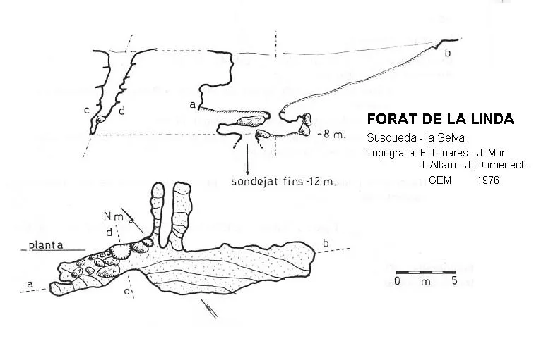
Topographic
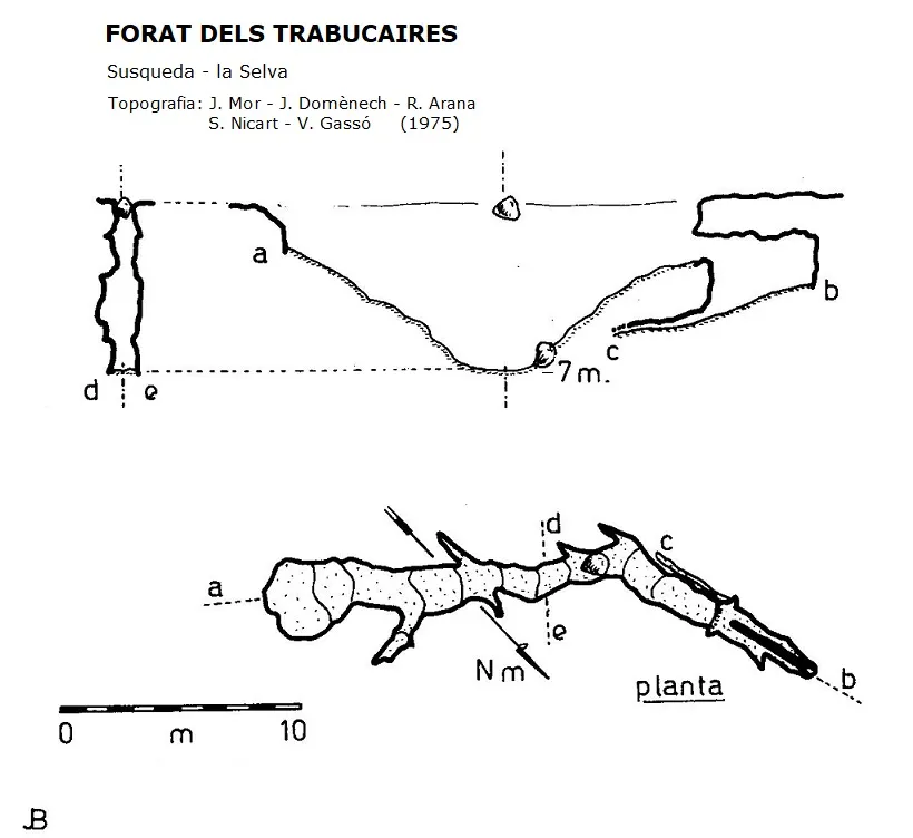
Espeleoindex · CC BY-NC 4.0, https://creativecommons.org/licenses/by-nc/4.0/ · Image © its author.
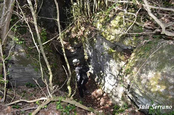
Photos
Espeleoindex · CC BY-NC 4.0, https://creativecommons.org/licenses/by-nc/4.0/ · Image © its author.
Description
Morphology
Formed by a long tectonic fracture, whose base slopes towards its central point, located at -7 metres. On the N side, it connects with a small shaft followed by a lower crawlway, developed beneath the fissure.
History
The first exploration of which we have a record was carried out in 1975 by the Grup Espeleològic de Mollet.
User Comments (0)
No comments yet.
Be the first to share your experience!
Registered Explorations (0)
No explorations registered yet.
Register your visit to this cave!
Bibliography
- Borràs, J;Miñarro, JM; Talavera, F.(1982).-”el Baix Empordà, el Gironès, la Selva,l'Osona, el Vallès oriental i el Maresme.” Catàleg Espeleològic de Catalunya (vol.6):144-146. Ed Políglota. Barcelona.
- Valles, Jordi de (2010).-”Alt Empordà, Baix Empordà, Gironès, Osona, Pla 0de l'Estany, Selva”. Catàleg Espeleològic de Catalunya (vol.4):385-386. ECG/FCE.
- Coordenades, situació, fotografies i dades, facilitades per Juli Serrano (SIE – CEA) i Francesc Rubinat (ERE – CEC).
Nearby caves


Source: Espeleoindex (espeleoindex.com), modified. CC BY-NC 4.0, https://creativecommons.org/licenses/by-nc/4.0/