

Cova del Gall
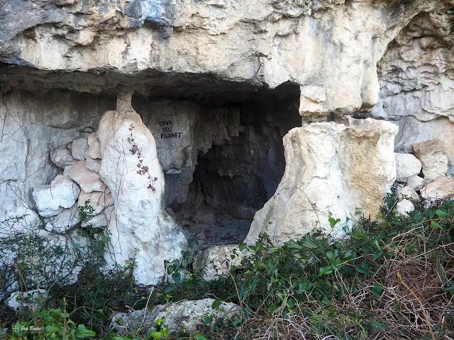
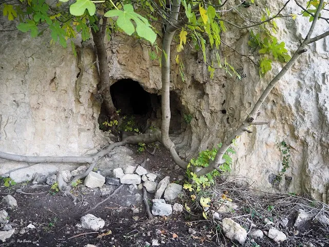
Small rock shelter on the NW of the Torreta del Montsià, at the top of the barranc del Mas del Comú, which served as shelter for livestock.
EspeleoWorld
Cova del Gall
Small rock shelter on the NW of the Torreta del Montsià, at the top of the barranc del Mas del Comú, which served as shelter for livestock.
Ulldecona · Montsià
Length: 10 m
Updated record
https://espeleoworld.com/en/c/cova-del-gall
Information can change. Always verify coordinates, access, weather, and cave conditions before setting out.
Small rock shelter on the NW of the Torreta del Montsià, at the top of the barranc del Mas del Comú, which served as shelter for livestock.
Photos
Espeleoindex · CC BY-NC 4.0, https://creativecommons.org/licenses/by-nc/4.0/ · Image © its author.
Description
Morphology
Small rock shelter surrounded by a dry-stone wall.
Progression
No survey is available.
Other details
It served as shelter for livestock. (see photograph).
History
Known since ancient times.
User Comments (0)
No comments yet.
Be the first to share your experience!
Registered Explorations (1)

Exploration date: August 8, 2025
Desconeguda per a mí, prou bonica i espaciosa. Moltes senyals d'ocupació humana.
Bibliography
- Les poques referències que tenim i la fotografia, han estat extretes del blog: senderes.blogspot (de Pep Badia, la Ràpita), dins d'un itinerari excursionista a l'apunt del 30-9-2017.
Nearby caves



Source: Espeleoindex (espeleoindex.com), modified. CC BY-NC 4.0, https://creativecommons.org/licenses/by-nc/4.0/