
Cova de la Codolosa
Balma habilitada antigament com arnera, al municipi de Collbató
EspeleoWorld
Cova de la Codolosa
Balma habilitada antigament com arnera, al municipi de Collbató
Collbató · Baix Llobregat
Length: 18 m · Depth: 1 m
Updated record
https://espeleoworld.com/en/c/cova-de-la-codolosa
Information can change. Always verify coordinates, access, weather, and cave conditions before setting out.
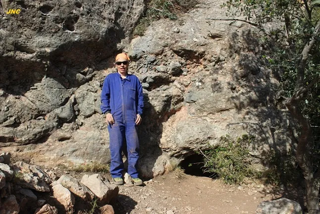
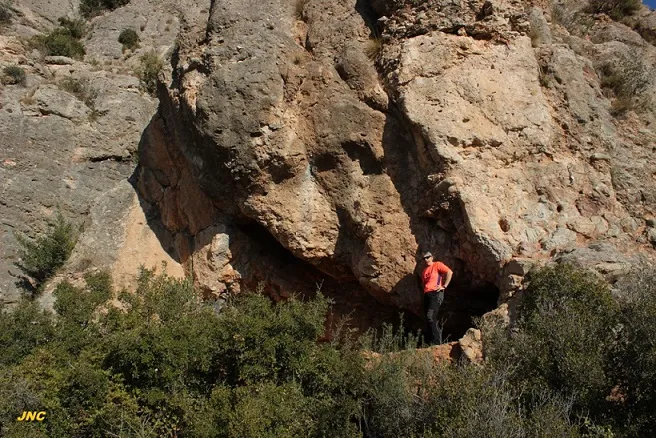
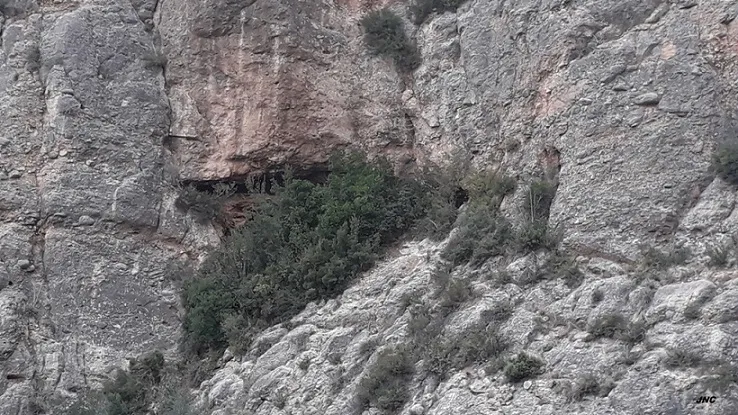
A rock shelter about 18 metres wide and 2-3 metres high in Collbató, formerly a beehive shelter, with a partially demolished wall, an archaeological test pit and a gallery with a water deposit.
Topographic

Espeleoindex · CC BY-NC 4.0, https://creativecommons.org/licenses/by-nc/4.0/ · Image © its author.
Photos

Espeleoindex · CC BY-NC 4.0, https://creativecommons.org/licenses/by-nc/4.0/ · Image © its author.
Description
Morphology
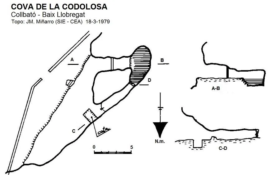
Rock shelter about 18 metres wide and about 2-3 metres high, walled up by an artificial wall partially demolished. The floor is dusty and among the sediments an archaeological test pit of a little more than 1 metres deep has been excavated. On the South wall there is a short gallery with a partition that leads to a water deposit.
Hydrology
On the South wall there is a short gallery with a partition that leads to a water deposit.
Other details
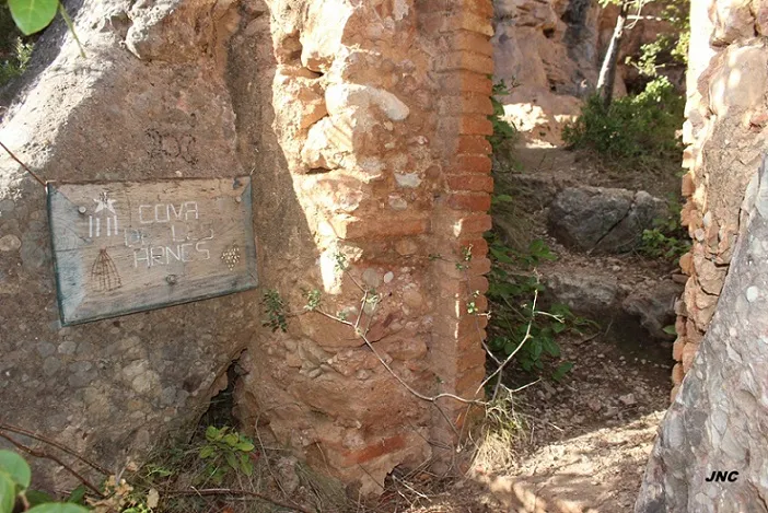
Rock shelter formerly fitted out as a beehive shelter. Many years ago it had been used for forestry, hence it is also known as Cova de les Arnes.
History
Cavity known since time immemorial and mentioned in all the speleological catalogues of Montserrat. It had never been the subject of a documented record. The first survey we know of is the one carried out by members of the GE Pedraforca in April 1972 and until now unpublished.
User Comments (0)
No comments yet.
Be the first to share your experience!
Registered Explorations (0)
No explorations registered yet.
Register your visit to this cave!
Bibliography
- Dades inèdites arxiu JM. Miñarro
- Topografia inèdita arxiu GE Pedraforca
- Revisió coordenades i fotografies facilitades per Jordi Navarro (Centre Excursionista de Castellar del Vallès) (març 2022)
Nearby caves
Forat de l'Alba
0.1 km · W
Collbató (Baix Llobregat)
1 topo.4 photos
Cova Fòssil Nº1 del Xacó
0.1 km · NE
Collbató (Baix Llobregat)
1 topo.3 photos
Cova Fòssil Nº2 del Xacó
0.1 km · NE
Collbató (Baix Llobregat)
1 topo.3 photos
Cova Fòssil Nº3 del Xacó
0.1 km · NE
Collbató (Baix Llobregat)
2 topo.5 photos
Source: Espeleoindex (espeleoindex.com), modified. CC BY-NC 4.0, https://creativecommons.org/licenses/by-nc/4.0/