
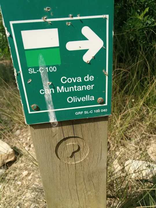
Cova de Can Muntaner
Small cave with a 21 m route at the Begues stream (Olivella), with a large entrance mouth and a closed gallery.
EspeleoWorld
Cova de Can Muntaner
Small cave with a 21 m route at the Begues stream (Olivella), with a large entrance mouth and a closed gallery.
Olivella · Garraf
Length: 21 m · Depth: 4 m
Updated record
https://espeleoworld.com/en/c/cova-de-can-muntaner
Information can change. Always verify coordinates, access, weather, and cave conditions before setting out.
Small cave with a 21 m route at the Begues stream (Olivella), with a large entrance mouth and a closed gallery.
Topographic
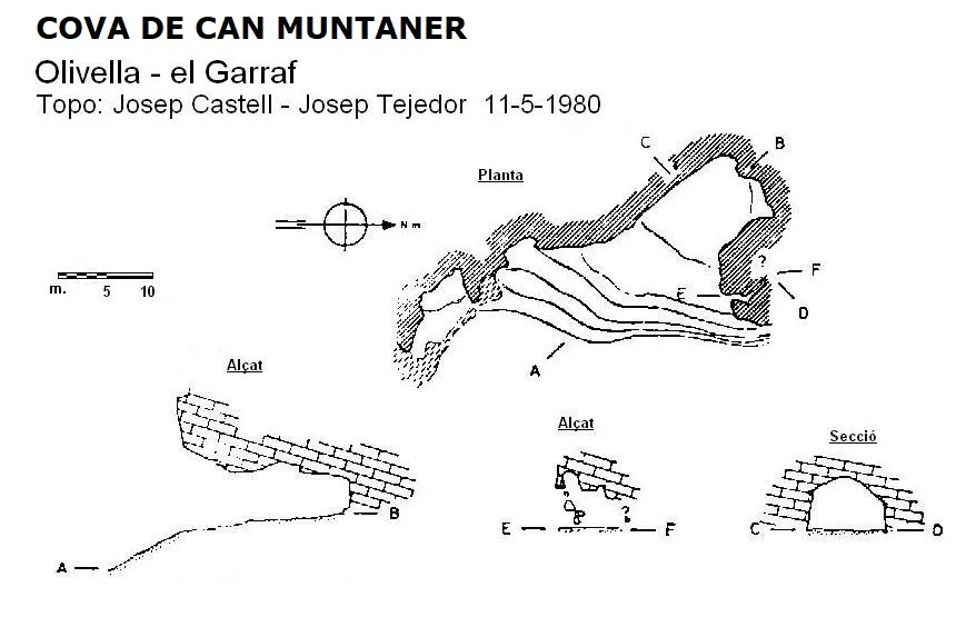
Espeleoindex · CC BY-NC 4.0, https://creativecommons.org/licenses/by-nc/4.0/ · Image © its author.
Photos
Espeleoindex · CC BY-NC 4.0, https://creativecommons.org/licenses/by-nc/4.0/ · Image © its author.
Description
Morphology
Large entrance mouth (8.75 metres high by 19 metres wide) that begins as an ascending ramp a gallery 19 metres long that remains completely closed. On the right side of the same entrance there is a small gallery of just over 2 metres, narrow and obstructed by blocks.
History
Known since ancient times. The only data known are those published by members of the Museu Víctor Balaguer (Vilanova i la Geltrú) who explored it in May 1980.
User Comments (0)
No comments yet.
Be the first to share your experience!
Registered Explorations (0)
No explorations registered yet.
Register your visit to this cave!
Bibliography
- Castell, J.; Tejedor,J. (1981).- “Cadastre Espeleològic de la comarca del Garraf” (1ª part). Butll. de la Biblioteca Museu Víctor Balaguer (6èna època): 169-204. Vilanova i la Geltrú.
- Revisió de situació, coordenades i fotografies aportades per Andreu Beguerie i Martí Romero (ERE-CEC)
Nearby caves


Source: Espeleoindex (espeleoindex.com), modified. CC BY-NC 4.0, https://creativecommons.org/licenses/by-nc/4.0/