
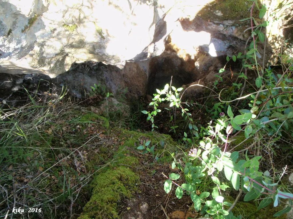
Cau de les Raimeres
Avenc de 13 metres de desnivell prop de l'Escala, (Torroella de Montgrí).
EspeleoWorld
Cau de les Raimeres
Avenc de 13 metres de desnivell prop de l'Escala, (Torroella de Montgrí).
Torroella de Montgrí · Baix Empordà
Length: 38 m · Depth: 13 m
Updated record
https://espeleoworld.com/en/c/cau-de-les-raimeres
Information can change. Always verify coordinates, access, weather, and cave conditions before setting out.
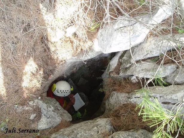
A 13-metre-deep pit near l'Escala, in Torroella de Montgrí, known as the Cau de les Raimeres.
Topographic
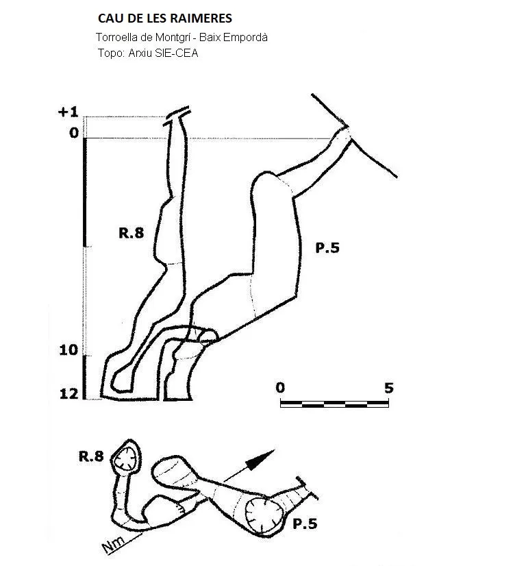

Espeleoindex · CC BY-NC 4.0, https://creativecommons.org/licenses/by-nc/4.0/ · Image © its author.
Photos

Espeleoindex · CC BY-NC 4.0, https://creativecommons.org/licenses/by-nc/4.0/ · Image © its author.
Description
Morphology
A steep ramp leads us into a pit more than one metre in diameter and 5 metres deep. A strongly inclined ramp follows, ending at -12 metres. About 3 metres before the end and on the left, a crawlway leads to a new narrow drop of 3 metres, from where a narrow 8-metre chimney with steps can be climbed, until we reach a level of +1 metre above the entrance mouth. The total depth is 13 metres (-12/+1).
History
The Cau de les Raimeres has long been known to the people of the area. In the report of the campaign carried out by the SIE del CEA in 2007, the Cau de les Raimeres does not appear.
Later, in vol.4 of the Catàleg Espeleològic de Catalunya (2010), the Cau de les Raimeres is published with data provided from the SIE archive of the CEA, where it is located with coordinates that differ from those of the Cau de la Serp by less than 10 metres.
Curiously, in Narcís Arbusé's book el Montgrí pas a pas there is a map on which the cau de la Serp is also located in the same place.
Fortunately, our colleague Juli Serrano (SIE-CEA), one day when he was searching for the Cau de la Serp, met Narcís Arbusé; he accompanied him to the place where the cavity is found, confirming that it is another cavity located quite far from the place where it was located.
User Comments (0)
No comments yet.
Be the first to share your experience!
Registered Explorations (0)
No explorations registered yet.
Register your visit to this cave!
Bibliography
- Arbusé i Bellapart, Narcís.(2005).-El Montgrí pas a pas. pp:174 Cossetània edicions. Valls.
- Valles, Jordi de.(2010).-”Alt Empordà, Baix Empordà, Gironès, Osona, Pla de l'Estany, Selva”. Catàleg Espeleològic de Catalunya (vol.4):174 i 188. ECG/FCE.
- SIE-CEA, Memòria Montgrí 2007.
- Dades actualitzades el novembre de 2017 per Juli Serrano i Francesc Rubinat.
Nearby caves
Cau del Còrrec de les Guilles
0.3 km · N
Torroella de Montgrí (Baix Empordà)
1 topo.2 photos
Avenc Sense Nom
0.4 km · NE
Torroella de Montgrí (Baix Empordà)
1 topo.5 photos
Cau Sense Nom
0.4 km · NE
Torroella de Montgrí (Baix Empordà)
1 topo.3 photos
Cau de la Serp
0.8 km · SW
Torroella de Montgrí (Baix Empordà)
1 topo.6 photos
Source: Espeleoindex (espeleoindex.com), modified. CC BY-NC 4.0, https://creativecommons.org/licenses/by-nc/4.0/