
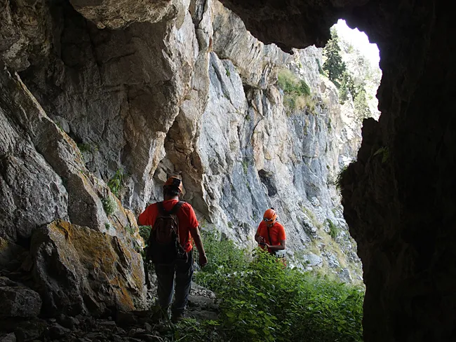
Bauma Gran de Coma Oriola
Large shelter about 8 m deep at Coma Oriola (la Masella, Cerdanya), explored and catalogued on 16 July 2015.
EspeleoWorld
Bauma Gran de Coma Oriola
Large shelter about 8 m deep at Coma Oriola (la Masella, Cerdanya), explored and catalogued on 16 July 2015.
Urús · Cerdanya
Length: 8 m
Updated record
https://espeleoworld.com/en/c/bauma-gran-de-coma-oriola
Information can change. Always verify coordinates, access, weather, and cave conditions before setting out.
Large shelter about 8 m deep at Coma Oriola (la Masella, Cerdanya), explored and catalogued on 16 July 2015.
Topographic
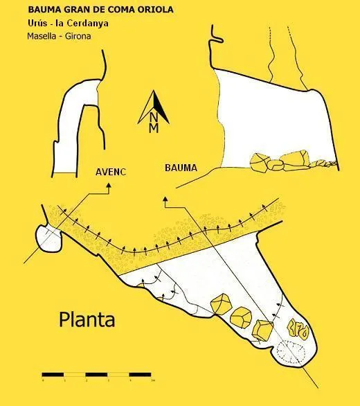
Espeleoindex · CC BY-NC 4.0, https://creativecommons.org/licenses/by-nc/4.0/ · Image © its author.
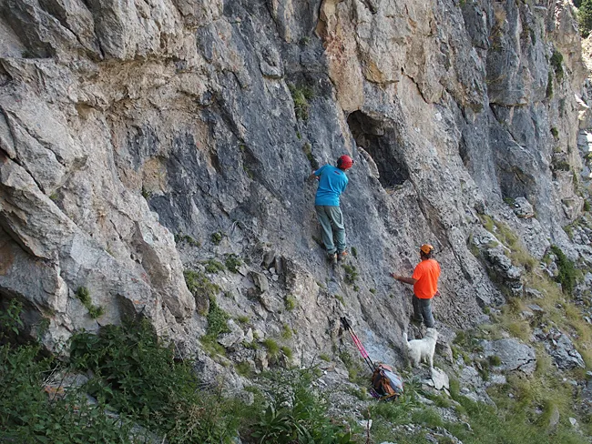
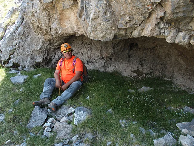
Photos
Espeleoindex · CC BY-NC 4.0, https://creativecommons.org/licenses/by-nc/4.0/ · Image © its author.
Description
Morphology
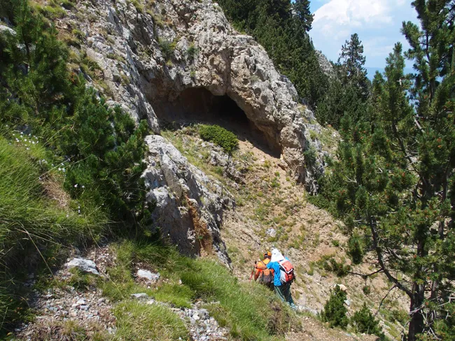
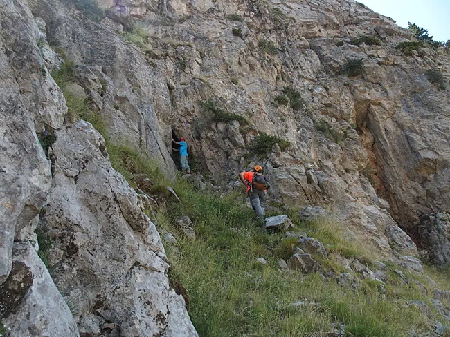
Large shelter about 8 metres wide, 4 high and almost 8 metres deep. In the ceiling of the end of the concavity a chimney originates that rises at least a couple of metres.
All the caves and cracks located in the area are residual cavities, probably vestiges of other climatic circumstances. It is undeniable that the valley bears the imprint of a glacial past, and even today the function of ice widening the fracturing structure is responsible for small cavities and for the great extent of these fragmentation screes.
Other details
The original physiognomy of the Coma Oriola (according to the ICGC: Comaoriola), has been profoundly altered by the imprint of the ski station, since a piste runs through this valley.
In summer and therefore out of season, the excavators, concrete mixers, etc. have extraordinarily transformed the bed of the basin, widening it and modifying its margins, causing original vegetation and soils to disappear, burying channels...
History
Although some of the cavities had certainly been observed by skiers and mountaineers who pass through the area, they had never been the object of speleologists until on 16 July 2015, members of the grup de l'espeleodijous proceeded to the exploration, study and cataloguing of a good number of cavities in the area.
User Comments (0)
No comments yet.
Be the first to share your experience!
Registered Explorations (0)
No explorations registered yet.
Register your visit to this cave!
Bibliography
- Totes les dades, topografies i fotografies han estat extretes del blog: espeleobloc.blogspot (Apunts dels dies 30 i 31-7-2015). Les coordenades han estat facilitades pel mateix equip de l'Espeleodijous.
Nearby caves


Source: Espeleoindex (espeleoindex.com), modified. CC BY-NC 4.0, https://creativecommons.org/licenses/by-nc/4.0/