
Bauma de Comamorera
Àmplia balma vora el Salt de Sallent (Capolat, Berguedà)
EspeleoWorld
Bauma de Comamorera
Àmplia balma vora el Salt de Sallent (Capolat, Berguedà)
Capolat · Berguedà
Length: 14 m
Updated record
https://espeleoworld.com/en/c/bauma-de-comamorera
Information can change. Always verify coordinates, access, weather, and cave conditions before setting out.
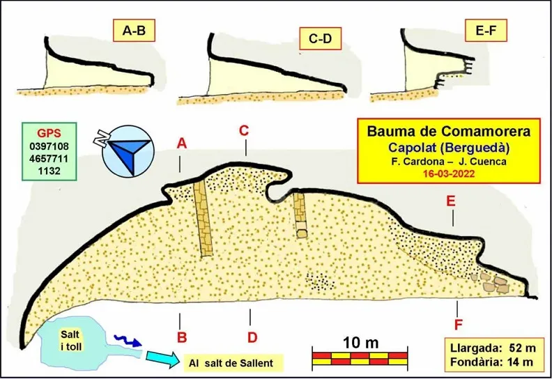
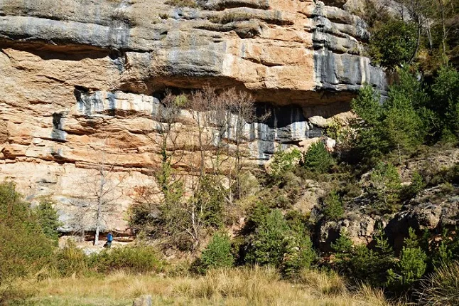
A 52 m long and 14 m deep rock shelter near the Salt de Sallent, in the Berguedà, between Capolat and l’Espunyola, used as a livestock pen.
Topographic
Espeleoindex · CC BY-NC 4.0, https://creativecommons.org/licenses/by-nc/4.0/ · Image © its author.
Photos
Espeleoindex · CC BY-NC 4.0, https://creativecommons.org/licenses/by-nc/4.0/ · Image © its author.
Description
Morphology
A beautiful rock shelter 52 m long with a depth of 14 m situated beneath a stratum of conglomerate. The floor is very flat, totally occupied by sheep droppings that are not recent. The ceiling, very regular, descends as we go deeper. We could say that the average height of the rock shelter is around 2 m.
Inside the rock shelter there are two transverse stone walls that divide it into three chambers.
Hydrology
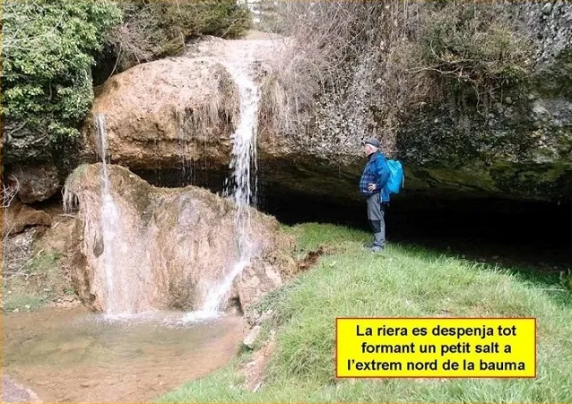
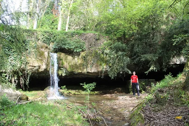
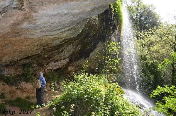
Just at its northern terminal end the water of the stream plunges down, forming a small waterfall and pool.
History
The rock shelter has been used as a livestock pen until not too distant times. For this purpose, it is surrounded by a metal mesh fence in order to keep and shelter the livestock. In fact, the whole floor is occupied by a notable thickness of sheep droppings that are not recent. A few metres above the rock shelter there is an abandoned “roulotte” that served as the shepherd’s refuge.
The place name “Bauma de Comamorera” appears labelled on the Editorial Alpina map “Rasos de Peguera”. Even so, the cavity does not appear in any speleological catalogue despite having quite important dimensions.
User Comments (0)
No comments yet.
Be the first to share your experience!
Registered Explorations (0)
No explorations registered yet.
Register your visit to this cave!
Bibliography
- Totes les dades, topografia i fotografies han estat extretes del web: geb.cat (del Grup d'Espeleologia de Badalona). Apunt del 28-3-2022. Dades: Ferran Cardona (ECMB) i Josep Cuenca (GEB)
Nearby caves


Source: Espeleoindex (espeleoindex.com), modified. CC BY-NC 4.0, https://creativecommons.org/licenses/by-nc/4.0/