
Bauma Cd-1 del Coll de Deogràcies
A 21-metre-long rock shelter in Guardiola de Berguedà, with a final elevation change of +8 metres.
EspeleoWorld
Bauma Cd-1 del Coll de Deogràcies
A 21-metre-long rock shelter in Guardiola de Berguedà, with a final elevation change of +8 metres.
Guardiola de Berguedà · Berguedà
Length: 21 m · Depth: 8 m
Updated record
https://espeleoworld.com/en/c/bauma-cd-1-del-coll-de-deogracies
Information can change. Always verify coordinates, access, weather, and cave conditions before setting out.
A 21-metre-long rock shelter in Guardiola de Berguedà, with a final elevation change of +8 metres.
Topographic
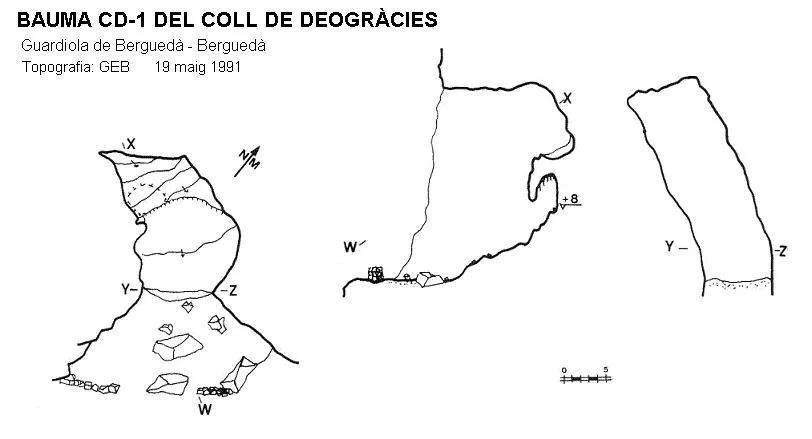

Espeleoindex · CC BY-NC 4.0, https://creativecommons.org/licenses/by-nc/4.0/ · Image © its author.
Description
Morphology
It is a rock shelter with a length of 21 metres and an elevation change at the final part of +8 metres.
History
The first exploration was carried out on 19 May 1991 by the Grup Espeleològic de Badalona.
User Comments (0)
No comments yet.
Be the first to share your experience!
Registered Explorations (0)
No explorations registered yet.
Register your visit to this cave!
Bibliography
- Porcel Caro, Enric.(1997).-”Prospeccions efectuades al Moixerò i Tossa d'Alp durant 1991-1992 (Berguedà i Cerdanya). Cavernes (24):51-59. GE Badalona.
- Valles, Jordi de.(2009).-”Berguedà, Cerdanya, Garrotxa, Ripollès” Catàleg Espeleològic de Catalunya (vol.3):1-381. EC Gràcia-FCE.
Nearby caves
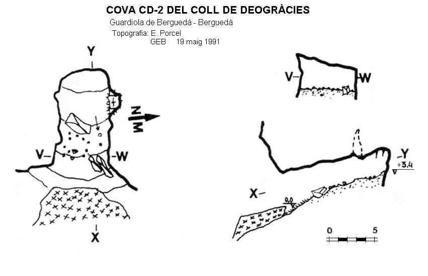
Cova Cd-2 del Coll de Deogràcies
0.1 km · NE
Guardiola de Berguedà (Berguedà)
1 topo.
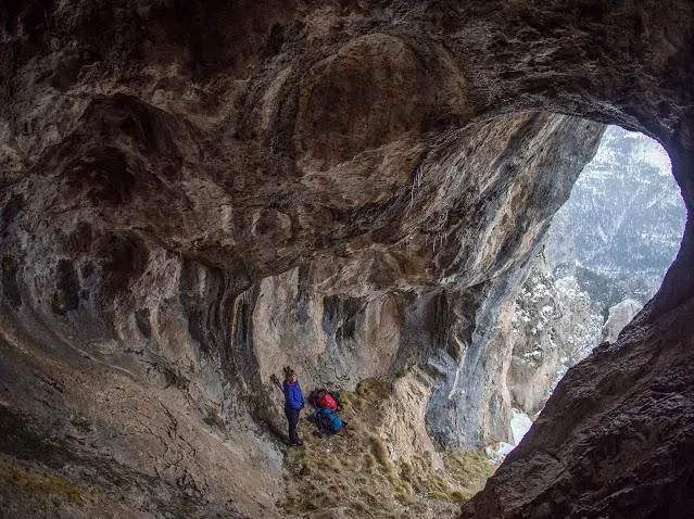
Bauma Rc-1 del Roquer del Claper
0.2 km · W
Guardiola de Berguedà (Berguedà)
1 topo.2 photos
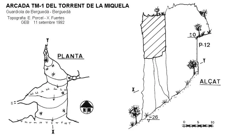
Arcada Tm-1 del Torrent de la Miquela
0.4 km · SW
Guardiola de Berguedà (Berguedà)
1 topo.
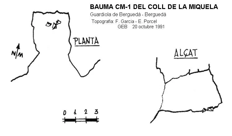
Bauma Cm-1 del Coll de la Miquela
0.4 km · W
Guardiola de Berguedà (Berguedà)
1 topo.
Source: Espeleoindex (espeleoindex.com), modified. CC BY-NC 4.0, https://creativecommons.org/licenses/by-nc/4.0/