
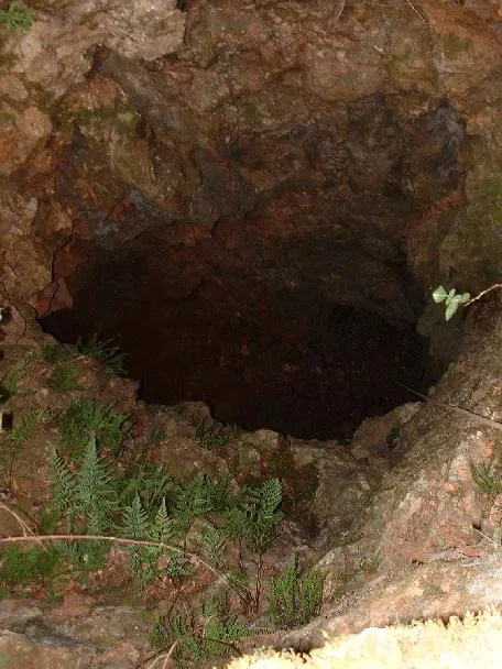
Avenc dels Azimuts
A pit with a 13-metre drop in the municipality of Cervelló, in the Clot del Cocó, formerly used as a sparry calcite quarry.
EspeleoWorld
Avenc dels Azimuts
A pit with a 13-metre drop in the municipality of Cervelló, in the Clot del Cocó, formerly used as a sparry calcite quarry.
Cervelló · Baix Llobregat
Length: 28 m · Depth: 13 m
Updated record
https://espeleoworld.com/en/c/avenc-dels-azimuts
Information can change. Always verify coordinates, access, weather, and cave conditions before setting out.
A pit with a 13-metre drop in the municipality of Cervelló, in the Clot del Cocó, formerly used as a sparry calcite quarry.
Topographic
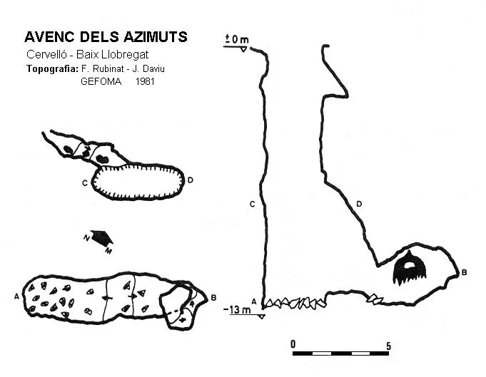
Espeleoindex · CC BY-NC 4.0, https://creativecommons.org/licenses/by-nc/4.0/ · Image © its author.
Photos
Espeleoindex · CC BY-NC 4.0, https://creativecommons.org/licenses/by-nc/4.0/ · Image © its author.
Description
Morphology
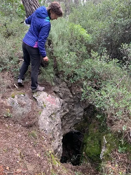
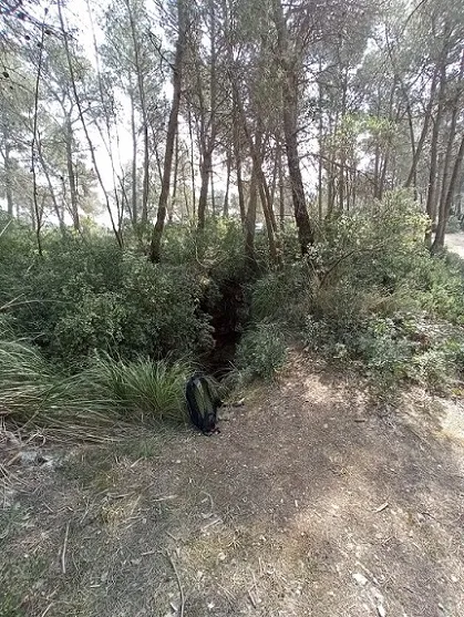
A 2 x 3 metre entrance, which gives access to an 11-metre shaft. At the base of the shaft there is a short gallery forming a small chamber. In the middle of the shaft a 5-metre gallery opens.
History
Known since ancient times as it was used as a sparry calcite quarry.
User Comments (0)
No comments yet.
Be the first to share your experience!
Registered Explorations (0)
No explorations registered yet.
Register your visit to this cave!
Bibliography
- Rubinat, F. (1981).-“Catàleg Espeleològic del Massís de Garraf. Unitat septentrional”. GOURS (8):45-75. GEFOMA. Barcelona.
- Rubinat, F. (2004).-“Catàleg Espeleològic del Massís de l'Ordal”. Espeleosie (monogràfic):1-117. SIE-CE Àliga. Barcelona.
- Fotografies Jordi Perera. SIE - CE Àliga
Nearby caves


Source: Espeleoindex (espeleoindex.com), modified. CC BY-NC 4.0, https://creativecommons.org/licenses/by-nc/4.0/