

Avenc del Pla de Sots
A pit 9.5 metres deep at Pla de Sots, Begues, dug open and explored in 1999 by the Espeleo Grup L'Hospitalet.
EspeleoWorld
Avenc del Pla de Sots
A pit 9.5 metres deep at Pla de Sots, Begues, dug open and explored in 1999 by the Espeleo Grup L'Hospitalet.
Begues · Baix Llobregat
Length: 12 m · Depth: 9 m
Updated record
https://espeleoworld.com/en/c/avenc-del-pla-de-sots
Information can change. Always verify coordinates, access, weather, and cave conditions before setting out.
A pit 9.5 metres deep at Pla de Sots, Begues, dug open and explored in 1999 by the Espeleo Grup L'Hospitalet.
Topographic
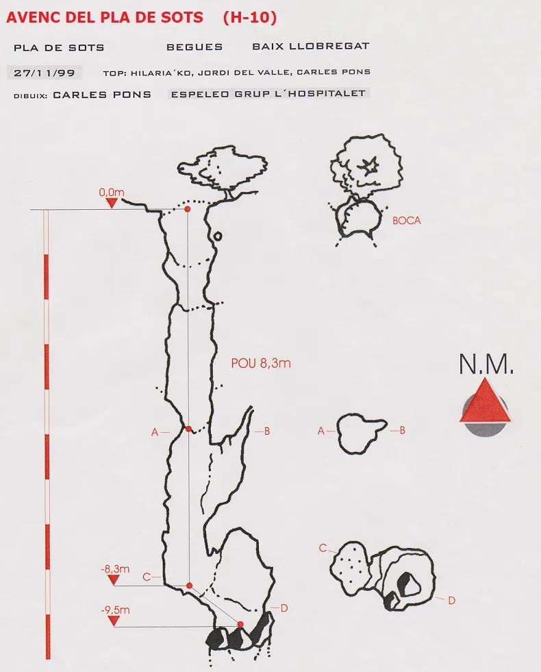
Espeleoindex · CC BY-NC 4.0, https://creativecommons.org/licenses/by-nc/4.0/ · Image © its author.
Photos
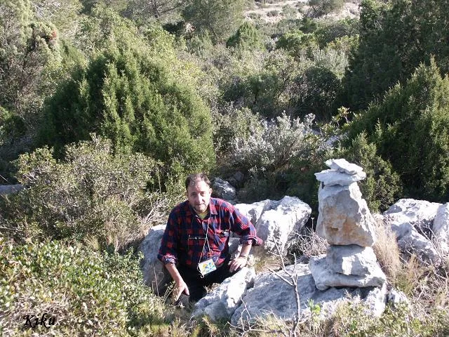
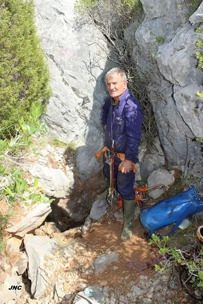
Espeleoindex · CC BY-NC 4.0, https://creativecommons.org/licenses/by-nc/4.0/ · Image © its author.
Description
Morphology
A narrow pit 8.5 metres deep places us at its base, where it coalesces with the upper part of what appears to be a new pit, but this remains totally collapsed by blocks one metre further down.
History
Dug open and explored in 1999 by members of the Espeleo Grup L'Hospitalet.
User Comments (0)
No comments yet.
Be the first to share your experience!
Registered Explorations (0)
No explorations registered yet.
Register your visit to this cave!
Bibliography
- Rubinat Aumedes, F. (2004).-“Catàleg Espeleològic del Massís de l'Ordal”. Espeleosie (Monogràfic):1-117. SIE-CE Àliga. Barcelona.
- Valles, J. De (2017).-”Baix Llobregat”. Catàleg Espeleològic de Catalunya Vol.6:(1-368). ECG/FCE.
- Topografia facilitada per Carles Pons (Espeleo Grup l'Hospitalet) l'any 1999.
- Coordenades, situació i fotografies facilitades per Martí Romero (ERE-CEC).
Nearby caves



Source: Espeleoindex (espeleoindex.com), modified. CC BY-NC 4.0, https://creativecommons.org/licenses/by-nc/4.0/