
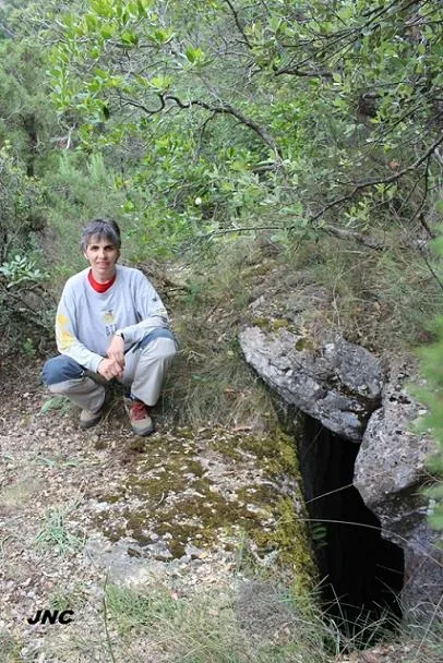
Avenc del Moliner
A 41 m deep pit in the Montsant (Ulldemolins), explored in 1955 by the ERE, with human remains at the bottom and engravings from 1951.
EspeleoWorld
Avenc del Moliner
A 41 m deep pit in the Montsant (Ulldemolins), explored in 1955 by the ERE, with human remains at the bottom and engravings from 1951.
Ulldemolins · Priorat
Length: 55 m · Depth: 41 m
Updated record
https://espeleoworld.com/en/c/avenc-del-moliner
Information can change. Always verify coordinates, access, weather, and cave conditions before setting out.
A 41 m deep pit in the Montsant (Ulldemolins), explored in 1955 by the ERE, with human remains at the bottom and engravings from 1951.
Topographic
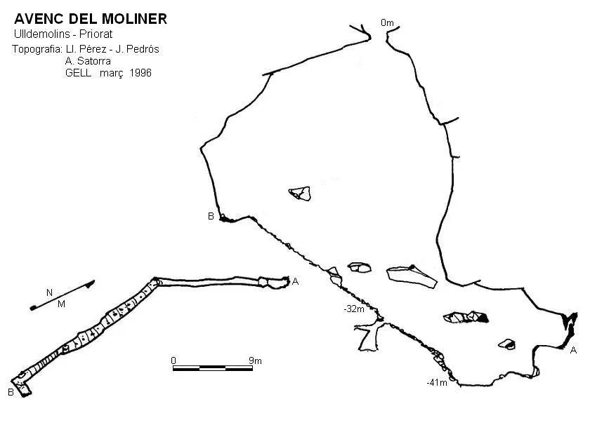

Espeleoindex · CC BY-NC 4.0, https://creativecommons.org/licenses/by-nc/4.0/ · Image © its author.
Photos

Espeleoindex · CC BY-NC 4.0, https://creativecommons.org/licenses/by-nc/4.0/ · Image © its author.
Description
Morphology
The 32 metre deep pit reaches a steep slope where there is a crawlway that gives access to a small chamber with a 4 metre drop. The gallery continues descending until reaching an area covered with stones, the deepest point of the cavity. Continuing with a scramble, you reach a decorated area where the cavity ends. From the base of the pit, in the opposite direction, the gallery climbs up a gravel ramp until reaching an impassable fissure.
Speleothems
At the end of the cavity there is a decorated area where a plaque of the ERE is found.
Progression
The 32 metre deep pit reaches a steep slope where there is a crawlway that gives access to a small chamber with a 4 metre drop. The gallery continues descending until reaching an area covered with stones, the deepest point of the cavity, and continuing with a scramble, you reach a decorated area where the cavity ends. From the base of the pit, in the opposite direction, the gallery climbs up a gravel ramp until reaching an impassable fissure.
Other details
At the bottom of the cavity human remains are found; it seems, according to popular sayings of the local people, that more than two hundred years ago and out of revenge for land reasons, the family of the Molí de l'Espasa threw the entire Motlló or Montlleó family into the pit.
History
Explored by the ERE in 1955, they left a plaque at the bottom of the cavity with the inscription of the name of the Group and the year. What we do not know is which ERE it was. The companions of the GELL who explored it on 31 March 1996 say that they were from Reus, but that cannot be, since it was not created until 1960; on the other hand, in another place in the same publication they say that the plaque was from the GES (?). Therefore, we reach the conclusion that it could only be the ERE of the CEC or the ERE of the AEC. Nevertheless, at the final part of the cavity there are some “historic” engravings; in one of them one can read “J M JANSA PRIUS 13-5-51”, therefore the first exploration of which there would be a reference would be this one from 1951.
User Comments (0)
No comments yet.
Be the first to share your experience!
Registered Explorations (0)
No explorations registered yet.
Register your visit to this cave!
Bibliography
- Farrús,M.;Satorra,A.;Pérez,Ll.(1999).-Resultats de les campanyes del grup espeleològic lleidatà a la serra del Montsant. Anys 1995-1997. El Montsant.” Grallera (5):5-44. GELL-CE Lleida.
- Satorra, Antoni; O'Neill, Maria.(1997).-”Activitats Realitzades. Avenc del Moliner”. Aresta (25):12. CE Lleida.
- Revisió coordenades, dades i fotos 'JNC' facilitades per Jordi Navarro, (Centre Excursionista de Castellar del Vallès).
Nearby caves
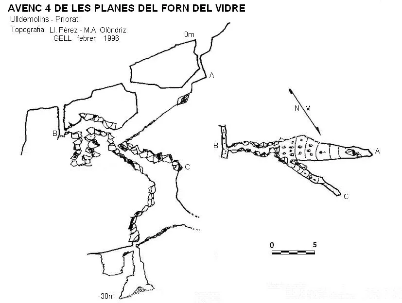
Avenc 4 de les Planes del Forn del Vidre
0.5 km · S
Ulldemolins (Priorat)
1 topo.
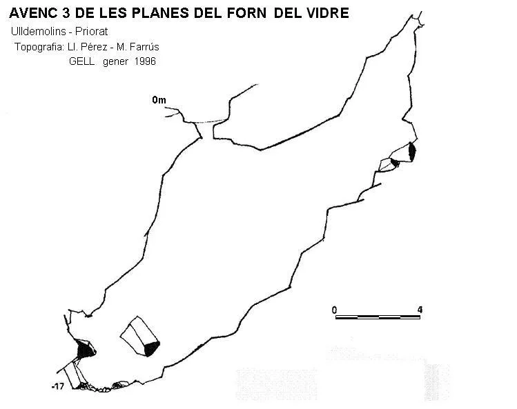
Avenc 3 de les Planes del Forn del Vidre
0.5 km · S
Ulldemolins (Priorat)
1 topo.
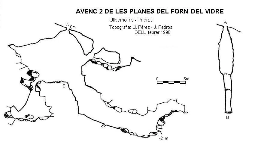
Avenc 2 de les Planes del Forn del Vidre
0.5 km · S
Ulldemolins (Priorat)
1 topo.

Avenc 1 de les Planes del Forn del Vidre
0.6 km · S
Ulldemolins (Priorat)
1 topo.
Source: Espeleoindex (espeleoindex.com), modified. CC BY-NC 4.0, https://creativecommons.org/licenses/by-nc/4.0/