
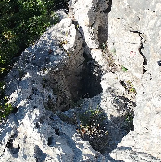
Avenc de la Foradada
Petit avenc de 5 m de fondària a la zona de la Bena (Garraf)
EspeleoWorld
Avenc de la Foradada
Petit avenc de 5 m de fondària a la zona de la Bena (Garraf)
Begues · Baix Llobregat
Length: 6 m · Depth: 5 m
Updated record
https://espeleoworld.com/en/c/avenc-de-la-foradada-begues
Information can change. Always verify coordinates, access, weather, and cave conditions before setting out.
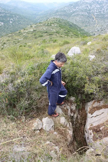
Small pit 5 m deep in the Bena area (Garraf), cleared and explored in June 2017.
Topographic
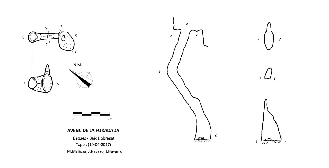
Espeleoindex · CC BY-NC 4.0, https://creativecommons.org/licenses/by-nc/4.0/ · Image © its author.
Photos
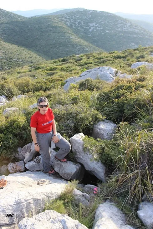
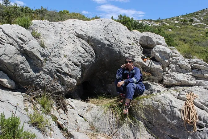
Espeleoindex · CC BY-NC 4.0, https://creativecommons.org/licenses/by-nc/4.0/ · Image © its author.
Description
Morphology
Access is via a practically vertical tube of 0.9x0.5 m, which previously had to be cleared of blocks. At about 2 m depth, the direction changes and descends along a less steep ramp; in this section a tight tube passage 0.3x0.5 m high leads to a final 1.4 m step where the cavity ends.
Progression
Access is via a practically vertical tube of 0.9x0.5 m, which previously had to be cleared of blocks. At about 2 m depth, the direction changes and descends along a less steep ramp; in this section a tight tube passage 0.3x0.5 m high leads to a final 1.4 m step where the cavity ends.
History
Cleared and explored by M. Mañosa, J. Navazo and J. Navarro in June 2017.
Later, in May 2024, it was located by the colleague Josep Guarro and at that time a provisional record was made as Avenc B-5, practically without data, which is now replaced by the current one.
User Comments (0)
No comments yet.
Be the first to share your experience!
Registered Explorations (0)
No explorations registered yet.
Register your visit to this cave!
Bibliography
Totes les dades, topografia i fotografies han estat facilitades per Montse Mañosa i Jordi Navarro (Centre Excursionista de Castellar del Vallès).
Nearby caves


Source: Espeleoindex (espeleoindex.com), modified. CC BY-NC 4.0, https://creativecommons.org/licenses/by-nc/4.0/