
Avenc de l'Ametller
Ínfim avenc de 3 m. de fondària a Castellar del Vallès
EspeleoWorld
Avenc de l'Ametller
Ínfim avenc de 3 m. de fondària a Castellar del Vallès
Castellar del Vallès · Vallès Occidental
Length: 5 m · Depth: 3 m
Updated record
https://espeleoworld.com/en/c/avenc-de-l-ametller
Information can change. Always verify coordinates, access, weather, and cave conditions before setting out.
Tiny 3 m deep pit in Castellar del Vallès, discovered and explored in 1981 by members of the SIS del CE Terrassa.
Topographic
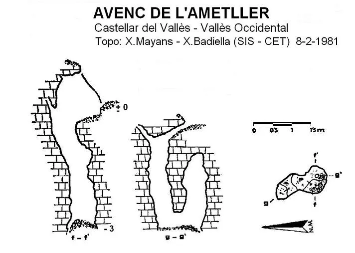

Espeleoindex · CC BY-NC 4.0, https://creativecommons.org/licenses/by-nc/4.0/ · Image © its author.
Description
Morphology
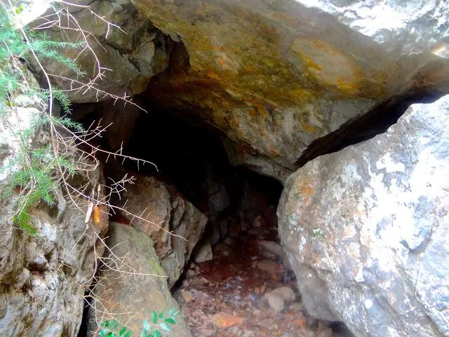
Its small entrance allows us to enter a very narrow 3 metre shaft, at the bottom of which a small hole can be seen; once this has been passed with considerable difficulty, we can stand upright again, while observing at the upper end of the small chamber a little hole that communicates with the outside, but which is totally impenetrable.
Cavity excavated in a stretch of Muschelkalk limestone, while observing in the upper stretch some forms of erosion.
History
This small cavity was discovered and explored in 1981 by members of the SIS del CE Terrassa.
User Comments (0)
No comments yet.
Be the first to share your experience!
Registered Explorations (0)
No explorations registered yet.
Register your visit to this cave!
Bibliography
Badiella, X.; Aguirre,F.; Martínez, M.A. (1982).- “Les cavitat del vessant Est del riu Ripoll (II)” SIS (9): 12-21 / Arxiu del Centre Excursionista de Terrassa (29): 552-561. Centre Excursionista de Terrassa.
Nearby caves
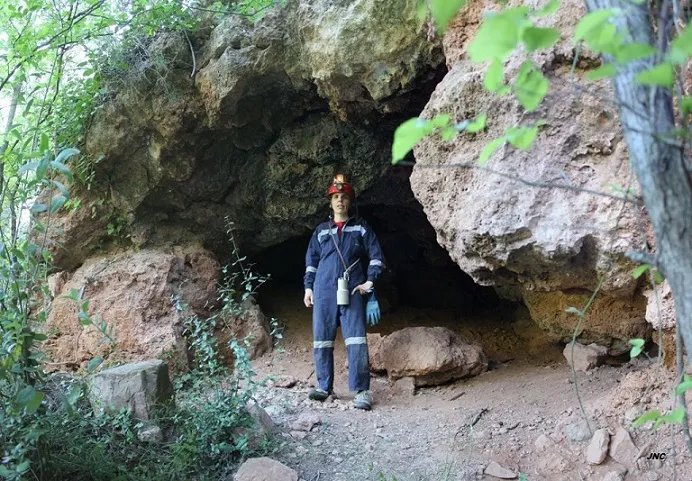
Cova dels Horts del Botafoc
0.2 km · NE
Castellar del Vallès (Vallès Occidental)
1 topo.4 photos
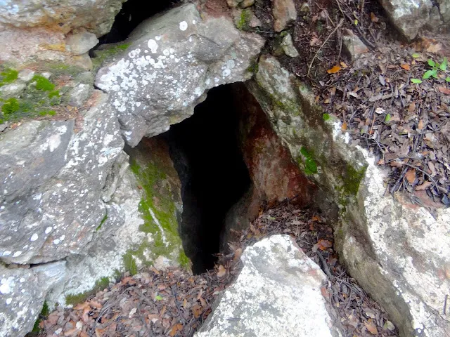
Avenc Iii de la Malesa
1.1 km · SW
Castellar del Vallès (Vallès Occidental)
1 topo.1 photos
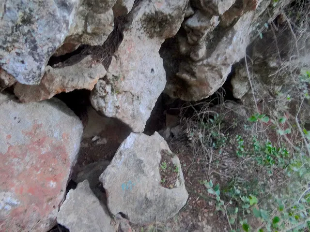
Esquerda de la Malesa
1.1 km · SW
Castellar del Vallès (Vallès Occidental)
1 topo.1 photos
Avenc de Fonts Calentes
1.1 km · SW
Castellar del Vallès (Vallès Occidental)
1 topo.1 photos
Source: Espeleoindex (espeleoindex.com), modified. CC BY-NC 4.0, https://creativecommons.org/licenses/by-nc/4.0/