
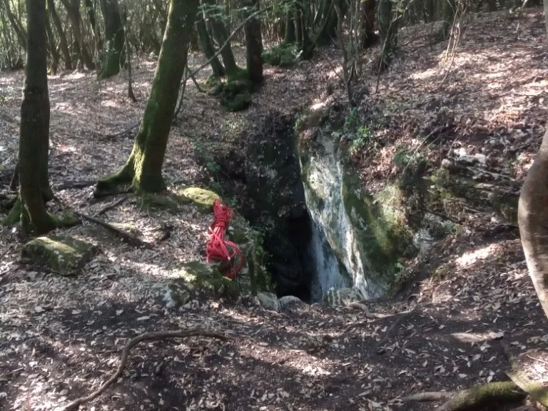
Pozzi della Piana Ingresso Scivolo
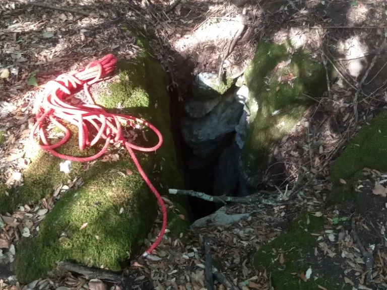
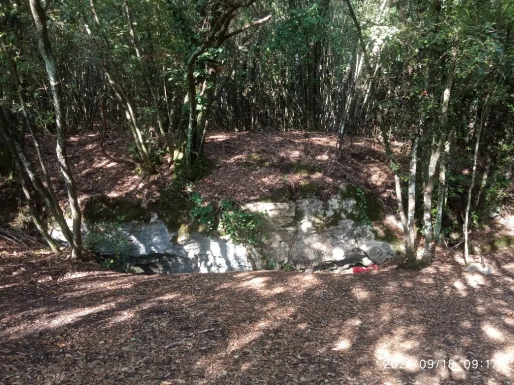
A 10-metre fissure that, with a slide along its entire length, allows access to the cave.
EspeleoWorld
Pozzi della Piana Ingresso Scivolo
A 10-metre fissure that, with a slide along its entire length, allows access to the cave.
Orvieto
Länge des Systems: 2555 m · Tiefe des Systems: 21 m
Aktueller Datensatz
https://espeleoworld.com/de/c/pozzi-della-piana-ingresso-scivolo-orvieto-terni
Informationen können sich ändern. Koordinaten, Zugang, Wetter und Höhlenbedingungen vor dem Aufbruch immer prüfen.
A 10-metre fissure that, with a slide along its entire length, allows access to the cave.
Fotos
© Mauro Barbieri · LicenseRef-FUGS-media-per-item · Federazione Umbra Gruppi Speleologici (FUGS), Catasto Speleologico dell'Umbria · https://catasto.fugs.it/index.php?mod=caves&op=view&id=872
Beschreibung
Morphologie
A 10-metre fissure that, with a slide along its entire length, allows access to the cave. Trend: predominantly horizontal.
Befahrung
Traversability: demanding; recommended period: all year. Rigging: temporary. Hazards: dangerous access.
Weitere Einzelheiten
Geology: between carbonate and travertine deposits - Quaternary (Pleistocene - Holocene); Travertines; obliterated; subhorizontal.
Geschichte
Finds: archaeological, palethnological. Studies: archaeological, palethnological, anthropological.
Benutzerkommentare (0)
Noch keine Kommentare.
Seien Sie der Erste, der seine Erfahrung teilt!
Registrierte Erkundungen (0)
Noch keine Erkundungen registriert.
Registrieren Sie Ihren Besuch in dieser Höhle!
Höhlen in der Nähe

Quelle: Catasto Cavità Umbria (Federazione Umbra Gruppi Speleologici, FUGS) (catasto.fugs.it), verändert. LicenseRef-FUGS-no-licence-stated Federazione Umbra Gruppi Speleologici (FUGS), Catasto Speleologico dell'Umbria · https://catasto.fugs.it/index.php?mod=caves&op=view&id=872 · Datenstand 2025 · Quelle: Catasto Cavità Umbria (Federazione Umbra Gruppi Speleologici, FUGS) (catasto.fugs.it), verändert. LicenseRef-FUGS-media-per-item Federazione Umbra Gruppi Speleologici (FUGS), Catasto Speleologico dell'Umbria · Datenstand 2025