
Grotta Perduta
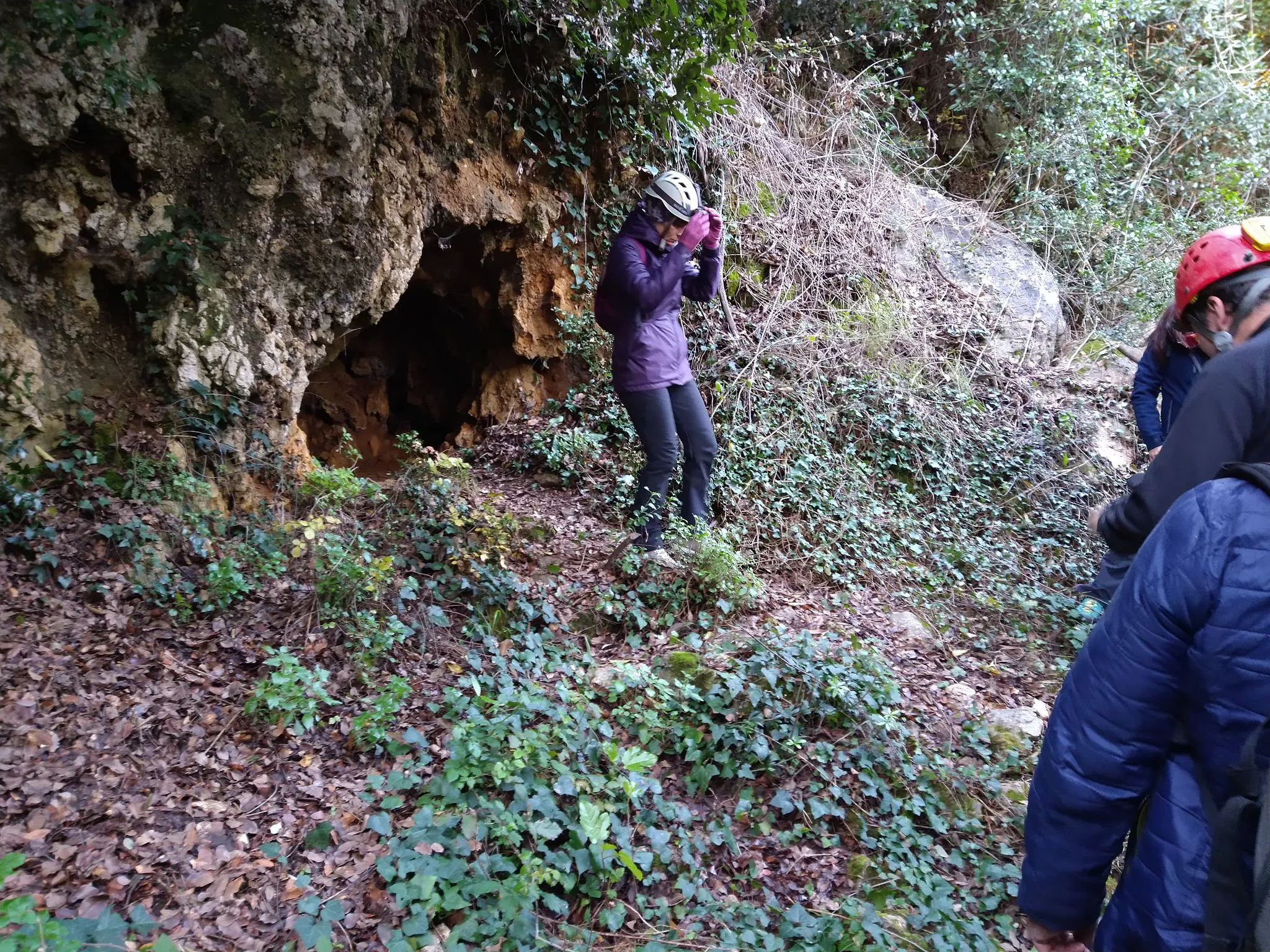
The only horizontal cave, partly excavated for iron extraction, with a development of 10 metres and a width of 7.
EspeleoWorld
Grotta Perduta
The only horizontal cave, partly excavated for iron extraction, with a development of 10 metres and a width of 7.
Narni
Länge: 10 m · Tiefe: 5 m
Aktueller Datensatz
https://espeleoworld.com/de/c/grotta-perduta-narni-terni
Informationen können sich ändern. Koordinaten, Zugang, Wetter und Höhlenbedingungen vor dem Aufbruch immer prüfen.
The only horizontal cave, partly excavated for iron extraction, with a development of 10 metres and a width of 7.
Beschreibung
Morphologie
The only horizontal cave, partly excavated for iron extraction, development 10 metres by 7 in width.
Trend: predominantly horizontal.
Geology: MAS Limestone Massiccio - Lower-Upper Jurassic (Sinemurian-Pliensbachian); massive limestones; massive.
Befahrung
Traversability: easy; recommended period all year round.
Benutzerkommentare (0)
Noch keine Kommentare.
Seien Sie der Erste, der seine Erfahrung teilt!
Registrierte Erkundungen (0)
Noch keine Erkundungen registriert.
Registrieren Sie Ihren Besuch in dieser Höhle!
Höhlen in der Nähe
Quelle: Catasto Cavità Umbria (Federazione Umbra Gruppi Speleologici, FUGS) (catasto.fugs.it), verändert. LicenseRef-FUGS-no-licence-stated Federazione Umbra Gruppi Speleologici (FUGS), Catasto Speleologico dell'Umbria · https://catasto.fugs.it/index.php?mod=caves&op=view&id=938 · Datenstand 2025