
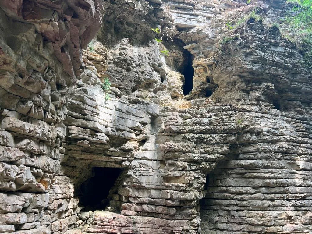
Grotta Fosso del Curso
Cavity in the Fosso del Curso with a surveyed development of 19.50 m and a positive height difference of 4.50 m, with an ascending/descending trend and demanding traversability.
EspeleoWorld
Grotta Fosso del Curso
Cavity in the Fosso del Curso with a surveyed development of 19.50 m and a positive height difference of 4.50 m, with an ascending/descending trend and demanding traversability.
San Venanzo
Länge: 23 m · Tiefe: 4 m
Aktueller Datensatz
https://espeleoworld.com/de/c/grotta-fosso-del-curso-san-venanzo-terni
Informationen können sich ändern. Koordinaten, Zugang, Wetter und Höhlenbedingungen vor dem Aufbruch immer prüfen.
Cavity in the Fosso del Curso with a surveyed development of 19.50 m and a positive height difference of 4.50 m, with an ascending/descending trend and demanding traversability.
Fotos
© Mauro Barbieri · LicenseRef-FUGS-media-per-item · Federazione Umbra Gruppi Speleologici (FUGS), Catasto Speleologico dell'Umbria · https://catasto.fugs.it/index.php?mod=caves&op=view&id=369
Beschreibung
Morphologie
Cavity with a surveyed development of 19.50 m, with a positive height difference equal to 4.50 m. Trend: Ascending/Descending.
Hydrologie
Water difficulties: Watercourses. Traversability: Demanding; recommended period No with precipitation. Hazards: Dangerous access, Landslides/collapses, Floods/inundations.
Befahrung
Rigging: Temporary. Progression difficulty: Drops, Slides, Traverses, Ascents.
Weitere Einzelheiten
Geology: SAA Scaglia Rossa - Upper Cretaceous-Middle Eocene (Turonian-Lutetian); Stratified micritic limestones; Stratified.
Geschichte
Notes on the name: It takes its name from the stream where it is located.
Benutzerkommentare (0)
Noch keine Kommentare.
Seien Sie der Erste, der seine Erfahrung teilt!
Registrierte Erkundungen (0)
Noch keine Erkundungen registriert.
Registrieren Sie Ihren Besuch in dieser Höhle!
Höhlen in der Nähe
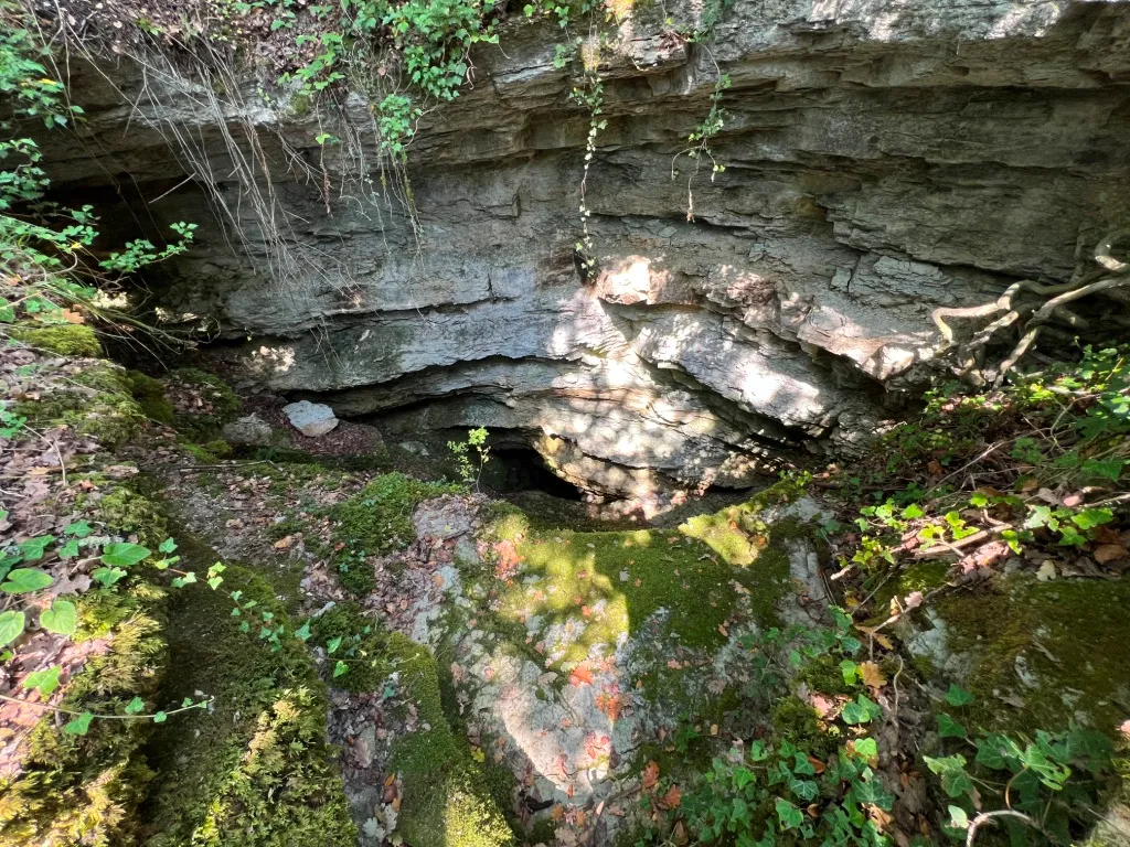
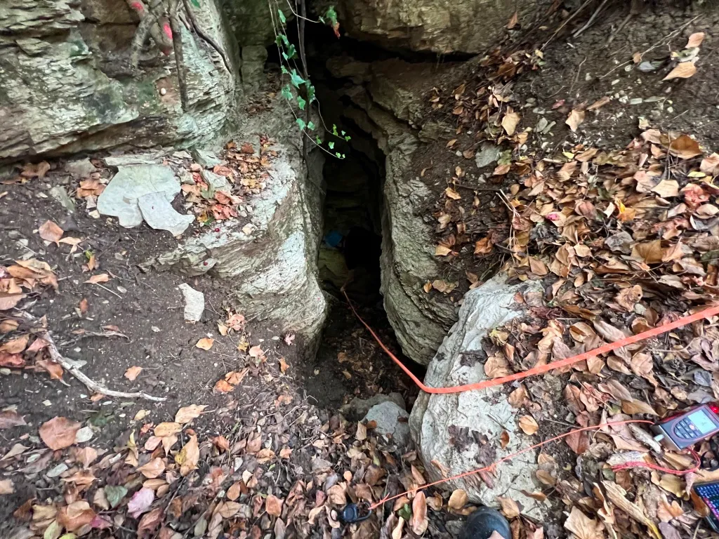
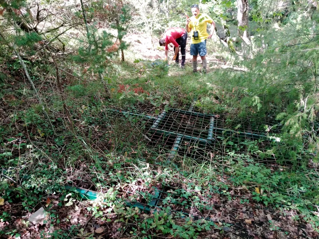

Quelle: Catasto Cavità Umbria (Federazione Umbra Gruppi Speleologici, FUGS) (catasto.fugs.it), verändert. LicenseRef-FUGS-no-licence-stated Federazione Umbra Gruppi Speleologici (FUGS), Catasto Speleologico dell'Umbria · https://catasto.fugs.it/index.php?mod=caves&op=view&id=369 · Datenstand 2025 · Quelle: Catasto Cavità Umbria (Federazione Umbra Gruppi Speleologici, FUGS) (catasto.fugs.it), verändert. LicenseRef-FUGS-media-per-item Federazione Umbra Gruppi Speleologici (FUGS), Catasto Speleologico dell'Umbria · Datenstand 2025