
Grotta di San Casciano
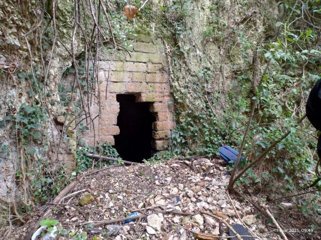
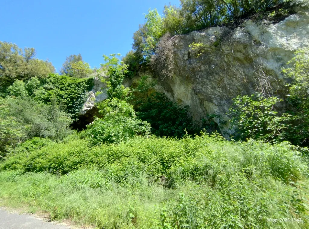
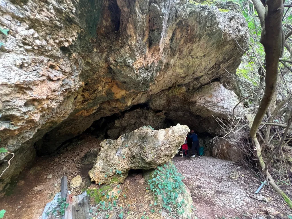
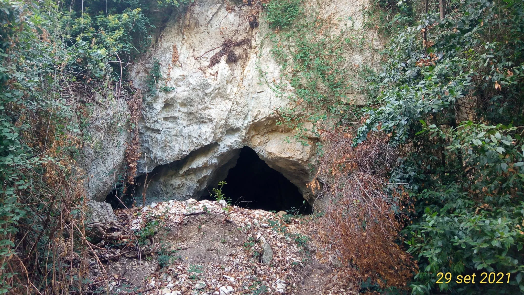
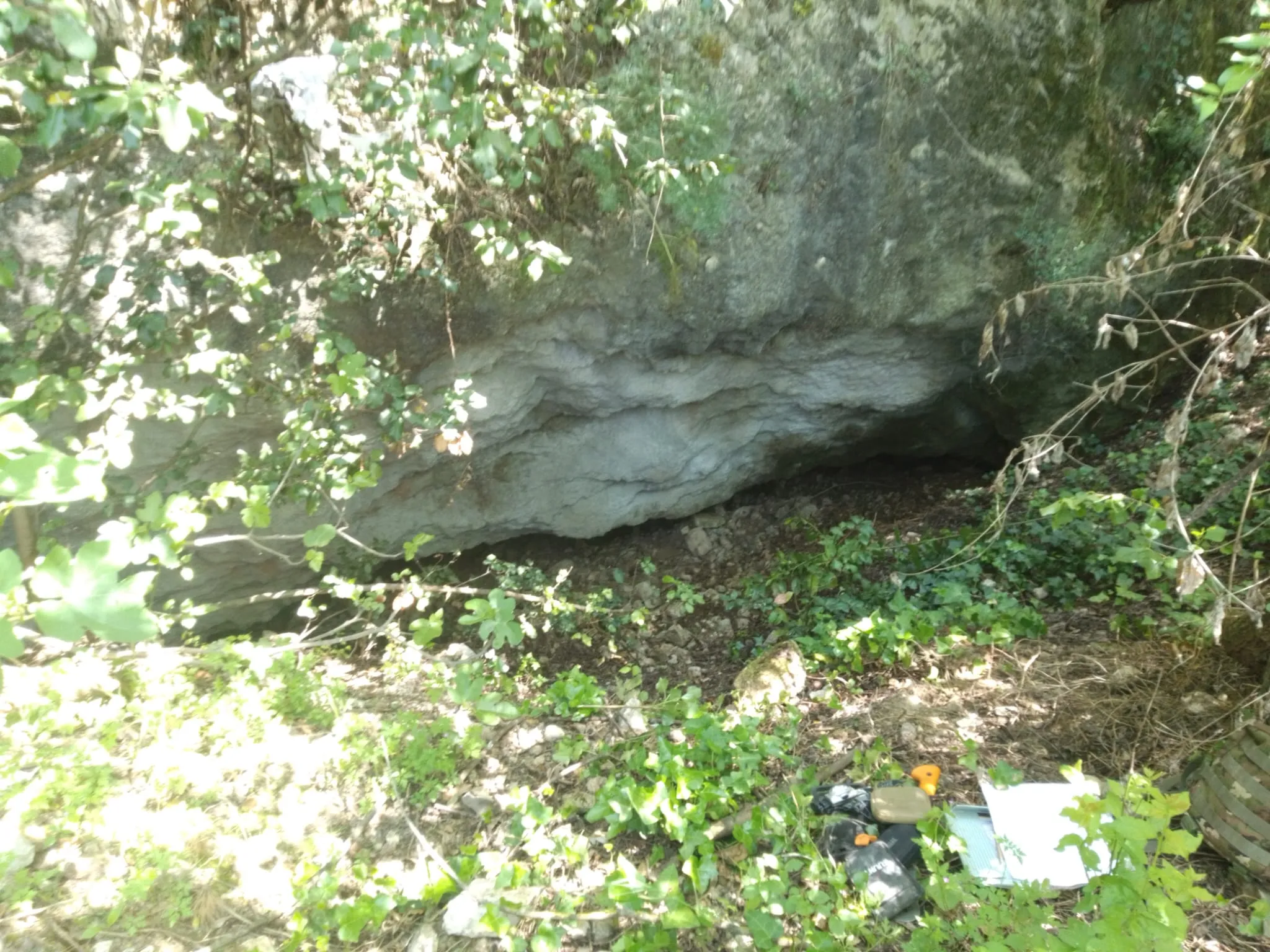
Cave with a predominantly horizontal trend, formed by three adjacent chambers and three entrances, one of which is suspended.
EspeleoWorld
Grotta di San Casciano
Cave with a predominantly horizontal trend, formed by three adjacent chambers and three entrances, one of which is suspended.
Narni
Länge: 44 m
Aktueller Datensatz
https://espeleoworld.com/de/c/grotta-di-san-casciano-narni-terni
Informationen können sich ändern. Koordinaten, Zugang, Wetter und Höhlenbedingungen vor dem Aufbruch immer prüfen.
Cave with a predominantly horizontal trend, formed by three adjacent chambers and three entrances, one of which is suspended.
Topografie
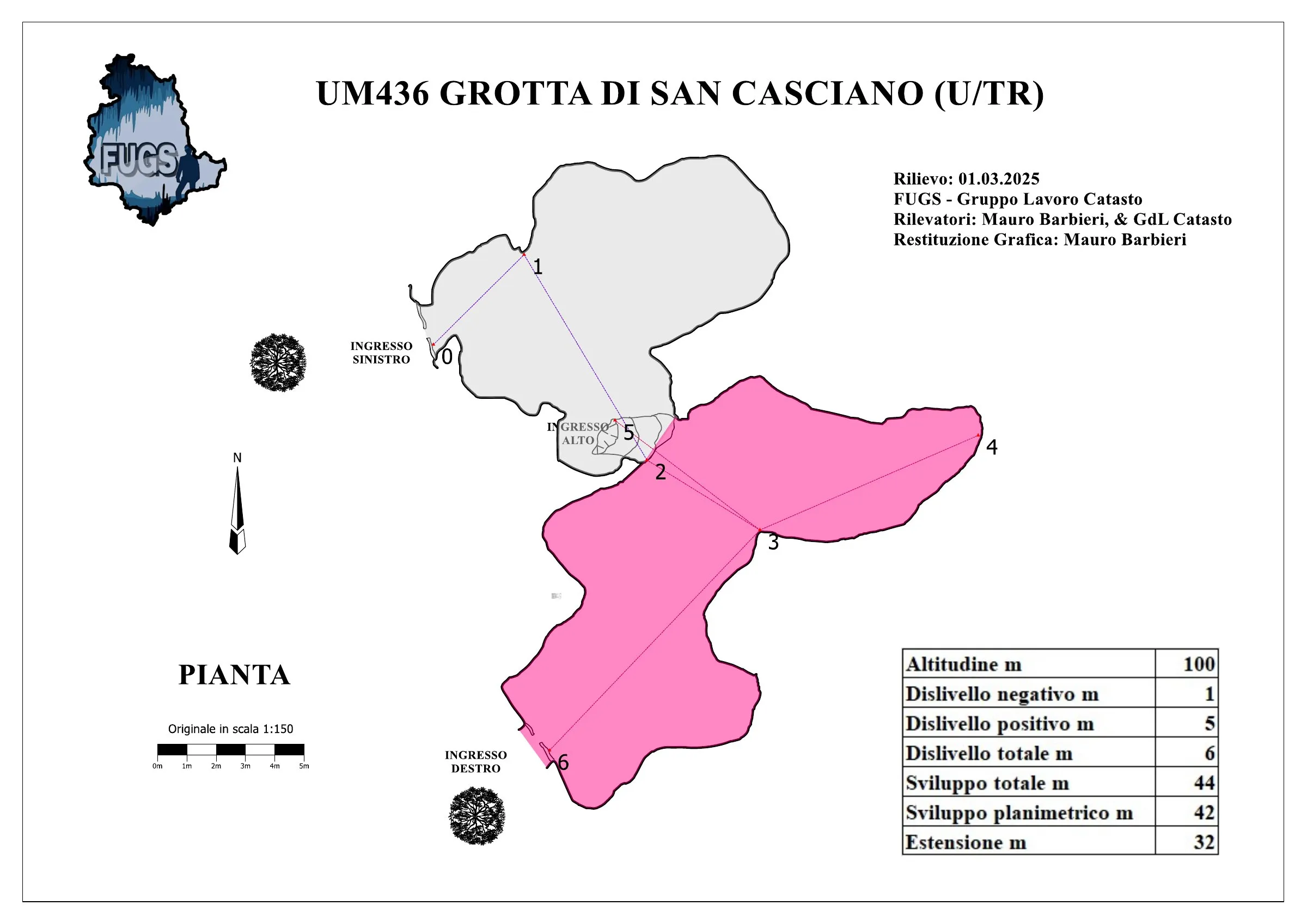
© Mauro Barbieri · CC BY-SA 4.0, https://creativecommons.org/licenses/by-sa/4.0/ · Federazione Umbra Gruppi Speleologici (FUGS), Catasto Speleologico dell'Umbria · https://catasto.fugs.it/index.php?mod=caves&op=view&id=436
Fotos
© Mauro Barbieri · LicenseRef-FUGS-media-per-item · Federazione Umbra Gruppi Speleologici (FUGS), Catasto Speleologico dell'Umbria · https://catasto.fugs.it/index.php?mod=caves&op=view&id=436
Beschreibung
Morphologie
Cave with three adjacent chambers and three entrances, one of which is suspended.
Trend: Predominantly horizontal.
Geology: MAS Limestone - Lower-Upper Jurassic (Sinemurian-Pliensbachian); massive limestones; massive.
Hydrologie
Hydrology and meteorology: internal temperature 10 °C; humidity 87 %; no air flows; measurements coinciding with the external weather conditions on 01/03/2025.
Befahrung
Traversability: Easy; recommended period all year round.
Hazards: Dangerous access, Landslides/collapses.
Weitere Einzelheiten
Pollution: Solid waste, intensity High, solid waste of various kinds easily removable.
Geschichte
In the '60s the cave was inhabited by populations of nomads.
Protection of historical-archaeological sites: No.
Notes on the name: It takes its name from the nearby Monastery.
Bio
Chiroptera: Presence of one bat on 01/03/2025.
Other hypogean fauna: Various bone remains of small mammals, dolichopoda.
Environmental and biological protections: No.
Benutzerkommentare (0)
Noch keine Kommentare.
Seien Sie der Erste, der seine Erfahrung teilt!
Registrierte Erkundungen (0)
Noch keine Erkundungen registriert.
Registrieren Sie Ihren Besuch in dieser Höhle!
Höhlen in der Nähe


Quelle: Catasto Cavità Umbria (Federazione Umbra Gruppi Speleologici, FUGS) (catasto.fugs.it), verändert. LicenseRef-FUGS-no-licence-stated Federazione Umbra Gruppi Speleologici (FUGS), Catasto Speleologico dell'Umbria · https://catasto.fugs.it/index.php?mod=caves&op=view&id=436 · Datenstand 2025 · Quelle: Catasto Cavità Umbria (Federazione Umbra Gruppi Speleologici, FUGS) (catasto.fugs.it), verändert. LicenseRef-FUGS-media-per-item Federazione Umbra Gruppi Speleologici (FUGS), Catasto Speleologico dell'Umbria · Datenstand 2025