
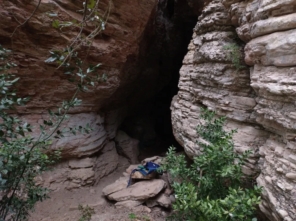
Grotta dei Porci
A system of horizontal passages and fissures, developed along three wide joints enlarged by corrosion and fluvial erosion, with speleothems absent or very poor.
EspeleoWorld
Grotta dei Porci
A system of horizontal passages and fissures, developed along three wide joints enlarged by corrosion and fluvial erosion, with speleothems absent or very poor.
Orvieto
Länge: 74 m · Tiefe: 19 m
Aktueller Datensatz
https://espeleoworld.com/de/c/grotta-dei-porci-orvieto-terni
Informationen können sich ändern. Koordinaten, Zugang, Wetter und Höhlenbedingungen vor dem Aufbruch immer prüfen.
A system of horizontal passages and fissures, developed along three wide joints enlarged by corrosion and fluvial erosion, with speleothems absent or very poor.
Topografie
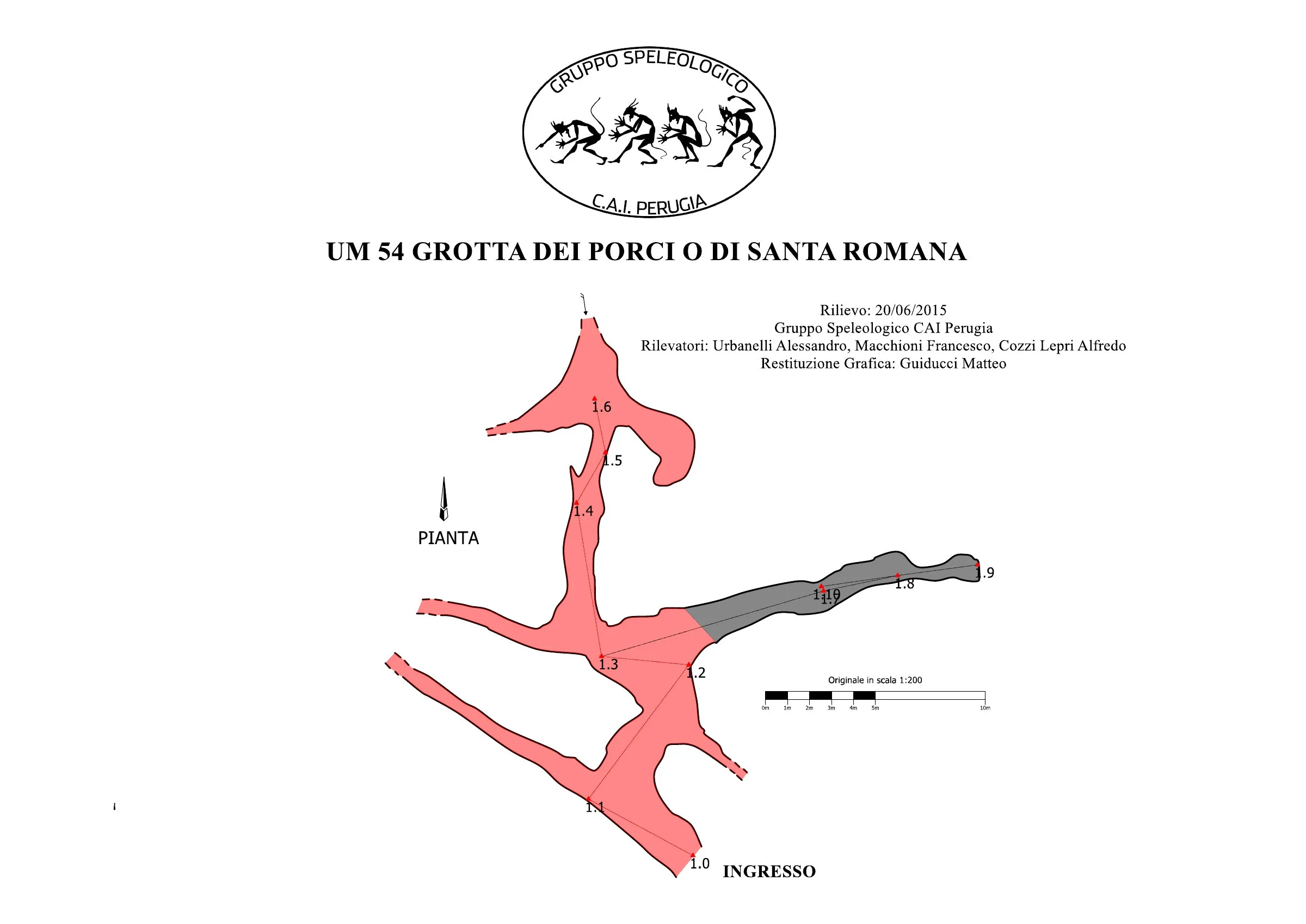
© Matteo Guiducci · CC BY-SA 4.0, https://creativecommons.org/licenses/by-sa/4.0/ · Federazione Umbra Gruppi Speleologici (FUGS), Catasto Speleologico dell'Umbria · https://catasto.fugs.it/index.php?mod=caves&op=view&id=54
Fotos
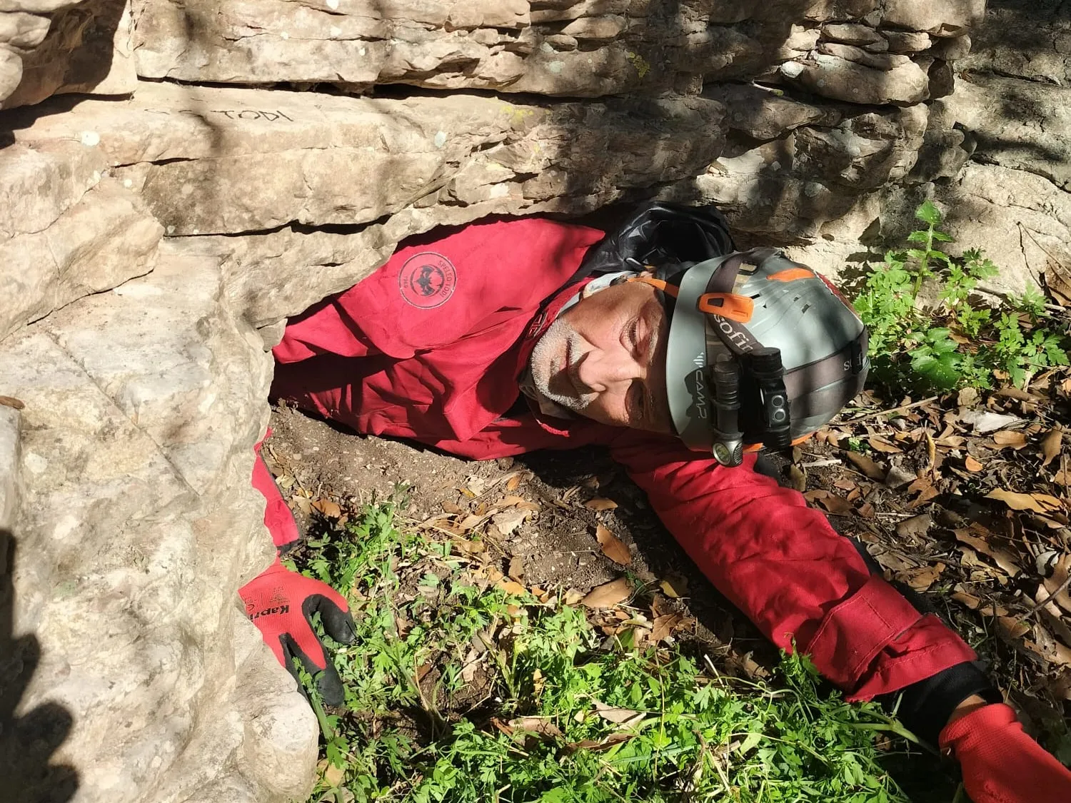
© Mauro Barbieri · LicenseRef-FUGS-media-per-item · Federazione Umbra Gruppi Speleologici (FUGS), Catasto Speleologico dell'Umbria · https://catasto.fugs.it/index.php?mod=caves&op=view&id=54
Beschreibung
Morphologie
System of passages and fissures. Trend: Horizontal. Passability: Easy; recommended period all year. Hazards: landslides/collapses.
Geology: SAA Scaglia Rossa - Upper Cretaceous-Middle Eocene (Turonian-Lutetian); stratified micritic limestones; stratified; subhorizontal. The cave is developed along three wide SE-NW, E-W, S-N joints, enlarged by corrosion and fluvial erosion. Nature of the ground: earthy at the entrance, earthy and detrital inside.
Speläotheme
Speleothems: absent or very poor.
Weitere Einzelheiten
Excavation work was carried out in the search for archaeological finds.
Paleontology: Puccioni found remains of: Canis Lupus, Ovis Aries, Lepus Europaeus, Bos Taurus.
Geschichte
Archaeology and palethnology: the research carried out by Mochi gave a negative result. Studies: archaeological, palethnological.
Notes on the name: this cave seems to coincide with the Grotta di Santa Romana described by Puccioni; however, it was indicated by the locals under the name Grotta dei Porci.
Benutzerkommentare (0)
Noch keine Kommentare.
Seien Sie der Erste, der seine Erfahrung teilt!
Registrierte Erkundungen (0)
Noch keine Erkundungen registriert.
Registrieren Sie Ihren Besuch in dieser Höhle!
Bibliografie
LEMMI G. & COLETTI G. (1961) Elenco catastale delle grotte dell'Umbria ANONIMO (1962) Attività del Gruppo Grotte dell'Istituto di Geologia dell'Università di Perugia
Höhlen in der Nähe


Quelle: Catasto Cavità Umbria (Federazione Umbra Gruppi Speleologici, FUGS) (catasto.fugs.it), verändert. LicenseRef-FUGS-no-licence-stated Federazione Umbra Gruppi Speleologici (FUGS), Catasto Speleologico dell'Umbria · https://catasto.fugs.it/index.php?mod=caves&op=view&id=54 · Datenstand 2025 · Quelle: Catasto Cavità Umbria (Federazione Umbra Gruppi Speleologici, FUGS) (catasto.fugs.it), verändert. LicenseRef-FUGS-media-per-item Federazione Umbra Gruppi Speleologici (FUGS), Catasto Speleologico dell'Umbria · Datenstand 2025