
照片 - Pumperloch
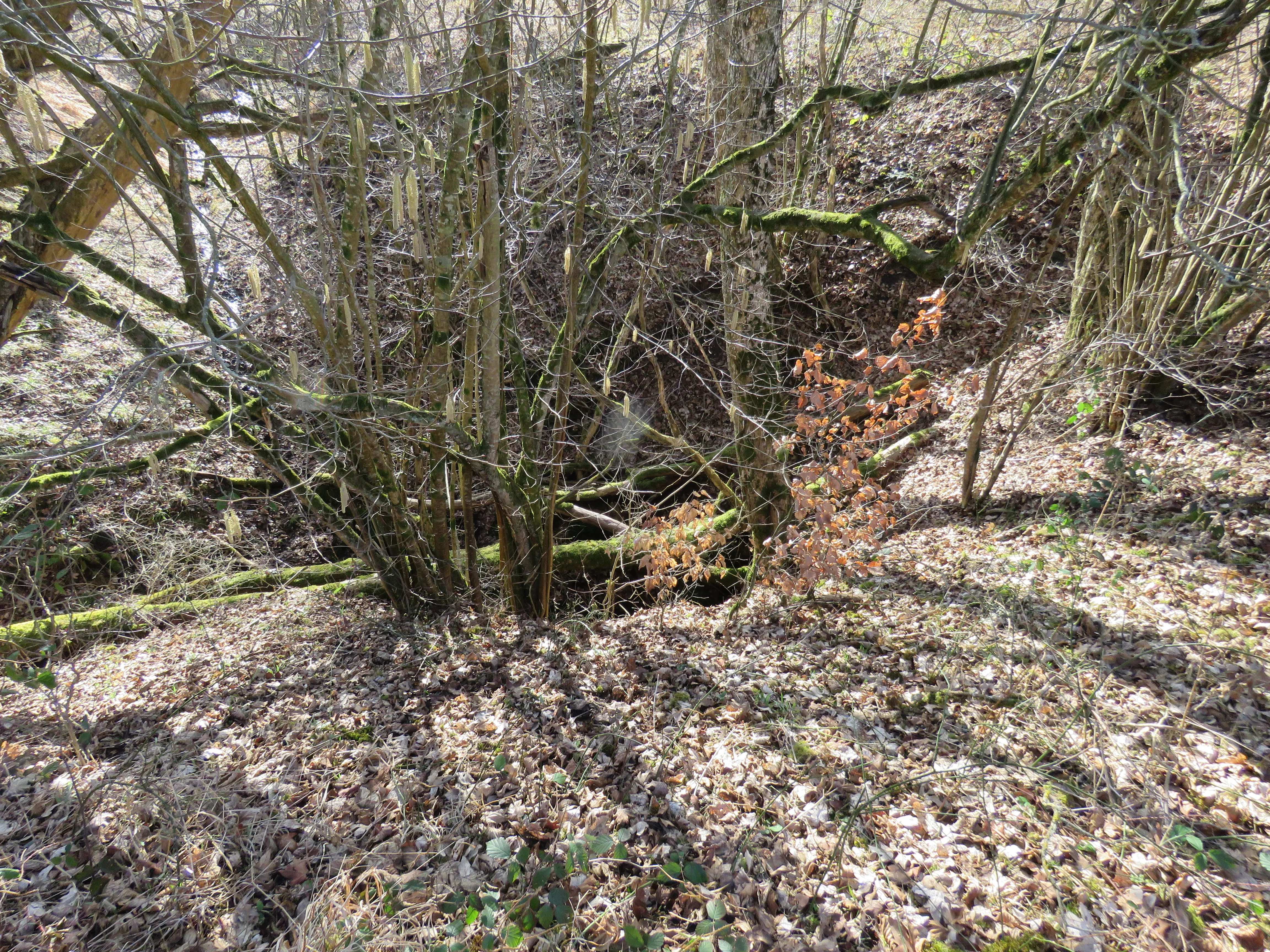


© Calistemon · CC BY-SA 4.0, https://creativecommons.org/licenses/by-sa/4.0/ · Wikimedia Commons · https://commons.wikimedia.org/wiki/File:Pumperh%C3%B6hle,_Otting,_Bavaria,_March_2025_03.jpg
6 / 9
来源:Geotopkataster Bayern (Bayerisches Landesamt für Umwelt)(www.umweltatlas.bayern.de),已修改。 CC BY 4.0, https://creativecommons.org/licenses/by/4.0/ Datenquelle: Bayerisches Landesamt für Umwelt, www.lfu.bayern.de · 2026年数据 · 包含来自 © OpenStreetMap contributors(www.openstreetmap.org)的信息,依据开放数据库许可协议(Open Database License,ODbL 1.0, https://opendatacommons.org/licenses/odbl/1-0/)提供,已修改。 · 名称 · 获取于 2026-11-13 · https://www.openstreetmap.org/node/8284245811 · 2026年数据 · 衍生数据可应要求依据 ODbL 提供: [email protected]