
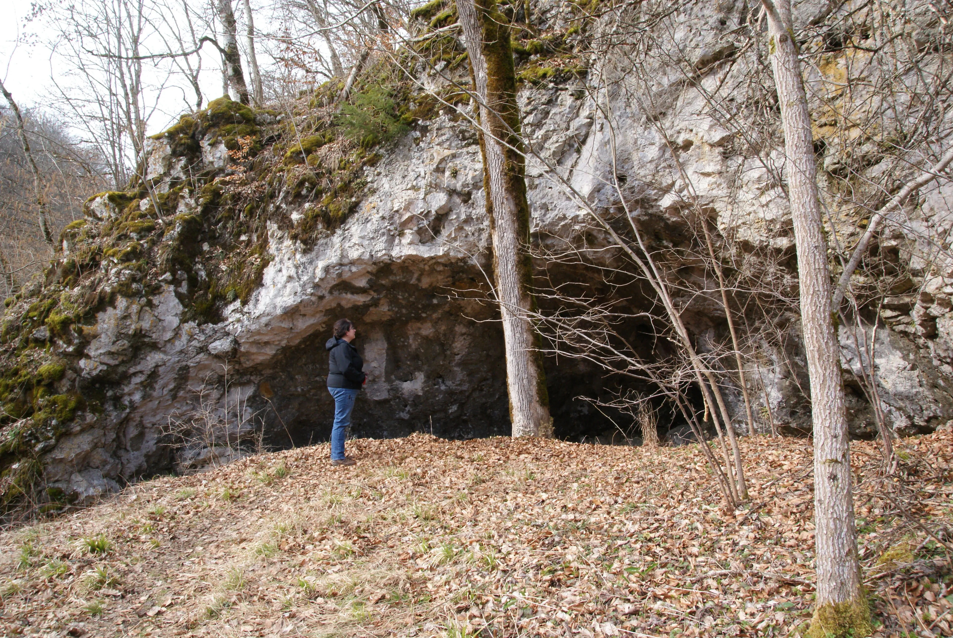
Schuntershöhle
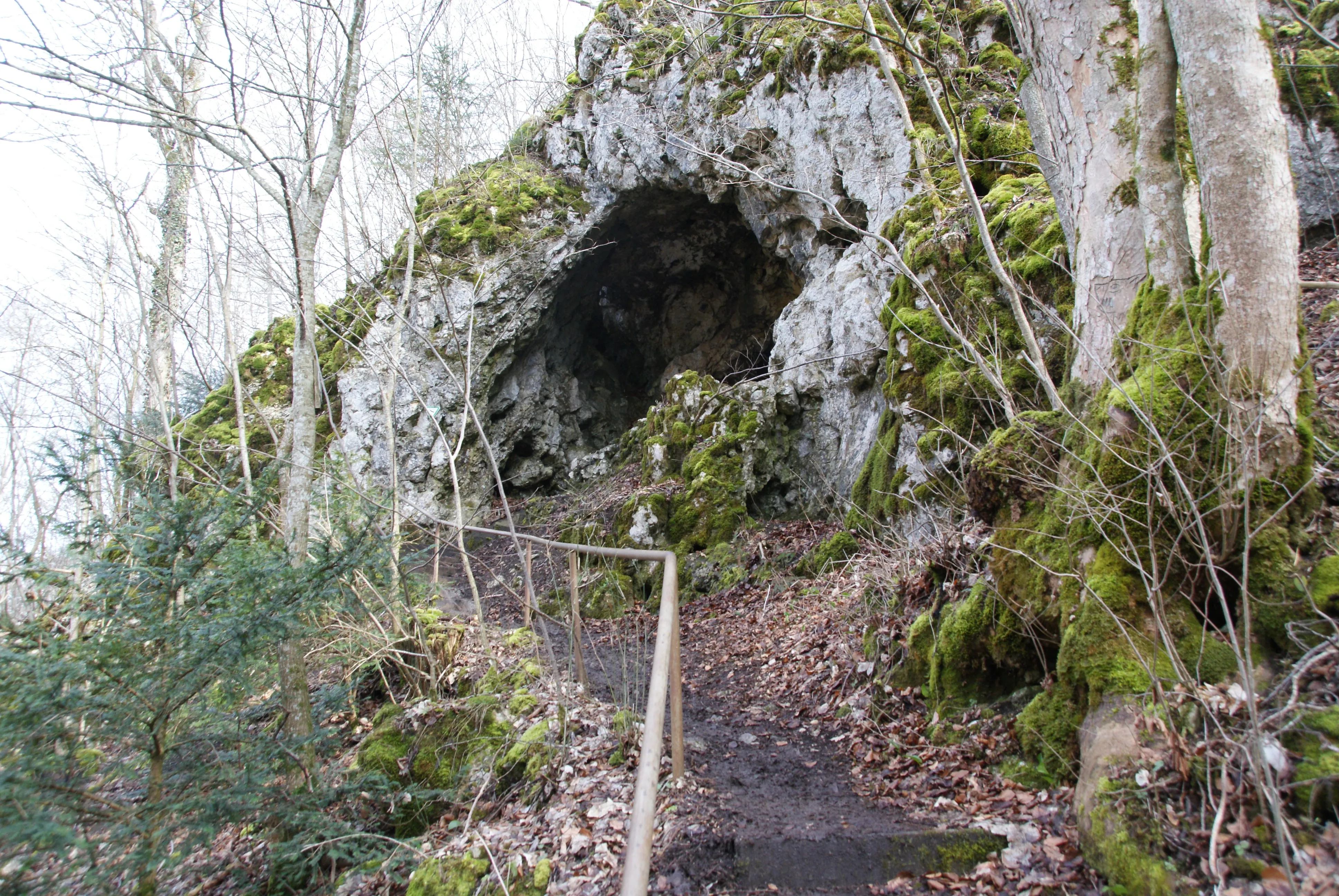
The Schunterhöhle, also called Schonterhöhle, lies east of Briel at the foot of the Rappenstein on the Weilersteußlingen district.
EspeleoWorld
Schuntershöhle
The Schunterhöhle, also called Schonterhöhle, lies east of Briel at the foot of the Rappenstein on the Weilersteußlingen district.
Allmendingen
最新资料
https://espeleoworld.com/zh/c/schuntershoehle-allmendingen
信息可能会变化。出发前请务必核对坐标、通行情况、天气和洞穴状况。
The Schunterhöhle, also called Schonterhöhle, lies east of Briel at the foot of the Rappenstein on the Weilersteußlingen district.
照片
© Karle3 · CC BY-SA 4.0, https://creativecommons.org/licenses/by-sa/4.0/ · Wikimedia Commons · https://commons.wikimedia.org/wiki/File:Kd3_20200308_04693_schonterhoehle.jpg
描述
其他详情
The rock and the cave are protected under the name Rappenstein und Schunterhöhle as natural monument no. 84250020043 and under the name Felsrippe Rappenstein und Schuntershöhle am O-Hang des Rautals 1100 m NE von Briel also as a geotope.
历史
It is said to have served around 1780 as a Wohnhöhle for a family named Schunter.
用户评论 (0)
暂无评论。
成为第一个分享体验的人!
已记录的探索 (0)
暂无探索记录。
记录您对这个洞穴的访问!
附近洞穴

来源:Geotopkataster Baden-Württemberg (Regierungspräsidium Freiburg – LGRB)(services.lgrb-bw.de),已修改。 Data licence Germany – attribution – version 2.0 (dl-de/by-2-0), https://www.govdata.de/dl-de/by-2-0 Datenquelle: Regierungspräsidium Freiburg - LGRB, www.lgrb-bw.de · 2026年数据 · 包含来自 © OpenStreetMap contributors(www.openstreetmap.org)的信息,依据开放数据库许可协议(Open Database License,ODbL 1.0, https://opendatacommons.org/licenses/odbl/1-0/)提供,已修改。 · 名称 · 获取于 2026-11-13 · https://www.openstreetmap.org/node/965211507 · 2026年数据 · 来源:Wikidata – cave items (Germany)(www.wikidata.org),已修改。 CC0 1.0, https://creativecommons.org/publicdomain/zero/1.0/ Wikidata (CC0 1.0) · 名称 · 获取于 2026-11-13 · 2026年数据 · 来源:German Wikipedia – article leads (cave descriptions)(de.wikipedia.org),已修改。 CC BY-SA 4.0, https://creativecommons.org/licenses/by-sa/4.0/ Wikipedia contributors (de.wikipedia.org), CC BY-SA 4.0 · 文本作者:Wikipedia contributors (Schunterhöhle) · 由 Espeleoworld 改编(规范化、翻译);改编内容依据 CC BY-SA 4.0, https://creativecommons.org/licenses/by-sa/4.0/ 许可 · 描述 · 获取于 2026-11-13 · https://de.wikipedia.org/wiki/Schunterh%C3%B6hle · 2026年数据 · 衍生数据可应要求依据 ODbL 提供: [email protected]