
Pozzo del Falcetto di Sandro
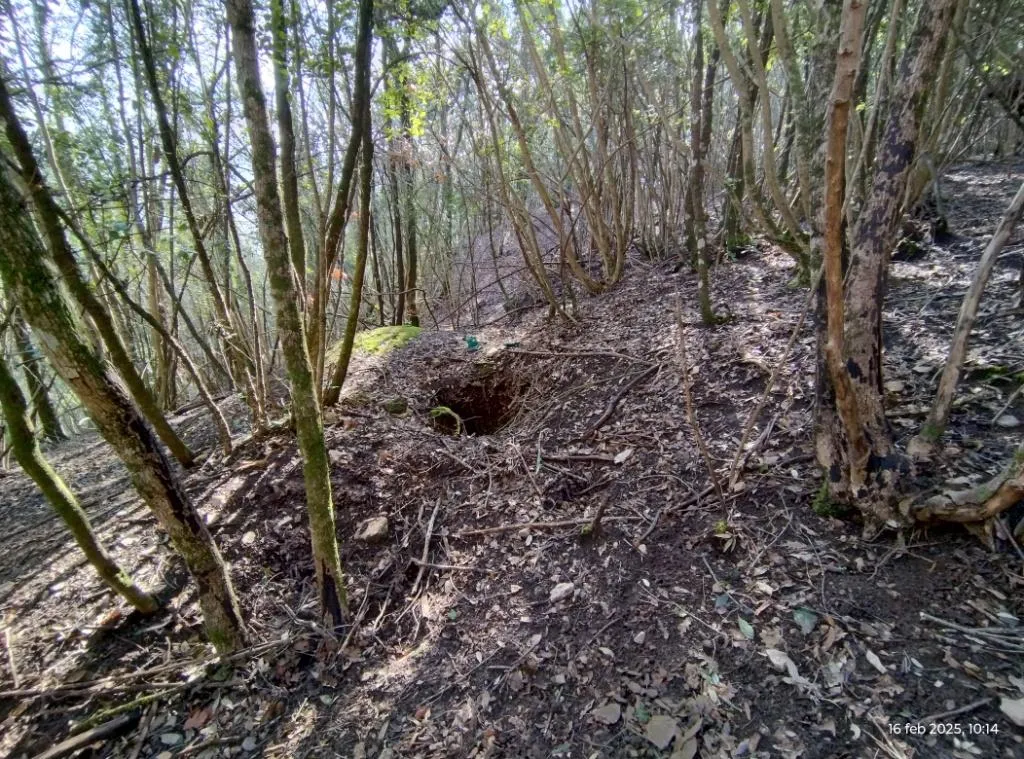
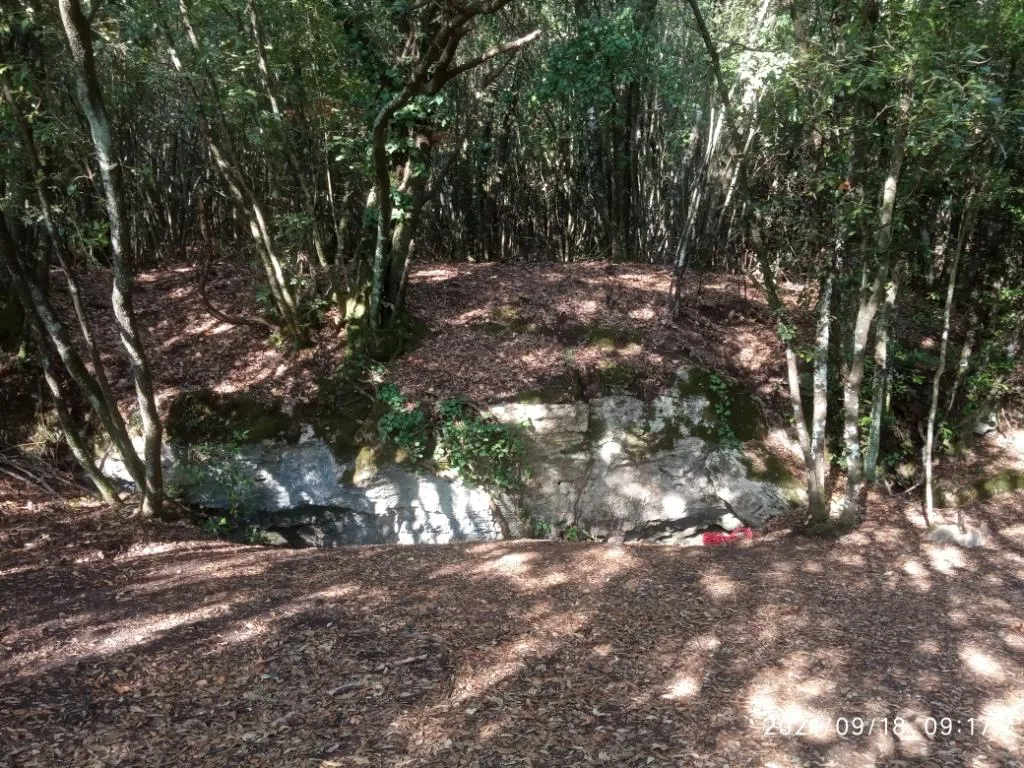
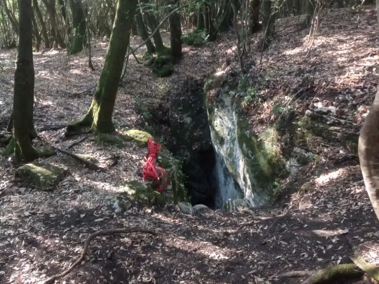
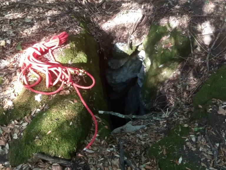
Vertical cavity with an 8-metre pit ending in a fissure with loose earthy floor, accessible through a small 50 cm diameter hole in the flat ground among the trees.
EspeleoWorld
Pozzo del Falcetto di Sandro
Vertical cavity with an 8-metre pit ending in a fissure with loose earthy floor, accessible through a small 50 cm diameter hole in the flat ground among the trees.
Orvieto
长度: 3 m · 深度: 8 m
最新资料
https://espeleoworld.com/zh/c/pozzo-del-falcetto-di-sandro-orvieto-terni
信息可能会变化。出发前请务必核对坐标、通行情况、天气和洞穴状况。
Vertical cavity with an 8-metre pit ending in a fissure with loose earthy floor, accessible through a small 50 cm diameter hole in the flat ground among the trees.
照片
© Mauro Barbieri · LicenseRef-FUGS-media-per-item · Federazione Umbra Gruppi Speleologici (FUGS), Catasto Speleologico dell'Umbria · https://catasto.fugs.it/index.php?mod=caves&op=view&id=918
描述
形态
8-metre pit ending in a fissure with loose earthy floor. Vertical trend.
行进路线
Demanding traversability; recommended period all year round. Rigging required. Progression difficulty: pits, narrow passages. Hazards: dangerous access, landslides/collapses, pits that discharge.
其他详情
Geology: between carbonate and travertine deposits - Quaternary (Pleistocene - Holocene); Travertines; massive.
用户评论 (0)
暂无评论。
成为第一个分享体验的人!
已记录的探索 (0)
暂无探索记录。
记录您对这个洞穴的访问!
附近洞穴

来源:Catasto Cavità Umbria (Federazione Umbra Gruppi Speleologici, FUGS)(catasto.fugs.it),已修改。 LicenseRef-FUGS-no-licence-stated Federazione Umbra Gruppi Speleologici (FUGS), Catasto Speleologico dell'Umbria · https://catasto.fugs.it/index.php?mod=caves&op=view&id=918 · 2025年数据 · 来源:Catasto Cavità Umbria (Federazione Umbra Gruppi Speleologici, FUGS)(catasto.fugs.it),已修改。 LicenseRef-FUGS-media-per-item Federazione Umbra Gruppi Speleologici (FUGS), Catasto Speleologico dell'Umbria · 2025年数据