
Höhle am Hoeling
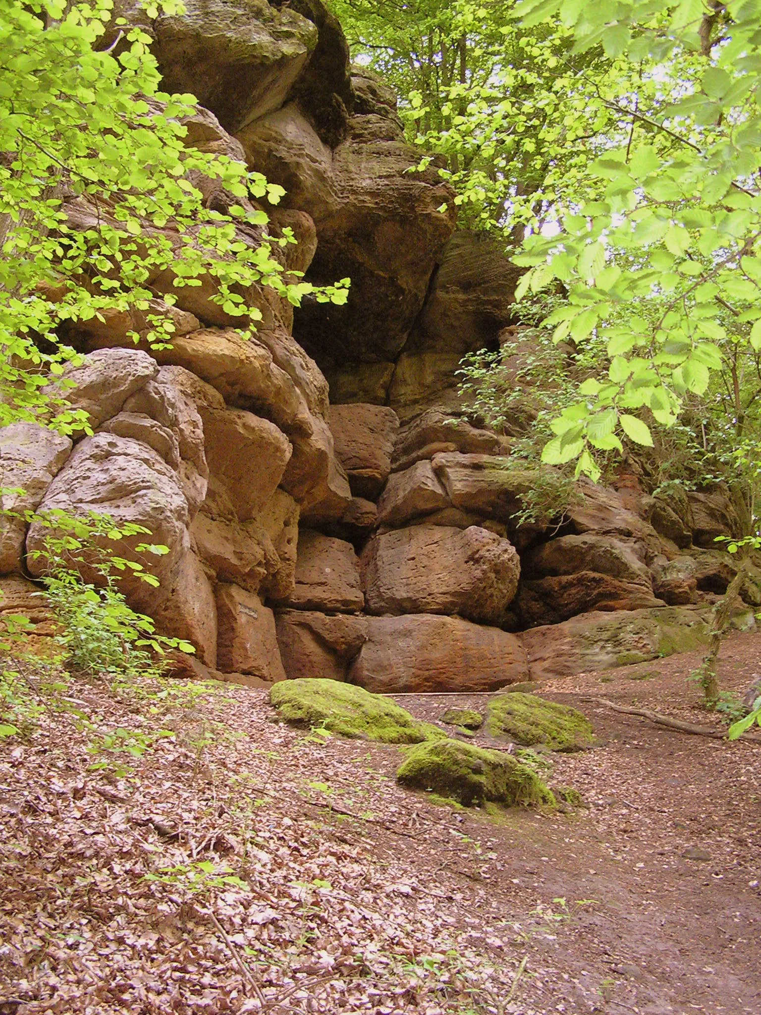
A cave about 15 m wide, 20 m deep and 10 -15 m high (hohe Höhle) is cut into the wall of an abandoned quarry at the southwest foot of the Hoeling mountain.
EspeleoWorld
Höhle am Hoeling
A cave about 15 m wide, 20 m deep and 10 -15 m high (hohe Höhle) is cut into the wall of an abandoned quarry at the southwest foot of the Hoeling mountain.
Marsberg
最新资料
https://espeleoworld.com/zh/c/hoehle-am-hoeling-marsberg
信息可能会变化。出发前请务必核对坐标、通行情况、天气和洞穴状况。
A cave about 15 m wide, 20 m deep and 10 -15 m high (hohe Höhle) is cut into the wall of an abandoned quarry at the southwest foot of the Hoeling mountain.
描述
形态
A large cave is cut into the approximately 200 m long, 25 m high quarry wall (dimensions about 15 m wide, 20 m deep, 10 -15 m high). On the floor of the cave lies a roughly 1.5 -2 m high mound of collapse material (ceiling collapse). The quarry is heavily overgrown in the eastern part, and overall slightly littered.
其他详情
In the quarry and in the cave, bedded Zechstein limestones (Straßfurt sequence or z2) are exposed. The cave was fenced off (steel mats and barbed wire); the barrier has meanwhile been cut through several times. Fire pits and old sleeping bags bear witness to occasional overnight visitors. There are also several fire pits in the western part of the quarry.
用户评论 (0)
暂无评论。
成为第一个分享体验的人!
已记录的探索 (0)
暂无探索记录。
记录您对这个洞穴的访问!
附近洞穴

来源:Geotopkataster Nordrhein-Westfalen (Geologischer Dienst NRW)(ogc-api.nrw.de),已修改。 Data licence Germany – attribution – version 2.0 (dl-de/by-2-0), https://www.govdata.de/dl-de/by-2-0 Geowissenschaftliche Daten: INSP-GeotopeinNRW @ Geologischer Dienst NRW · 2026年数据