

Grubschwart Stollen
The Grubschwart is a Höhlensystem (cave system) in the southern part of the Franconian Jura that was opened up and altered by mining activities in the 19th century.
EspeleoWorld
Grubschwart Stollen
The Grubschwart is a Höhlensystem (cave system) in the southern part of the Franconian Jura that was opened up and altered by mining activities in the 19th century.
Raitenbuch
长度: 1000 m
最新资料
https://espeleoworld.com/zh/c/grubschwart-stollen-raitenbuch
信息可能会变化。出发前请务必核对坐标、通行情况、天气和洞穴状况。
The Grubschwart is a Höhlensystem (cave system) in the southern part of the Franconian Jura that was opened up and altered by mining activities in the 19th century.
照片
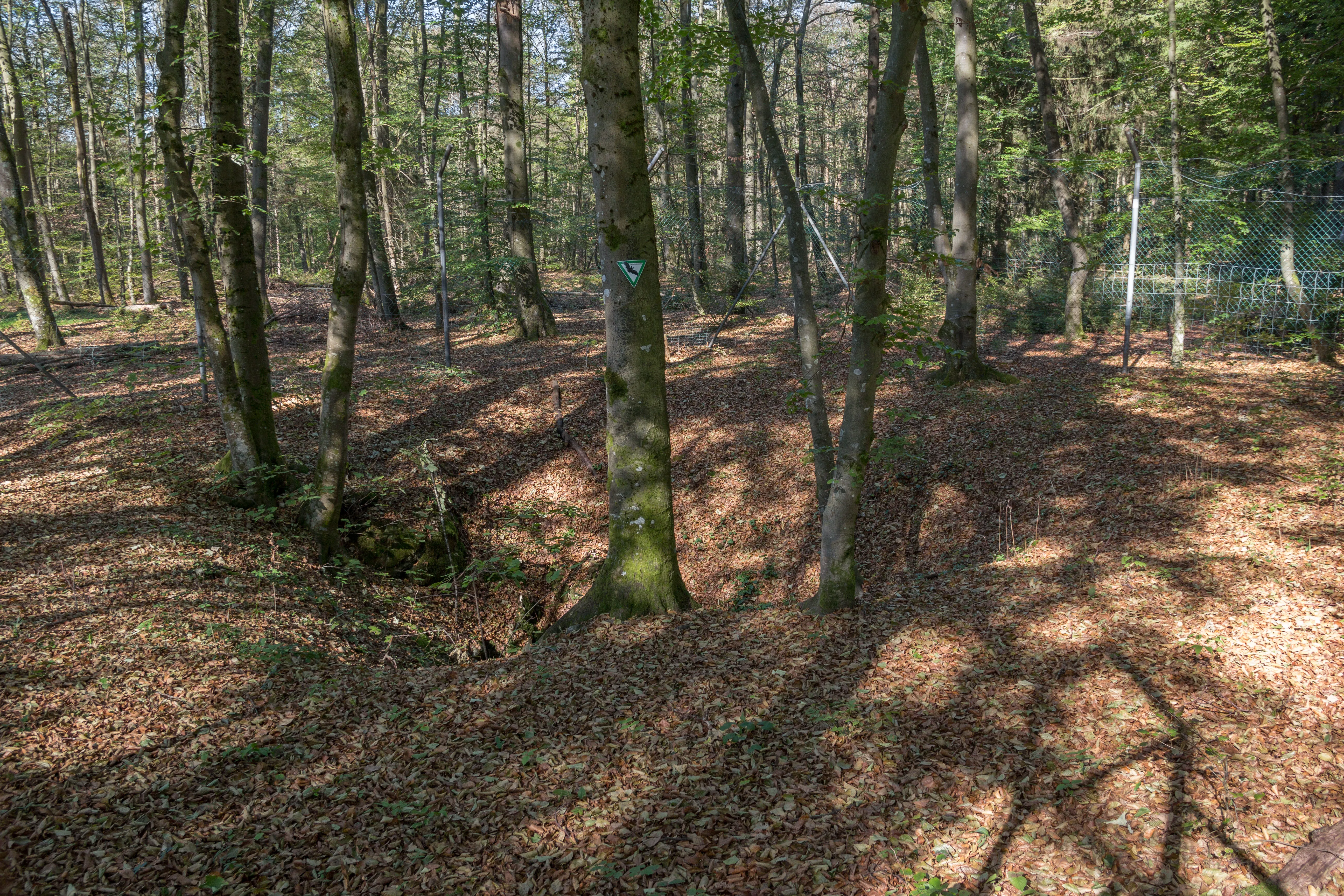
© Derzno · CC BY-SA 3.0, https://creativecommons.org/licenses/by-sa/3.0/ · Wikimedia Commons · https://commons.wikimedia.org/wiki/File:Grubschwart_Stolleneingang_02.jpg
描述
其他详情
The Grubschwart is a Höhlensystem (cave system) in the southern part of the Franconian Jura.
历史
The Grubschwart was opened up and altered by mining activities in the 19th century.
用户评论 (0)
暂无评论。
成为第一个分享体验的人!
已记录的探索 (0)
暂无探索记录。
记录您对这个洞穴的访问!
附近洞穴

包含来自 © OpenStreetMap contributors(www.openstreetmap.org)的信息,依据开放数据库许可协议(Open Database License,ODbL 1.0, https://opendatacommons.org/licenses/odbl/1-0/)提供,已修改。 · https://www.openstreetmap.org/node/2739896047 · 2026年数据 · 来源:Wikidata – cave items (Germany)(www.wikidata.org),已修改。 CC0 1.0, https://creativecommons.org/publicdomain/zero/1.0/ Wikidata (CC0 1.0) · 长度, 名称 · 获取于 2026-11-13 · 2026年数据 · 来源:German Wikipedia – article leads (cave descriptions)(de.wikipedia.org),已修改。 CC BY-SA 4.0, https://creativecommons.org/licenses/by-sa/4.0/ Wikipedia contributors (de.wikipedia.org), CC BY-SA 4.0 · 文本作者:Wikipedia contributors (Grubschwart) · 由 Espeleoworld 改编(规范化、翻译);改编内容依据 CC BY-SA 4.0, https://creativecommons.org/licenses/by-sa/4.0/ 许可 · 描述 · 获取于 2026-11-13 · https://de.wikipedia.org/wiki/Grubschwart · 2026年数据 · 衍生数据可应要求依据 ODbL 提供: [email protected]