
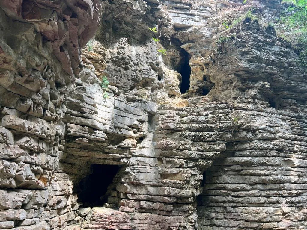
Grotta Fosso del Curso
Cavity in the Fosso del Curso with a surveyed development of 19.50 m and a positive height difference of 4.50 m, with an ascending/descending trend and demanding traversability.
EspeleoWorld
Grotta Fosso del Curso
Cavity in the Fosso del Curso with a surveyed development of 19.50 m and a positive height difference of 4.50 m, with an ascending/descending trend and demanding traversability.
San Venanzo
长度: 23 m · 深度: 4 m
最新资料
https://espeleoworld.com/zh/c/grotta-fosso-del-curso-san-venanzo-terni
信息可能会变化。出发前请务必核对坐标、通行情况、天气和洞穴状况。
Cavity in the Fosso del Curso with a surveyed development of 19.50 m and a positive height difference of 4.50 m, with an ascending/descending trend and demanding traversability.
照片
© Mauro Barbieri · LicenseRef-FUGS-media-per-item · Federazione Umbra Gruppi Speleologici (FUGS), Catasto Speleologico dell'Umbria · https://catasto.fugs.it/index.php?mod=caves&op=view&id=369
描述
形态
Cavity with a surveyed development of 19.50 m, with a positive height difference equal to 4.50 m. Trend: Ascending/Descending.
水文
Water difficulties: Watercourses. Traversability: Demanding; recommended period No with precipitation. Hazards: Dangerous access, Landslides/collapses, Floods/inundations.
行进路线
Rigging: Temporary. Progression difficulty: Drops, Slides, Traverses, Ascents.
其他详情
Geology: SAA Scaglia Rossa - Upper Cretaceous-Middle Eocene (Turonian-Lutetian); Stratified micritic limestones; Stratified.
历史
Notes on the name: It takes its name from the stream where it is located.
用户评论 (0)
暂无评论。
成为第一个分享体验的人!
已记录的探索 (0)
暂无探索记录。
记录您对这个洞穴的访问!
附近洞穴
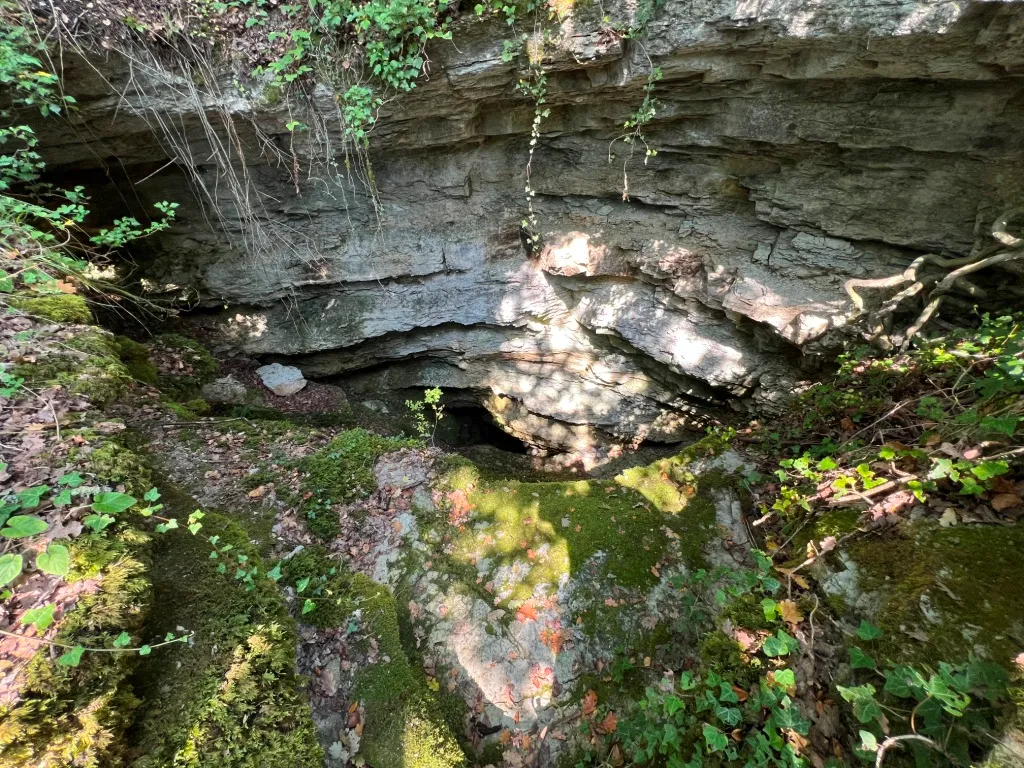
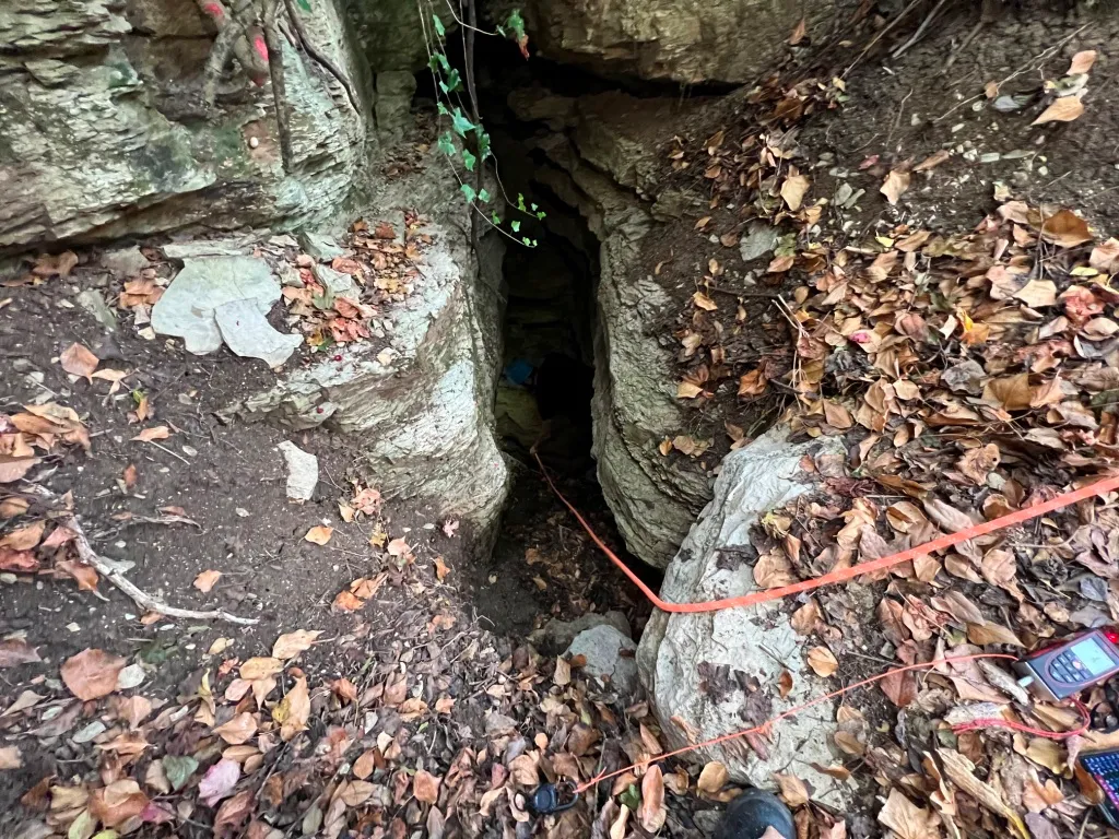
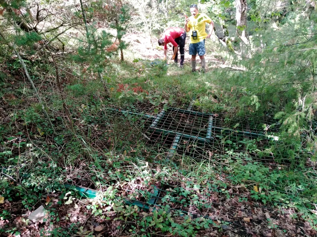

来源:Catasto Cavità Umbria (Federazione Umbra Gruppi Speleologici, FUGS)(catasto.fugs.it),已修改。 LicenseRef-FUGS-no-licence-stated Federazione Umbra Gruppi Speleologici (FUGS), Catasto Speleologico dell'Umbria · https://catasto.fugs.it/index.php?mod=caves&op=view&id=369 · 2025年数据 · 来源:Catasto Cavità Umbria (Federazione Umbra Gruppi Speleologici, FUGS)(catasto.fugs.it),已修改。 LicenseRef-FUGS-media-per-item Federazione Umbra Gruppi Speleologici (FUGS), Catasto Speleologico dell'Umbria · 2025年数据