
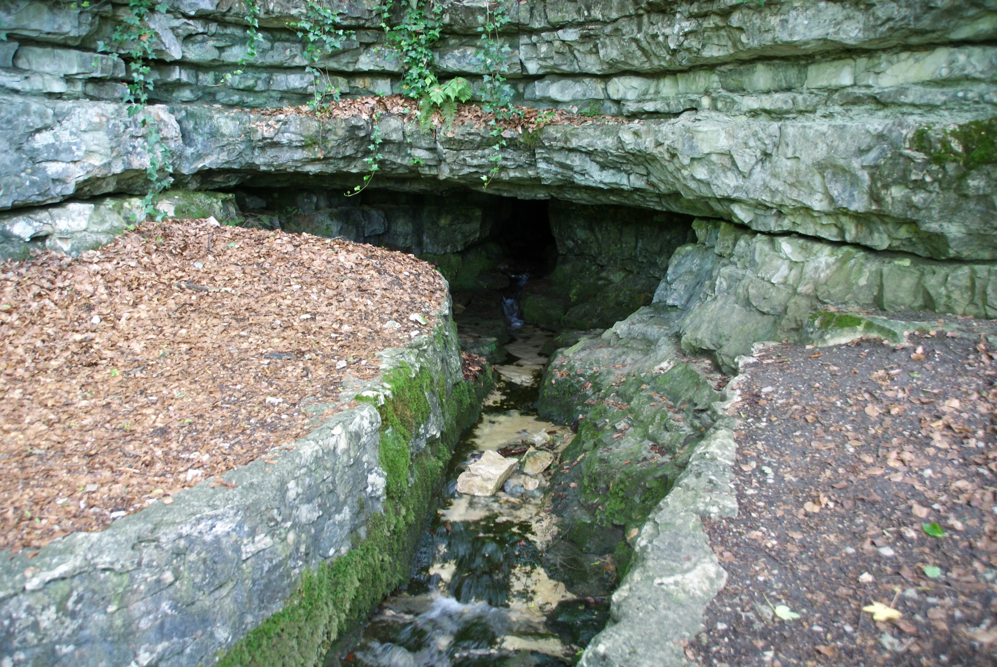
Brunnensteighöhle
The Brunnensteighöhle is a water-bearing cave on the northern Albtrauf near Aufhausen.
EspeleoWorld
Brunnensteighöhle
The Brunnensteighöhle is a water-bearing cave on the northern Albtrauf near Aufhausen.
Bad Überkingen
最新资料
https://espeleoworld.com/zh/c/brunnensteighoehle-bad-ueberkingen
信息可能会变化。出发前请务必核对坐标、通行情况、天气和洞穴状况。
The Brunnensteighöhle is a water-bearing cave on the northern Albtrauf near Aufhausen.
照片
© Karle3 · CC BY-SA 4.0, https://creativecommons.org/licenses/by-sa/4.0/ · Wikimedia Commons · https://commons.wikimedia.org/wiki/File:Brunnensteighoehle-20160703a.jpg
描述
水文
The cave is water-bearing; the spring feeds the Autalbach via cascades, which flows into the Fils near Bad Überkingen.
其他详情
The cave is protected as a geotope under the name Brunnensteighöhle with waterfall.
用户评论 (0)
暂无评论。
成为第一个分享体验的人!
已记录的探索 (0)
暂无探索记录。
记录您对这个洞穴的访问!
附近洞穴
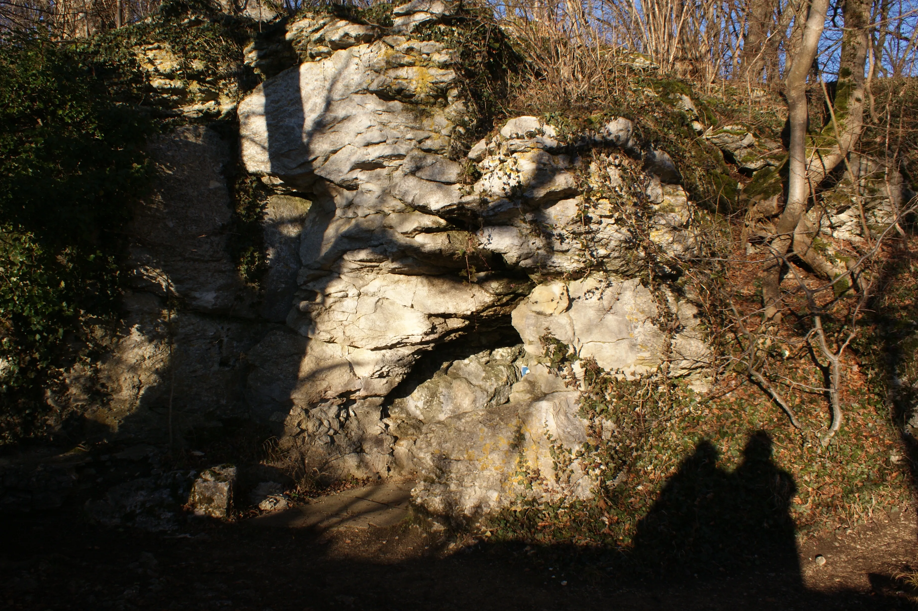

来源:Geotopkataster Baden-Württemberg (Regierungspräsidium Freiburg – LGRB)(services.lgrb-bw.de),已修改。 Data licence Germany – attribution – version 2.0 (dl-de/by-2-0), https://www.govdata.de/dl-de/by-2-0 Datenquelle: Regierungspräsidium Freiburg - LGRB, www.lgrb-bw.de · 2026年数据 · 来源:Wikidata – cave items (Germany)(www.wikidata.org),已修改。 CC0 1.0, https://creativecommons.org/publicdomain/zero/1.0/ Wikidata (CC0 1.0) · 2026年数据 · 来源:German Wikipedia – article leads (cave descriptions)(de.wikipedia.org),已修改。 CC BY-SA 4.0, https://creativecommons.org/licenses/by-sa/4.0/ Wikipedia contributors (de.wikipedia.org), CC BY-SA 4.0 · 文本作者:Wikipedia contributors (Brunnensteighöhle) · 由 Espeleoworld 改编(规范化、翻译);改编内容依据 CC BY-SA 4.0, https://creativecommons.org/licenses/by-sa/4.0/ 许可 · 描述 · 获取于 2026-11-13 · https://de.wikipedia.org/wiki/Brunnensteigh%C3%B6hle · 2026年数据