
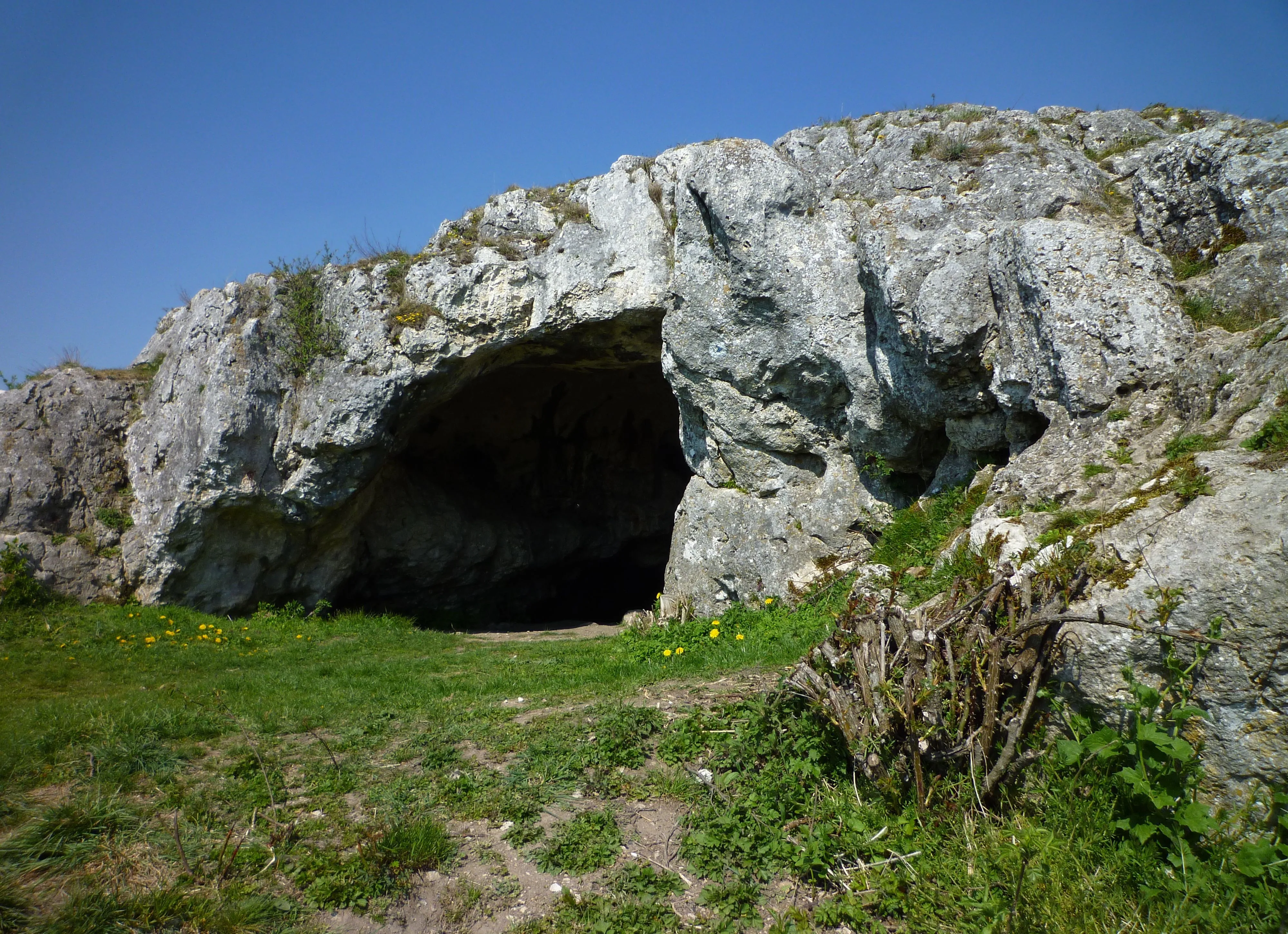
Ofnethöhlen
The Ofnethöhlen are natural karst caves near Holheim, a district of Nördlingen in the Donau-Ries district of Bavaria.
EspeleoWorld
Ofnethöhlen
The Ofnethöhlen are natural karst caves near Holheim, a district of Nördlingen in the Donau-Ries district of Bavaria.
Nördlingen
Актуальная запись
https://espeleoworld.com/ru/c/ofnethoehlen-noerdlingen
Информация может меняться. Перед выходом всегда проверяйте координаты, доступ, погоду и состояние пещеры.
The Ofnethöhlen are natural karst caves near Holheim, a district of Nördlingen in the Donau-Ries district of Bavaria.
Фотографии

© Franzfoto · CC BY-SA 3.0, https://creativecommons.org/licenses/by-sa/3.0/ · Wikimedia Commons · https://commons.wikimedia.org/wiki/File:N%C3%B6rdlingen_-_Ofneth%C3%B6hle_auf_dem_Riegelberg_02.jpg
Описание
Морфология
The Ofnethöhlen are the remains of an underground karst system on the crater rim of the Nördlinger Ries. In the cave register Fränkische Alb (HFA) they are registered as M 7 (Große Ofnethöhle) and M 8 (Kleine Ofnethöhle). The caves, including the immediate surroundings (a total of approx. 8 hectares), are also classified as the nature reserve „Ofnethöhlen bei Holheim“.
Другие сведения
The origin of the term „Ofnet“ is not documented.
История
Archaeological finds indicate that the caves were inhabited from the Middle Paleolithic to the Mesolithic. The Ofnethöhlen gained supraregional significance when Stone Age skull burials were discovered in the year 1908.
Комментарии пользователей (0)
Комментариев пока нет.
Станьте первым, кто поделится своим опытом!
Зарегистрированные исследования (0)
Зарегистрированных исследований пока нет.
Зарегистрируйте свое посещение этой пещеры!
Ближайшие пещеры
Источник: Geotopkataster Bayern (Bayerisches Landesamt für Umwelt) (www.umweltatlas.bayern.de), с изменениями. CC BY 4.0, https://creativecommons.org/licenses/by/4.0/ Datenquelle: Bayerisches Landesamt für Umwelt, www.lfu.bayern.de · https://www.umweltatlas.bayern.de/mapapps/resources/reports/sb_geotope/generateBericht.pdf?additionallayerfieldvalue=779H001 · данные на 2026 г. · Содержит информацию из © OpenStreetMap contributors, www.openstreetmap.org, предоставленную по лицензии Open Database License (ODbL 1.0, https://opendatacommons.org/licenses/odbl/1-0/), с изменениями. · названия · получено 2026-11-13 · https://www.openstreetmap.org/node/356052506 · данные на 2026 г. · Источник: Wikidata – cave items (Germany) (www.wikidata.org), с изменениями. CC0 1.0, https://creativecommons.org/publicdomain/zero/1.0/ Wikidata (CC0 1.0) · названия · получено 2026-11-13 · данные на 2026 г. · Источник: German Wikipedia – article leads (cave descriptions) (de.wikipedia.org), с изменениями. CC BY-SA 4.0, https://creativecommons.org/licenses/by-sa/4.0/ Wikipedia contributors (de.wikipedia.org), CC BY-SA 4.0 · Текст: Wikipedia contributors (Ofnethöhlen) · адаптировано Espeleoworld (нормализовано, переведено); адаптация распространяется по лицензии CC BY-SA 4.0, https://creativecommons.org/licenses/by-sa/4.0/ · описание · получено 2026-11-13 · https://de.wikipedia.org/wiki/Ofneth%C3%B6hlen · данные на 2026 г. · Производные данные доступны по запросу на условиях ODbL: [email protected]