
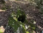
Grotta Voltelle
Narrow horizontal joint, accessible via a small shaft, in a natural setting with a semicircular opening in the ground in the middle of the woods.
EspeleoWorld
Grotta Voltelle
Narrow horizontal joint, accessible via a small shaft, in a natural setting with a semicircular opening in the ground in the middle of the woods.
Stroncone
Длина: 10 m · Глубина: 4 m
Актуальная запись
https://espeleoworld.com/ru/c/grotta-voltelle-stroncone-terni
Информация может меняться. Перед выходом всегда проверяйте координаты, доступ, погоду и состояние пещеры.
Narrow horizontal joint, accessible via a small shaft, in a natural setting with a semicircular opening in the ground in the middle of the woods.
Фотографии
© Mario Giacomini · LicenseRef-FUGS-media-per-item · Federazione Umbra Gruppi Speleologici (FUGS), Catasto Speleologico dell'Umbria · https://catasto.fugs.it/index.php?mod=caves&op=view&id=492
Описание
Морфология
Narrow joint accessed via a small shaft. Orientation: horizontal.
Гидрология
Hydrology and meteorology: absorbent.
Прохождение
Traversability: easy; recommended period all year round. Rigging: temporary; simple anchor on a tree.
Другие сведения
Geology: CDU1 Calcari Diasprigni - Middle-Upper Jurassic (Callovian-Tithonian); CDU2 Calcari a Saccoma ed Aptici - Upper Jurassic (Kimmeridgian-Tithonian); cherty limestones; stratified; inclined; widespread; Calcari Diasprigni; calcari diasprigni.
История
Protection of historical-archaeological sites: no. Cadastral chronology: Fiorello Bevilacqua, first cadastral surveyor 1975.
Биология
Environmental and biological protections: no.
Комментарии пользователей (0)
Комментариев пока нет.
Станьте первым, кто поделится своим опытом!
Зарегистрированные исследования (0)
Зарегистрированных исследований пока нет.
Зарегистрируйте свое посещение этой пещеры!
Ближайшие пещеры
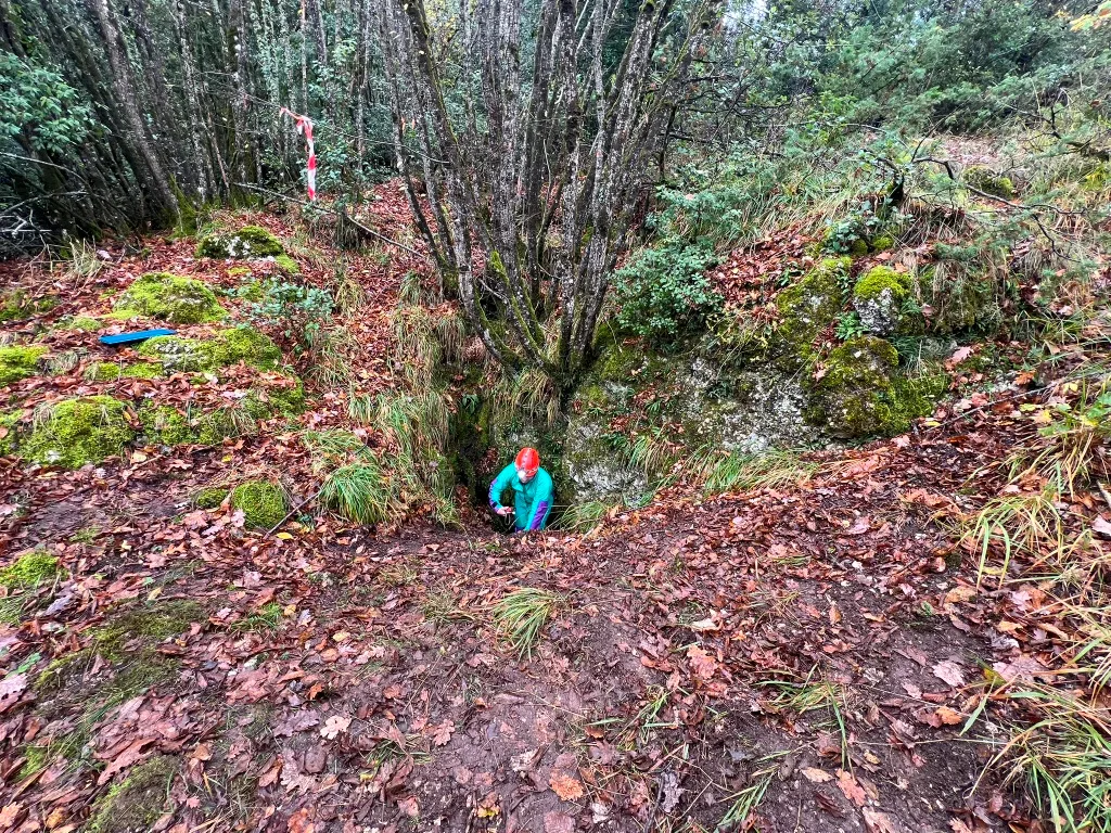
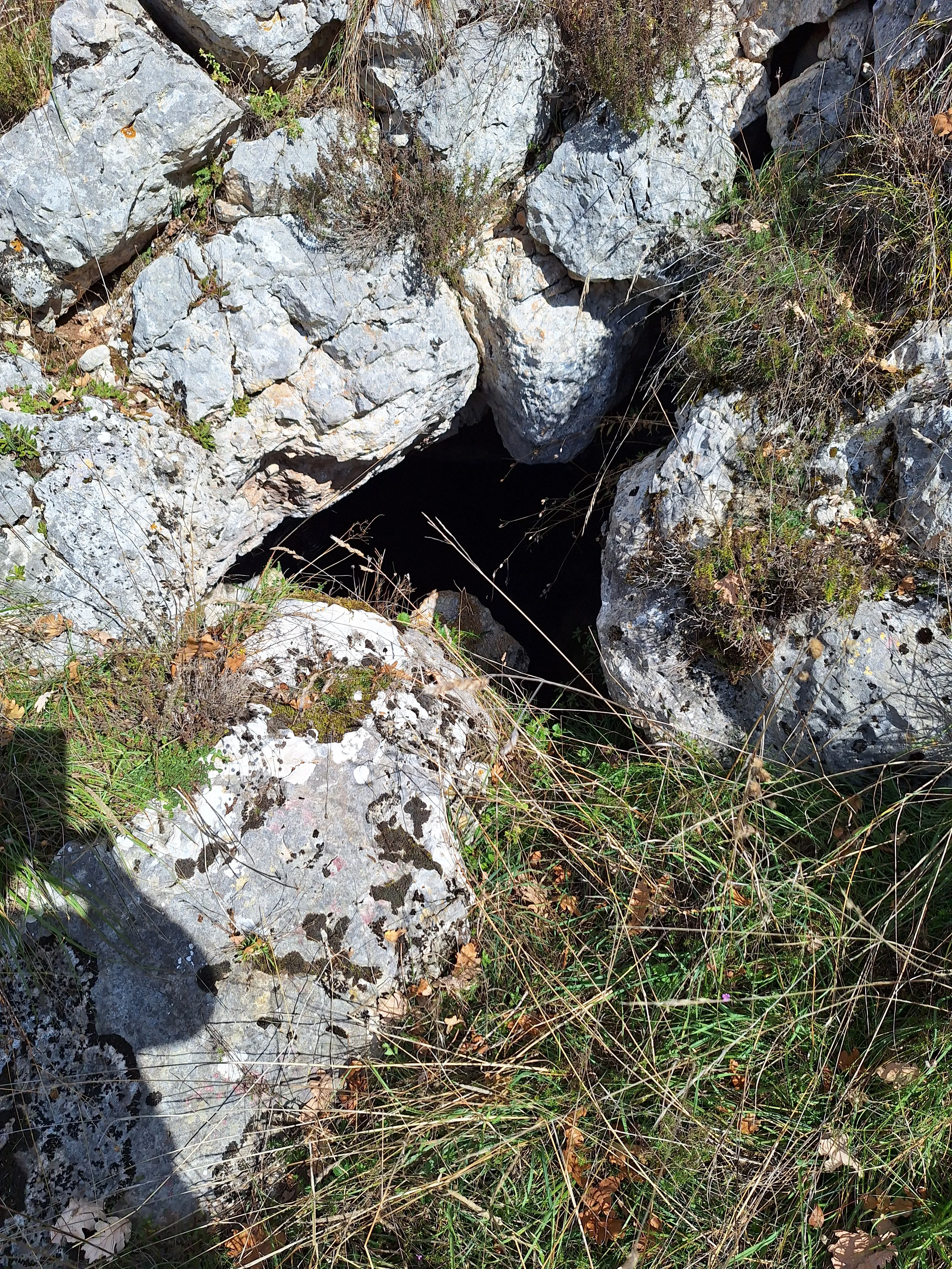

Источник: Catasto Cavità Umbria (Federazione Umbra Gruppi Speleologici, FUGS) (catasto.fugs.it), с изменениями. LicenseRef-FUGS-no-licence-stated Federazione Umbra Gruppi Speleologici (FUGS), Catasto Speleologico dell'Umbria · https://catasto.fugs.it/index.php?mod=caves&op=view&id=492 · данные на 2025 г. · Источник: Catasto Cavità Umbria (Federazione Umbra Gruppi Speleologici, FUGS) (catasto.fugs.it), с изменениями. LicenseRef-FUGS-media-per-item Federazione Umbra Gruppi Speleologici (FUGS), Catasto Speleologico dell'Umbria · данные на 2025 г.