
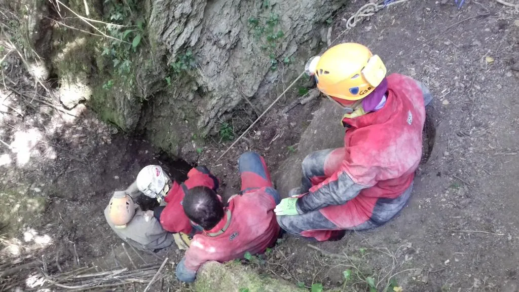
Buca delle Mani Cucite
Worked sinkhole of about -10 m, discovered in 2018, opening on the bottom of a fairly large doline and ending blocked by clayey-marly sediments.
EspeleoWorld
Buca delle Mani Cucite
Worked sinkhole of about -10 m, discovered in 2018, opening on the bottom of a fairly large doline and ending blocked by clayey-marly sediments.
San Lazzaro di Savena
Длина: 11 m · Глубина: 10 m
Актуальная запись
https://espeleoworld.com/ru/c/buca-delle-mani-cucite-san-lazzaro-di-savena
Информация может меняться. Перед выходом всегда проверяйте координаты, доступ, погоду и состояние пещеры.
Worked sinkhole of about -10 m, discovered in 2018, opening on the bottom of a fairly large doline and ending blocked by clayey-marly sediments.
Топография
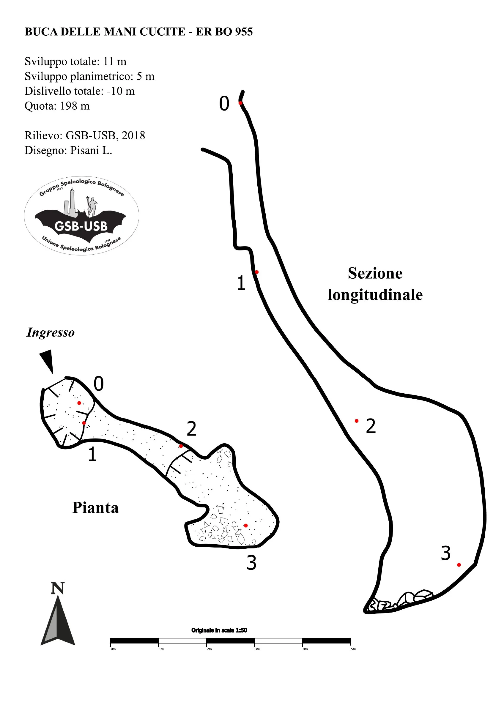

© Gruppo Speleologico Bolognese · CC BY-NC-SA 2.5 IT, https://creativecommons.org/licenses/by-nc-sa/2.5/it/ · Federazione Speleologica dell'Emilia-Romagna, http://www.fsrer.it · https://geo.regione.emilia-romagna.it/schede/speleo/index.jsp?id=955
Фотографии

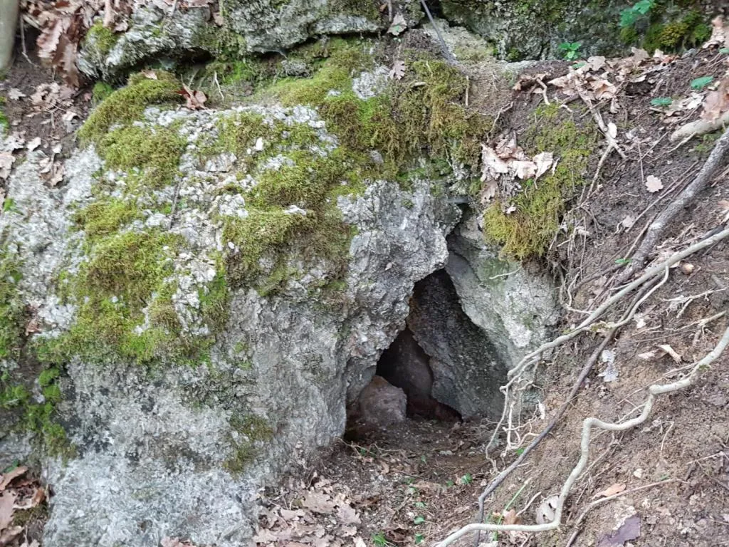
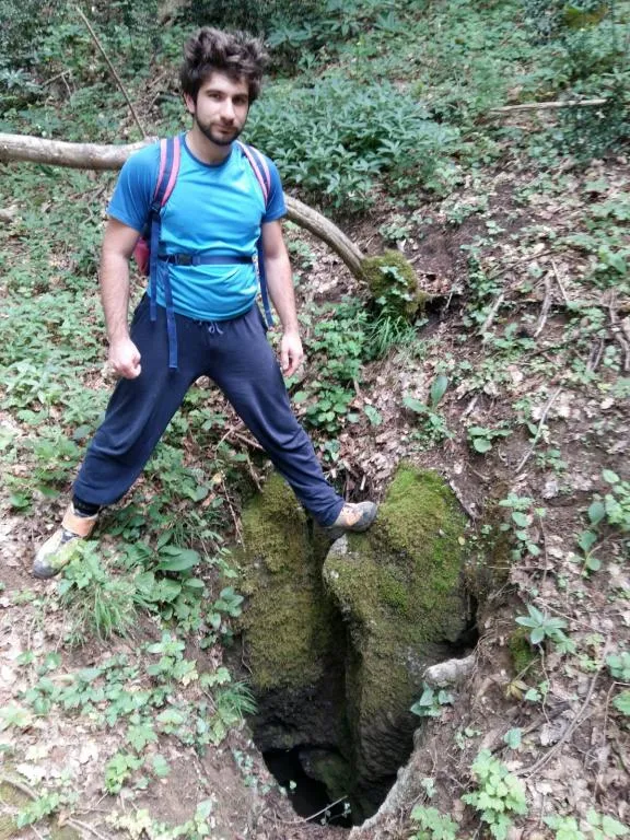
© Gruppo Speleologico Bolognese · CC BY-NC-SA 2.5 IT, https://creativecommons.org/licenses/by-nc-sa/2.5/it/ · Federazione Speleologica dell'Emilia-Romagna, http://www.fsrer.it · https://geo.regione.emilia-romagna.it/schede/speleo/index.jsp?id=955
Описание
Морфология
The cavity presents itself as a worked sinkhole of about -10 m. The passages at the bottom suggest the presence of a fairly large meander, unfortunately completely blocked by clayey-marly sediments.
Другие сведения
As of 2020, the cavity is partially occluded and a landslide of debris and logs weighs on the entrance. The tag was installed on the rock walls along the descent of the doline leading to the entrance, so as to remain visible even in the event of complete occlusion of the initial portal.
История
Sinkhole discovered in 2018 by GSB-USB.
Комментарии пользователей (0)
Комментариев пока нет.
Станьте первым, кто поделится своим опытом!
Зарегистрированные исследования (0)
Зарегистрированных исследований пока нет.
Зарегистрируйте свое посещение этой пещеры!
Ближайшие пещеры
Inghiottitoio di Fondo Dolina di Goibola
0.2 км · Ю
San Lazzaro di Savena
Топо: 1Фото: 1
Grotta della Santa
0.2 км · ЮВ
San Lazzaro di Savena
Топо: 1Фото: 1
Grotticella Greenpepper
0.2 км · ЮВ
San Lazzaro di Savena
Топо: 1Фото: 1
Grotticella dell'Intelligenza ad Est della 878
0.3 км · ЮВ
San Lazzaro di Savena
Топо: 1Фото: 1
Источник: Catasto delle cavità naturali dell'Emilia-Romagna (Regione Emilia-Romagna, Federazione Speleologica Regionale dell'Emilia-Romagna) (servizigis.regione.emilia-romagna.it), с изменениями. CC BY 4.0, https://creativecommons.org/licenses/by/4.0/ Regione Emilia-Romagna, Catasto delle cavità naturali dell'Emilia-Romagna, Federazione Speleologica Regionale dell'Emilia-Romagna (FSRER) e i gruppi speleologici autori dei rilievi · данные на 2018 г. · Источник: Catasto delle cavità naturali dell'Emilia-Romagna (Regione Emilia-Romagna, Federazione Speleologica Regionale dell'Emilia-Romagna) (servizigis.regione.emilia-romagna.it), с изменениями. CC BY-NC-SA 2.5 IT, https://creativecommons.org/licenses/by-nc-sa/2.5/it/ Federazione Speleologica dell'Emilia-Romagna, http://www.fsrer.it · Regione Emilia-Romagna, Catasto delle cavità naturali dell'Emilia-Romagna, e i gruppi speleologici autori dei rilievi · данные на 2018 г.