
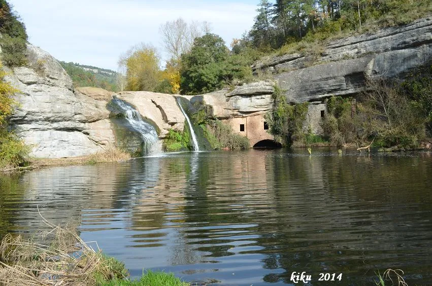
Balma del Molí de Brotons
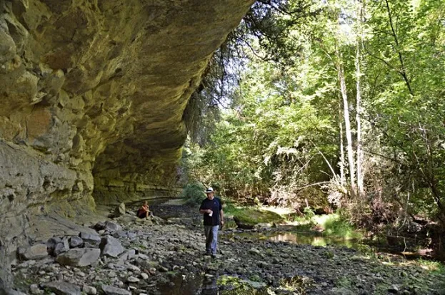
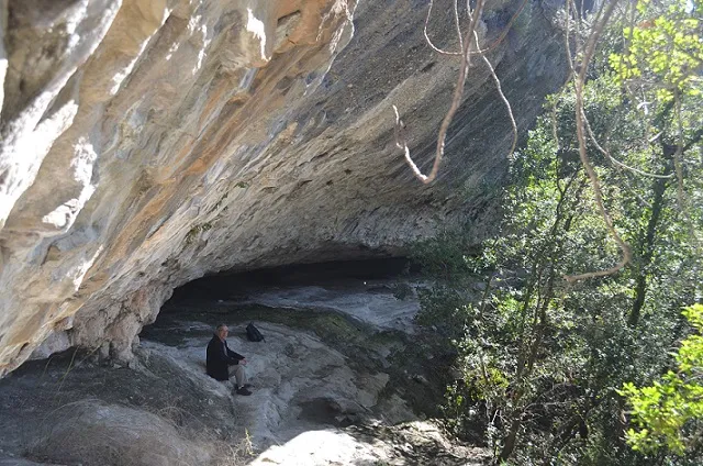
A 7-metre-deep rock shelter on the riera de Marfà, in Castellcir, largely occupied by the construction of the Molí de Brotons.
EspeleoWorld
Balma del Molí de Brotons
A 7-metre-deep rock shelter on the riera de Marfà, in Castellcir, largely occupied by the construction of the Molí de Brotons.
Castellcir · Moianès
Длина: 7 m
Актуальная запись
https://espeleoworld.com/ru/c/balma-del-moli-de-brotons
Информация может меняться. Перед выходом всегда проверяйте координаты, доступ, погоду и состояние пещеры.
A 7-metre-deep rock shelter on the riera de Marfà, in Castellcir, largely occupied by the construction of the Molí de Brotons.
Топография
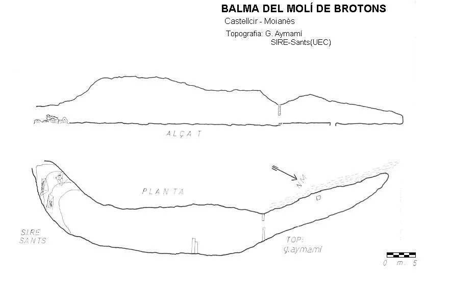
Espeleoindex · CC BY-NC 4.0, https://creativecommons.org/licenses/by-nc/4.0/ · Изображение © автора.
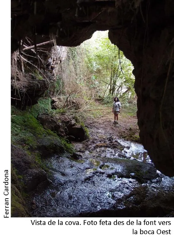
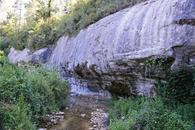
Фотографии
Espeleoindex · CC BY-NC 4.0, https://creativecommons.org/licenses/by-nc/4.0/ · Изображение © автора.
Описание
Морфология
It is a rock shelter 7 metres deep, with a width of about 60 metres, although a good part of it is occupied by the construction of the mill.
История
It was inhabited and in operation at least from 1608 (when it is named Molí de Brotons o dels Pilars) until the year 1863, when there was an extraordinary flood that swept away a baby with its little wooden bed from inside the mill, and the eight people of the miller's family died there. Since then it has been abandoned.
Комментарии пользователей (0)
Комментариев пока нет.
Станьте первым, кто поделится своим опытом!
Зарегистрированные исследования (0)
Зарегистрированных исследований пока нет.
Зарегистрируйте свое посещение этой пещеры!
Библиография
- Aymamí Domingo, Gener; Pallarès Personat, Joan.(1994).-”Els molins hidràulics del Moianès i de la Riera de Caldes”.Arxiu Bibliogràfic Excursionista de la UEC (31):1-119. Unió Excursionista de Catalunya de Barcelona.
Ближайшие пещеры


Источник: Espeleoindex (espeleoindex.com), с изменениями. CC BY-NC 4.0, https://creativecommons.org/licenses/by-nc/4.0/