
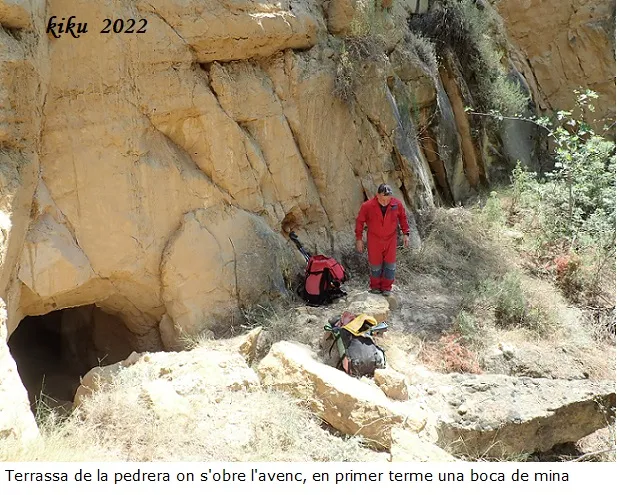
Avenc de la Rendisclera
A collapse pit in Camarasa, in an old quarry. Entrance 5x4 m, shaft -5.46 m, chamber 12x11 m. Total depth -12 m, length 40 m. Part of the cavity is artificial.
EspeleoWorld
Avenc de la Rendisclera
A collapse pit in Camarasa, in an old quarry. Entrance 5x4 m, shaft -5.46 m, chamber 12x11 m. Total depth -12 m, length 40 m. Part of the cavity is artificial.
Camarasa · Noguera
Длина: 40 m · Глубина: 12 m
Актуальная запись
https://espeleoworld.com/ru/c/avenc-de-la-rendisclera
Информация может меняться. Перед выходом всегда проверяйте координаты, доступ, погоду и состояние пещеры.
A collapse pit in Camarasa, in an old quarry. Entrance 5x4 m, shaft -5.46 m, chamber 12x11 m. Total depth -12 m, length 40 m. Part of the cavity is artificial.
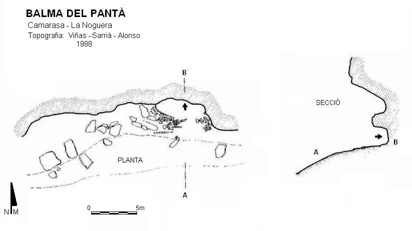
Топография
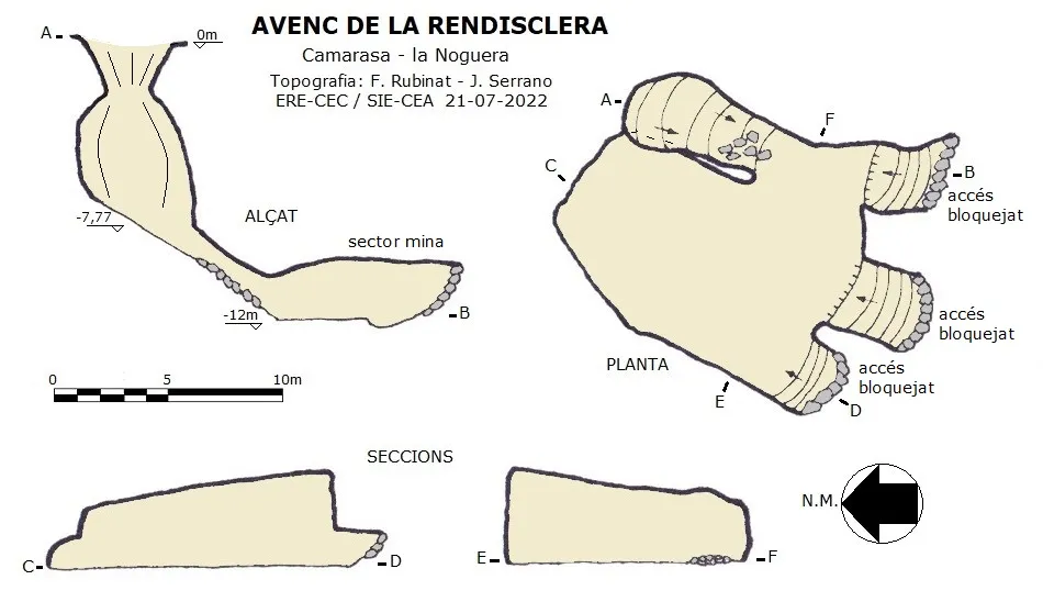
Espeleoindex · CC BY-NC 4.0, https://creativecommons.org/licenses/by-nc/4.0/ · Изображение © автора.
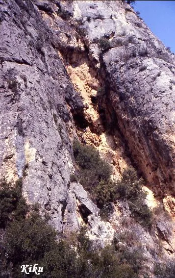
Фотографии
Espeleoindex · CC BY-NC 4.0, https://creativecommons.org/licenses/by-nc/4.0/ · Изображение © автора.
Описание
Морфология
Cavity opened by collapse that is found on the terrace of an old quarry where a small artificial valley has formed, structured between the quarry wall and the slope created by the spoil heap from the extraction of material from the mines. An entrance of 4x5 metres in the shape of a funnel and -2.31 metres places us on the vertical of a bell-shaped shaft of -5.46 metres; at the base a descending ramp leads us to a chamber of 12x11 and 4 metres maximum height, which forms part of the mine that exists on this lower level; the accesses of the three mine galleries that gave access to the chamber are currently collapsed. The total depth is -12 metres and the length 40 metres; part of the cavity is artificial.
Гидрология
This small valley collects a good part of the rainwater that flows down the mountainside located below the Rendisclera de la Maçana and channels it towards the depression that forms the pit. The infiltration of water at this point has been dissolving the lower soft materials; the fact that on a lower level there was a mine gallery has been essential for the whole thing to collapse.
История
The Camarasa dam was built between the years 1917-1924, and to obtain material for the work various quarries were made, above all on the left hydrographic slope. In these quarries the excavation of various mine tunnels was also carried out. The passing of the years (about a hundred) and the vegetation that has grown there have kept this small refuge in anonymity. It was from a publication by Joan Ramon Segura on his blog (excursions del Joan Ramon) that we learned of the existence of this group of mine tunnels and of the presence of the pit.
Комментарии пользователей (0)
Комментариев пока нет.
Станьте первым, кто поделится своим опытом!
Зарегистрированные исследования (0)
Зарегистрированных исследований пока нет.
Зарегистрируйте свое посещение этой пещеры!
Библиография
- Dades i coordenades facilitades per Joan Ramon Segura (CE Lleida). (http://excursionsdeljoanramon.blogspot.com/2021/11/exploracio-pel-canal-1912-camarasa.html).
- Dades, topografia i fotografies facilitades per Juli Serrano (SIE-CEA) i Francesc Rubinat (ERE-CEC).
Ближайшие пещеры


Источник: Espeleoindex (espeleoindex.com), с изменениями. CC BY-NC 4.0, https://creativecommons.org/licenses/by-nc/4.0/