
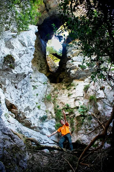
l'Ull de Montmajor
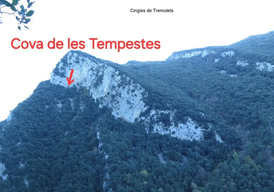
Foradada in the bosc del Quer, near Montmajor, Montagut i Oix.
EspeleoWorld
l'Ull de Montmajor
Foradada in the bosc del Quer, near Montmajor, Montagut i Oix.
Montagut i Oix · Garrotxa
Sviluppo: 35 m · Profondità: 19 m
Scheda aggiornata
https://espeleoworld.com/it/c/l-ull-de-montmajor
Le informazioni possono cambiare. Verifica sempre coordinate, accesso, meteo e condizioni della cavità prima di partire.
Foradada in the bosc del Quer, near Montmajor, Montagut i Oix.
Topografia
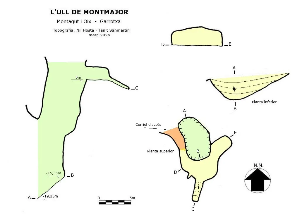
Espeleoindex · CC BY-NC 4.0, https://creativecommons.org/licenses/by-nc/4.0/ · Immagine © del suo autore.
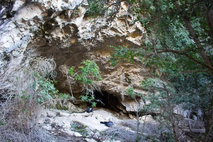
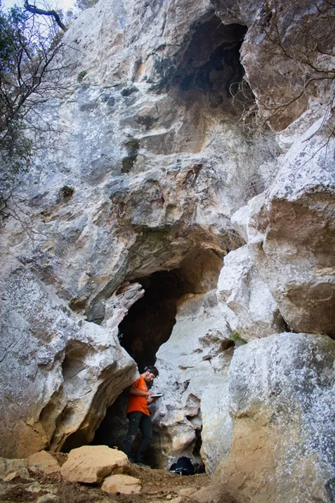
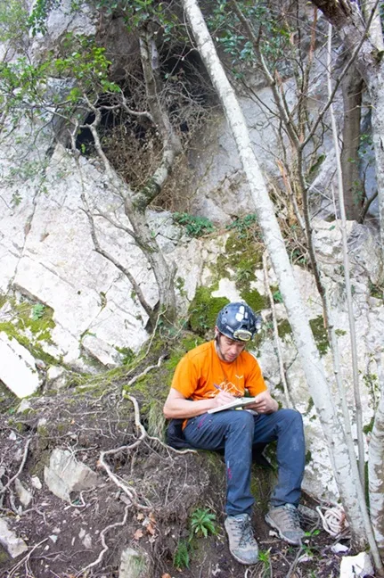
Foto
Espeleoindex · CC BY-NC 4.0, https://creativecommons.org/licenses/by-nc/4.0/ · Immagine © del suo autore.
Descrizione
Morfologia
The Foradada has the shape of a shaft and descends 15 metres to the base in a ramp, covered with vegetation and remains of trees. At the upper part a small cave opens with two short conduits of about 15 metres in length. The total length is 35 metres with a drop of -19.35 m.
Progressione
A small path gives access to the upper part of the Foradada.
Storia
Nil Hosta and Tanit Sanmartin located and explored it in March 2026.
Commenti degli utenti (0)
Nessun commento ancora.
Sii il primo a condividere la tua esperienza!
Esplorazioni registrate (0)
Nessuna esplorazione registrata.
Registra la tua visita a questa grotta!
Bibliografia
Totes les dades, coordenades, topografia i fotografies han estat facilitades per Nil Hosta i Tanit Sanmartin. Abril de 2026.
Grotte vicine


Fonte: Espeleoindex (espeleoindex.com), modificato. CC BY-NC 4.0, https://creativecommons.org/licenses/by-nc/4.0/