
Forat del Parpal
A 9-metre-deep pit in the Far area (Susqueda), with a long tectonic fissure and a narrow vertical shaft.
EspeleoWorld
Forat del Parpal
A 9-metre-deep pit in the Far area (Susqueda), with a long tectonic fissure and a narrow vertical shaft.
Susqueda · Selva
Sviluppo: 25 m · Profondità: 9 m
Scheda aggiornata
https://espeleoworld.com/it/c/forat-del-parpal
Le informazioni possono cambiare. Verifica sempre coordinate, accesso, meteo e condizioni della cavità prima di partire.
A 9-metre-deep pit in the Far area (Susqueda), with a long tectonic fissure and a narrow vertical shaft.
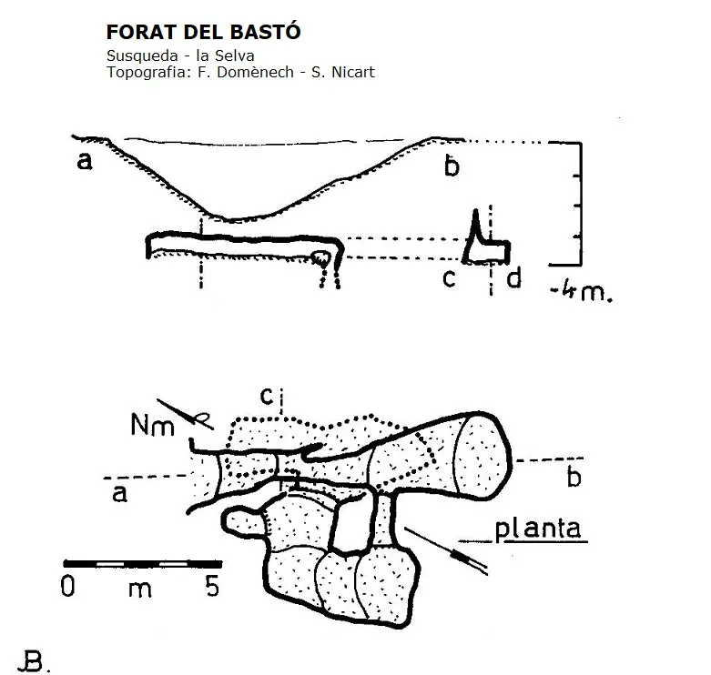
Topografia
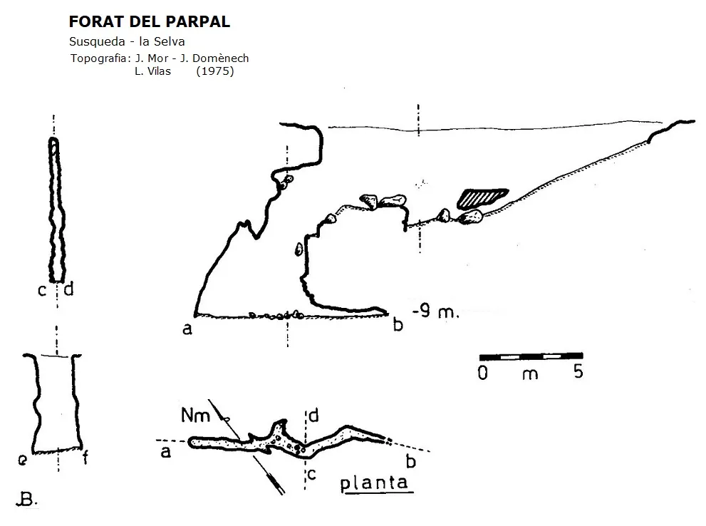
Espeleoindex · CC BY-NC 4.0, https://creativecommons.org/licenses/by-nc/4.0/ · Immagine © del suo autore.
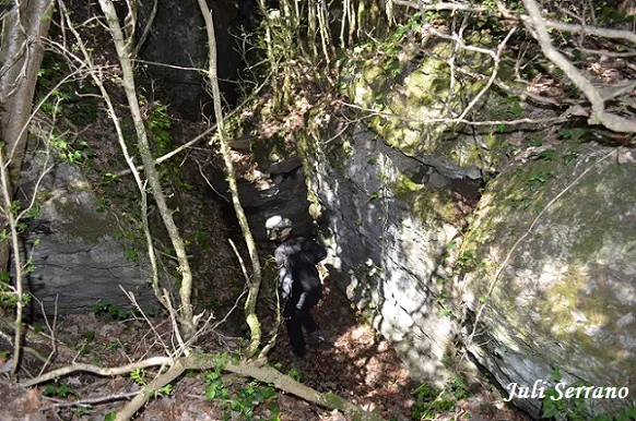
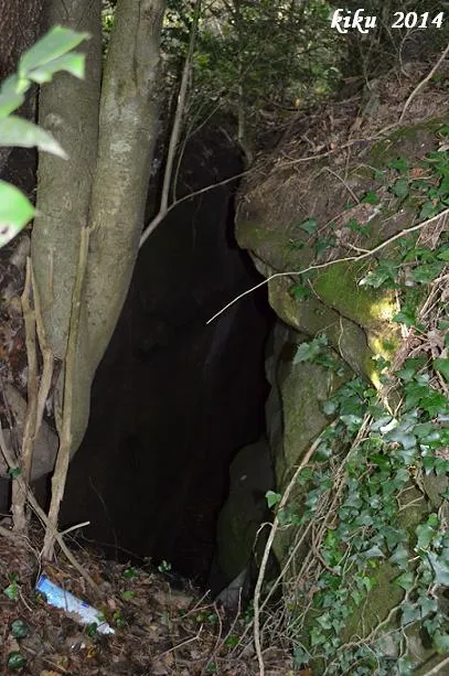
Foto
Espeleoindex · CC BY-NC 4.0, https://creativecommons.org/licenses/by-nc/4.0/ · Immagine © del suo autore.
Descrizione
Morfologia
A long fissure of tectonic origin has its base sloping towards the NW, the point where a narrow vertical shaft opens up that reaches a depth of -9 metres.
Storia
The first exploration of which we have a record was carried out in 1975 by the Grup Espeleològic de Mollet.
Commenti degli utenti (0)
Nessun commento ancora.
Sii il primo a condividere la tua esperienza!
Esplorazioni registrate (0)
Nessuna esplorazione registrata.
Registra la tua visita a questa grotta!
Bibliografia
- Borràs, J;Miñarro, JM; Talavera, F.(1982).-”el Baix Empordà, el Gironès, la Selva,l'Osona, el Vallès oriental i el Maresme.” Catàleg Espeleològic de Catalunya (vol.6):145-146. Ed Políglota. Barcelona.
- Valles, Jordi de (2010).-”Alt Empordà, Baix Empordà, Gironès, Osona, Pla 0de l'Estany, Selva”. Catàleg Espeleològic de Catalunya (vol.4):372-373. ECG/FCE.
- Coordenades, situació, fotografies i dades, facilitades per Juli Serrano (SIE – CEA) i Francesc Rubinat (ERE – CEC).
Grotte vicine


Fonte: Espeleoindex (espeleoindex.com), modificato. CC BY-NC 4.0, https://creativecommons.org/licenses/by-nc/4.0/