
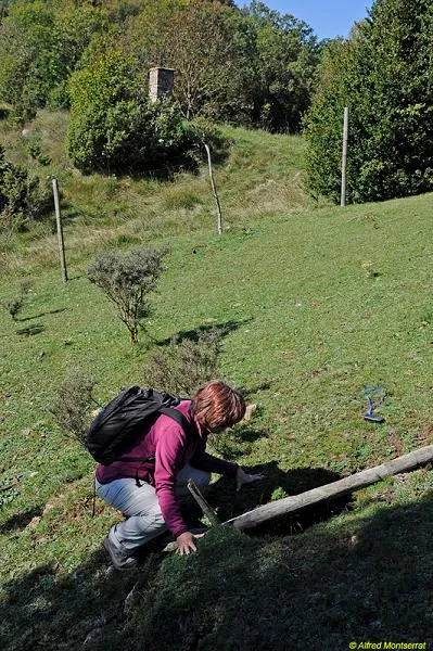
Esquerda del Coll de la Creueta
An 18-metre-deep fissure in Camprodon (Ripollès), known to local people and explored on 13 March 1973 by the Grup Espeleològic Pedraforca.
EspeleoWorld
Esquerda del Coll de la Creueta
An 18-metre-deep fissure in Camprodon (Ripollès), known to local people and explored on 13 March 1973 by the Grup Espeleològic Pedraforca.
Camprodon · Ripollès
Sviluppo: 30 m · Profondità: 18 m
Scheda aggiornata
https://espeleoworld.com/it/c/esquerda-del-coll-de-la-creueta
Le informazioni possono cambiare. Verifica sempre coordinate, accesso, meteo e condizioni della cavità prima di partire.
An 18-metre-deep fissure in Camprodon (Ripollès), known to local people and explored on 13 March 1973 by the Grup Espeleològic Pedraforca.
Topografia
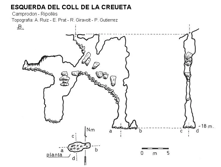
Espeleoindex · CC BY-NC 4.0, https://creativecommons.org/licenses/by-nc/4.0/ · Immagine © del suo autore.
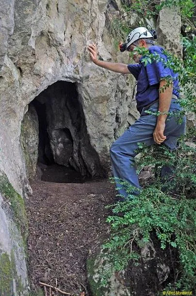
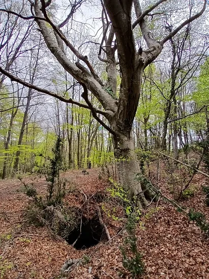
Foto
Espeleoindex · CC BY-NC 4.0, https://creativecommons.org/licenses/by-nc/4.0/ · Immagine © del suo autore.
Descrizione
Morfologia
It is a narrow fissure, occupied by a large quantity of blocks wedged in the walls. A depth of -18 metres can be reached via the two shafts open at the ends of the main fissure.
Storia
This cavity was known to the local people. On 13 March 1973, it is explored by the Grup Espeleològic Pedraforca.
Commenti degli utenti (0)
Nessun commento ancora.
Sii il primo a condividere la tua esperienza!
Esplorazioni registrate (0)
Nessuna esplorazione registrata.
Registra la tua visita a questa grotta!
Bibliografia
- Borràs,J;Miñarro,JM;Talavera,F.(1980).-”el Ripollès, la Garrotxa i l'Alt Empordà” Catàleg Espeleològic de Catalunya (vol.4):1-296. ed. Políglota. Barcelona.
- Montserrat Nebot, Alfred (1974).-”Alt Ter” Ildobates (V):12-54. Grup Espeleològic Pedraforca.
- Coordenades, fotos i dades facilitades per Alfred Montserrat (ERE-CEC).
Grotte vicine
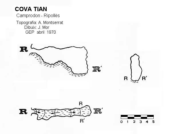
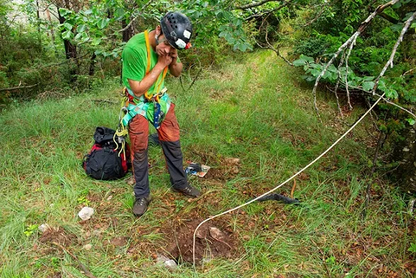


Fonte: Espeleoindex (espeleoindex.com), modificato. CC BY-NC 4.0, https://creativecommons.org/licenses/by-nc/4.0/